
This itinerary will take you exploring the Var hinterland and some of the region's typical little villages. Stop off to visit them one by one and get a feel for the local culture.
> ACCESS
Take the destination of the Old Port of Saint-Raphaël. Park in the streets and car parks of Saint-Raphaël.
> STARTING POINT
GPS coordinates :43.423132, 6.766178
99 Quai Albert 1er, near the Old Port of Saint-Raphaël
> ITINERARY
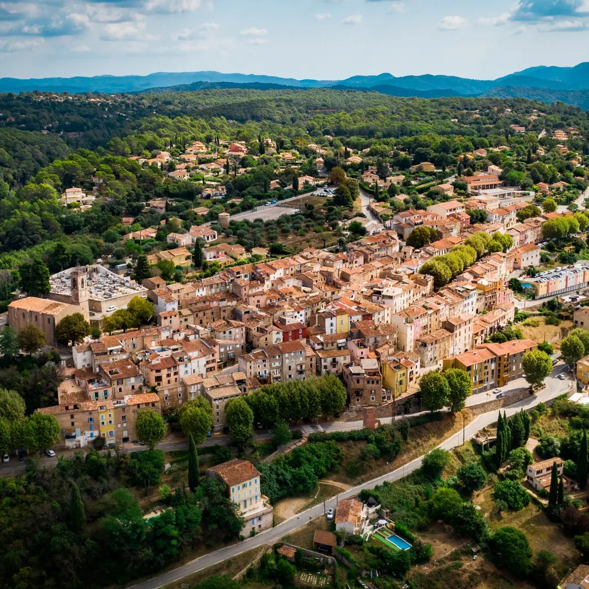
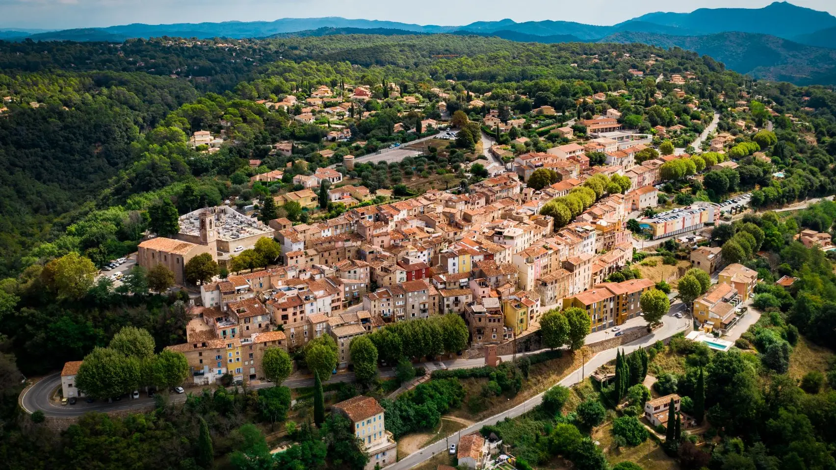
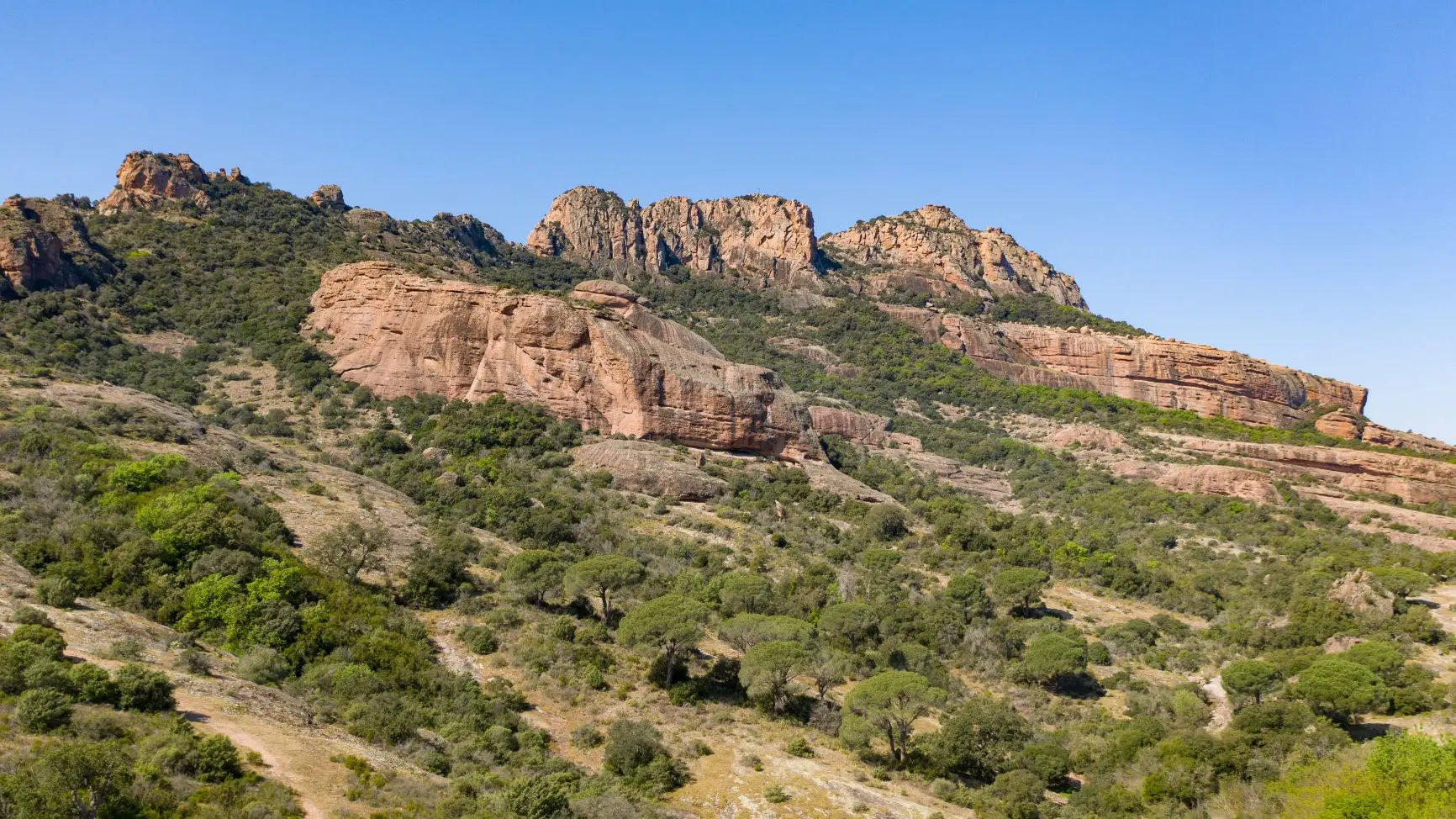
Saint-Raphaël, direction Fréjus. Take the D8 which will take you to Roquebrune-sur-Argens, on leaving the village take between the Saint-Roch chapel and the Argens bridge on the left to walk along the Roquebrune rock to Le Muy.
Follow the direction Domaine de Saint-Andréol, then road to Bagnols-en-Forêt, 5 km after the village, turn right on the D56 until the Tire Boeuf crossroads, then take the D562 until the Lac de Saint- intersection Cassian.
Climb the terrible Adrets hill (the hardest part is done) all you have to do is reach your starting point via Fréjus.
Take the destination of the Old Port of Saint-Raphaël. Park in the streets and car parks of Saint-Raphaël.
> STARTING POINT
GPS coordinates :43.423132, 6.766178
99 Quai Albert 1er, near the Old Port of Saint-Raphaël
> ITINERARY
Saint-Raphaël, direction Fréjus. Take the D8 which will take you to Roquebrune-sur-Argens, on leaving the village take between the Saint-Roch chapel and the Argens bridge on the left to walk along the Roquebrune rock to Le Muy.
Follow the direction Domaine de Saint-Andréol, then road to Bagnols-en-Forêt, 5 km after the village, turn right on the D56 until the Tire Boeuf crossroads, then take the D562 until the Lac de Saint- intersection Cassian.
Climb the terrible Adrets hill (the hardest part is done) all you have to do is reach your starting point via Fréjus.
- Tips- The rock of Roquebrune
- The lake of St Cassien
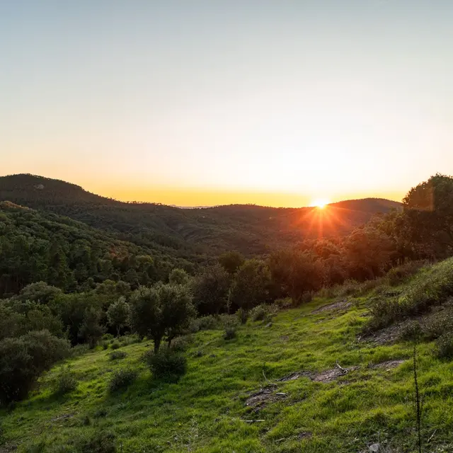
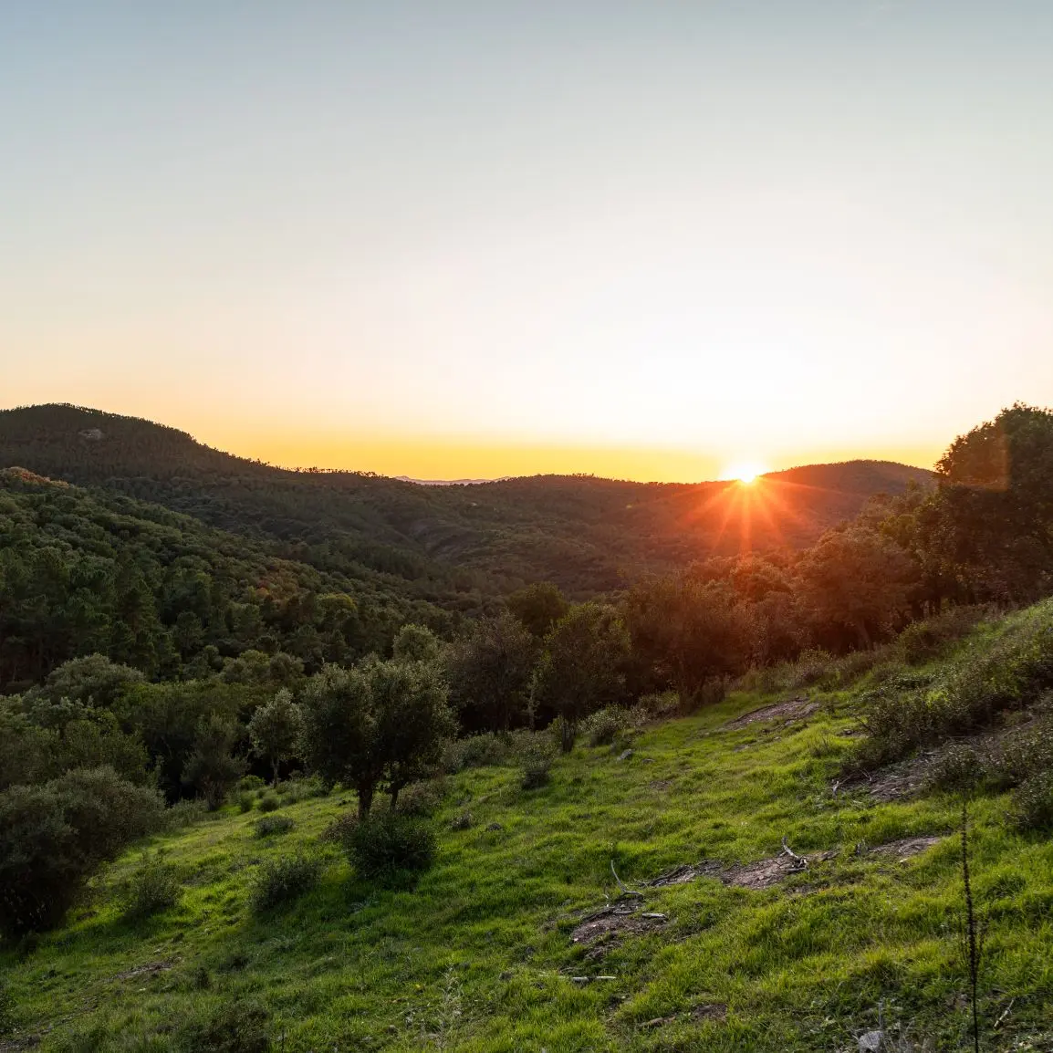
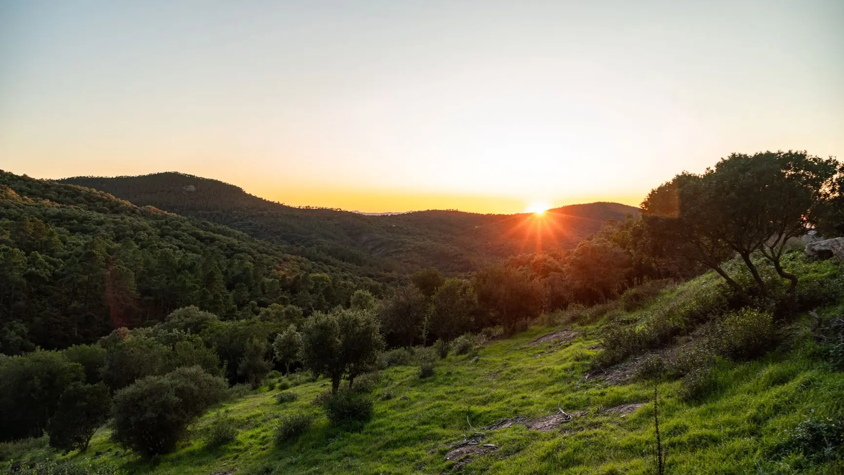
- Discovery of the hinterland: village of Bagnols-en Forêt and plain of Fayence with view of Callian and Montauroux
Openings
Openings
All year 2025 - Open everyday
Subject to favorable weather
Location
Location
Spoken languages
Spoken languages
Environment
Environment
- Forest location
- Lake view
