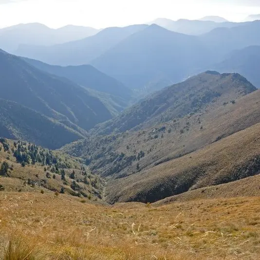
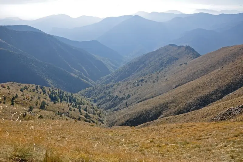
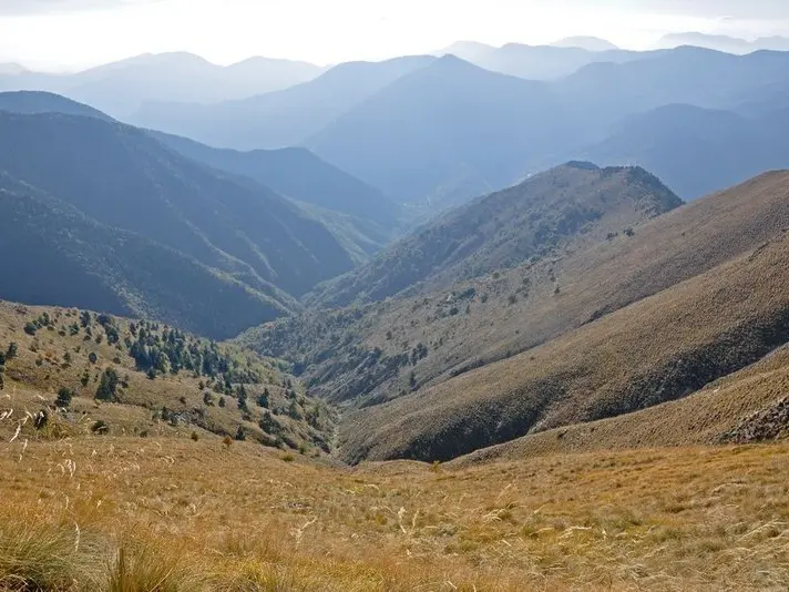
This hike constitutes an opportunity to explore the old summer pastures of Les Moulinois, before it leads you to La baisse de la Déa from where you can discover the atmosphere of the black woods of Breil.
From the square, take rue Carnot, the only road which heads up to the village.At the crest of this road, turn right onto rue de l'Église, which ends at Place St Bernard. Continue on the left of the church via rue Gaspérini which leads you to the wash-house and the RD2566. Walk along this road, cross a stone bridge from which you can see an ice house on the left.
Continue for around 200m on the RD2566, then on your right, a marked path (marker 25) shows the way towards Capou. Having crossed the stone bridge over the Bévéra, a path which climbs in zigzags, from which you can see Moulinet, leads you to a flatter section after half an hour.
A very gentle slope subsequently leads to the barns of Peyrouna, and then, quarter of an hour's walk later, to the barns of Capou. These places served as summer pastures until after the war; it was where the families of Moulinet grew cereals and vegetables for their winter stocks.
Continue along the path to reach the Barivière forest. Surrounded by pine trees, the atmosphere is refreshing. You will then start on the difficult passage which leads to the Baisse de la Déa.
Follow the same route for the return journey.
Difficulté = Hard
Openings
All year 2026 - Open everyday
Subject to favorable weather
Location
Access
Access
- Departure : Moulinet, Place St Joseph.
Arrival : Moulinet, Place St Joseph.
Parking : Moulinet, Place St Joseph.
