Panoramic hike that will take you off the beaten track, for hikers accustomed to walking outside official markings.
Read moreShow less
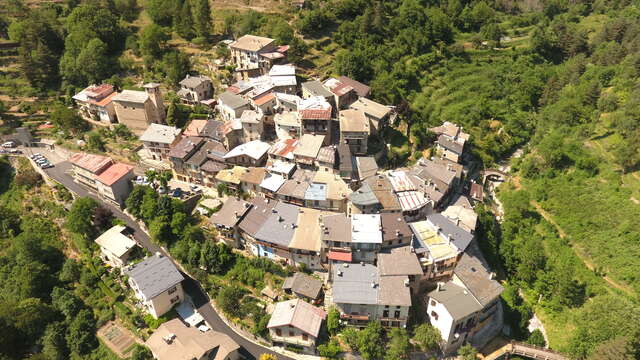
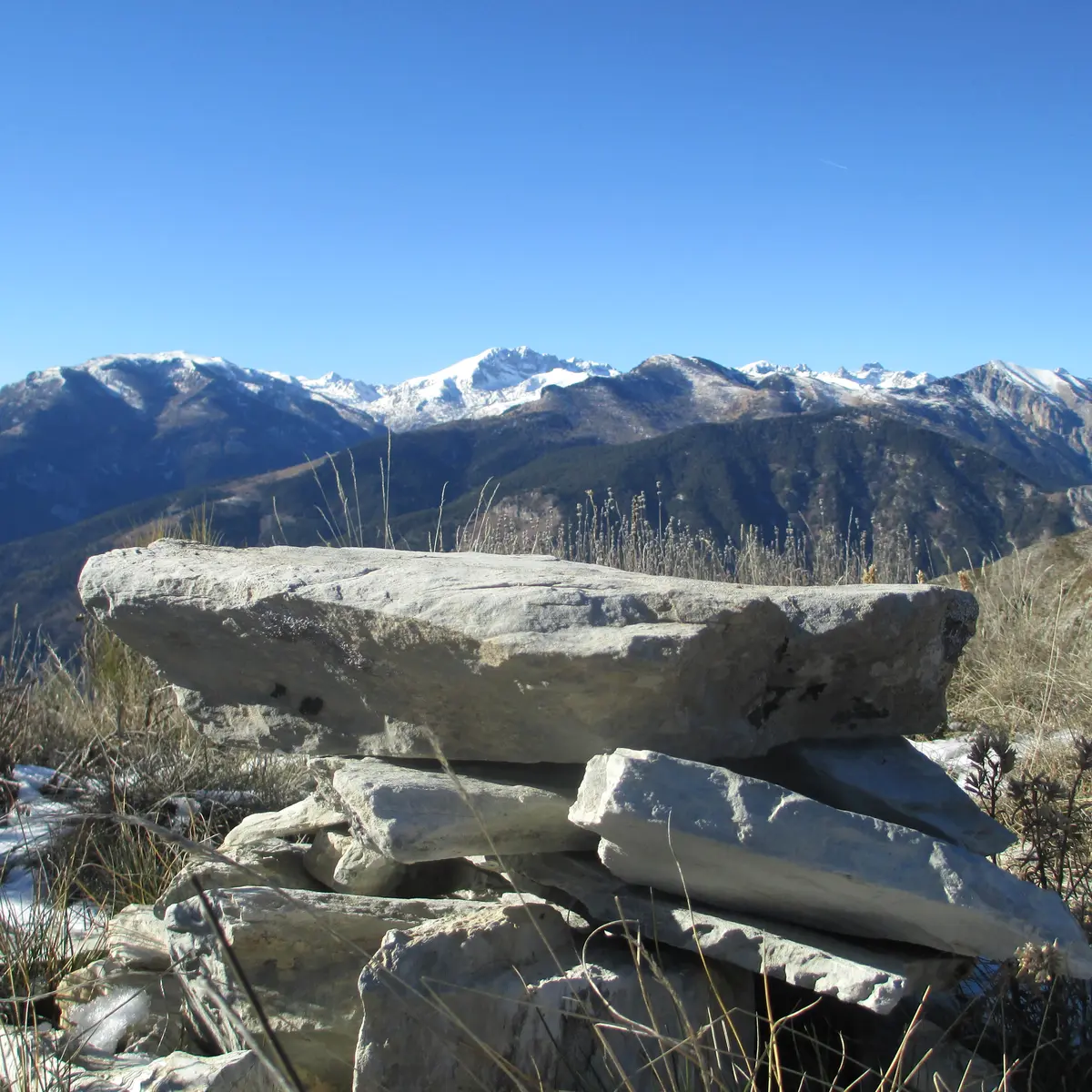
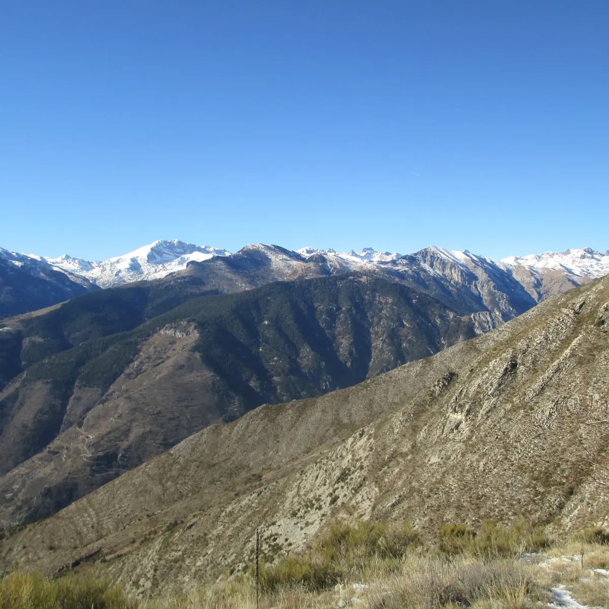
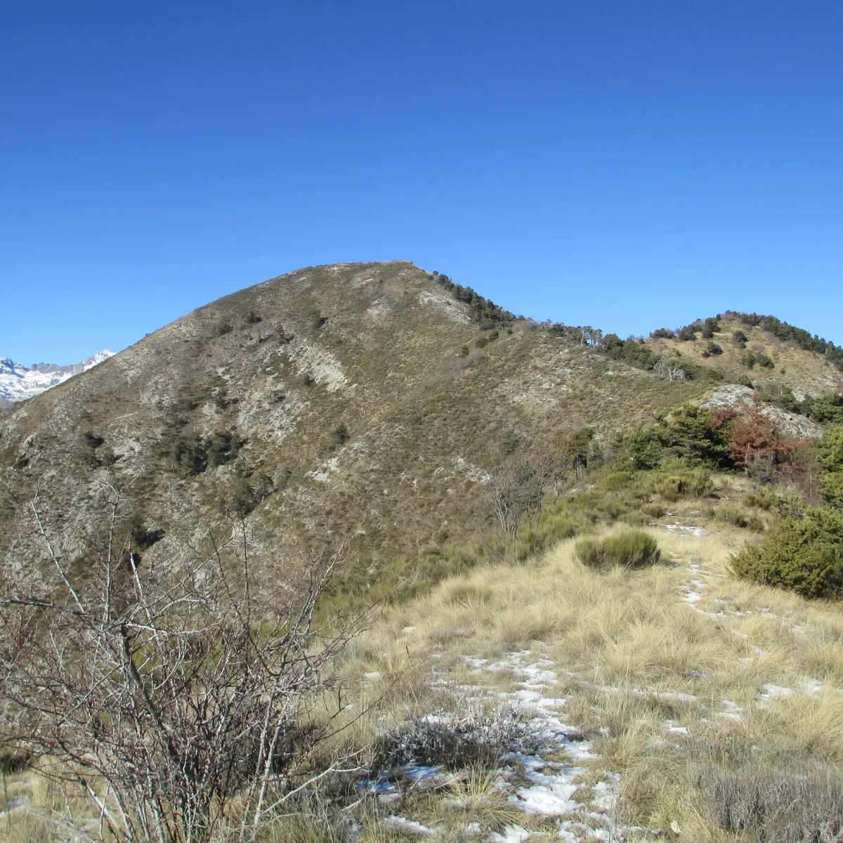
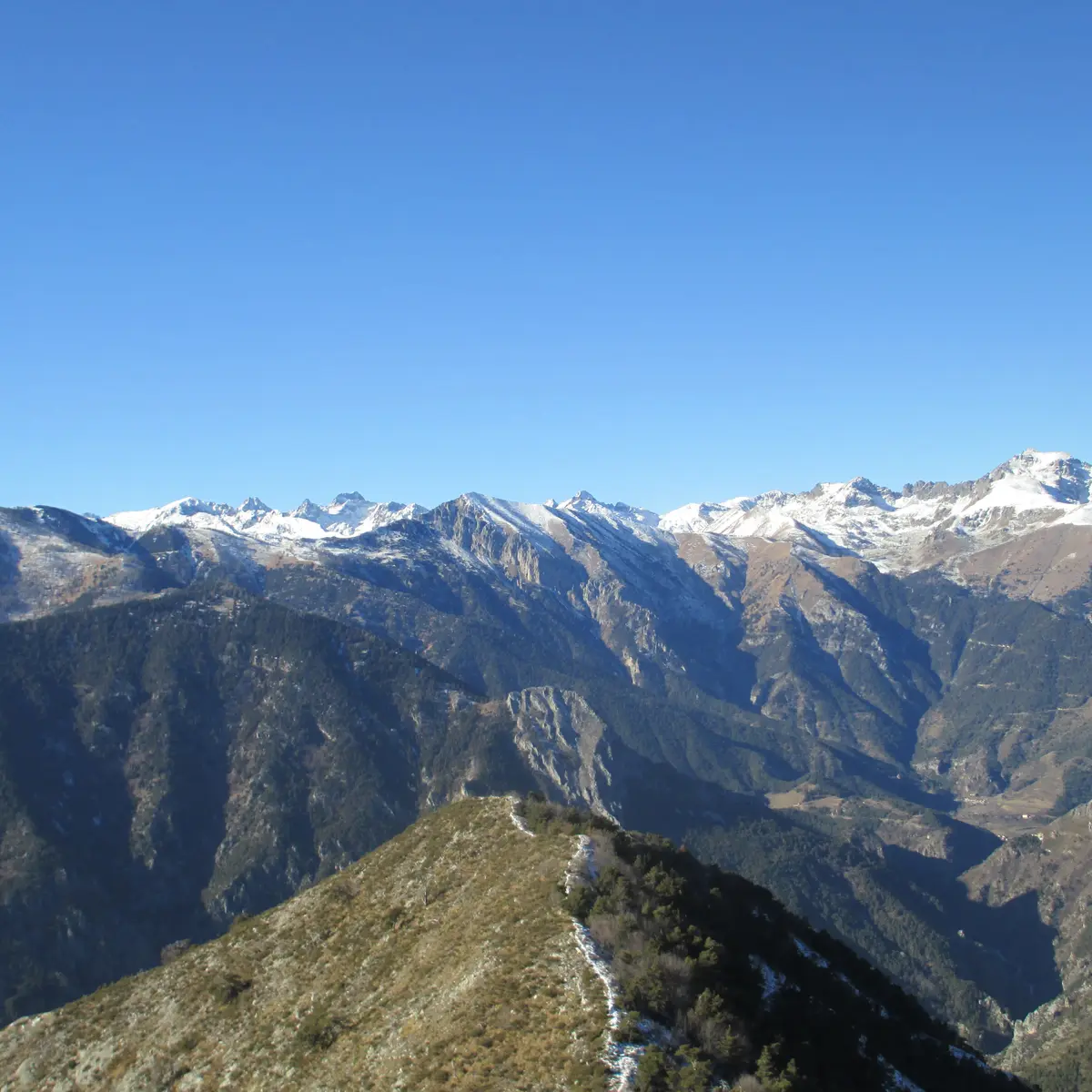
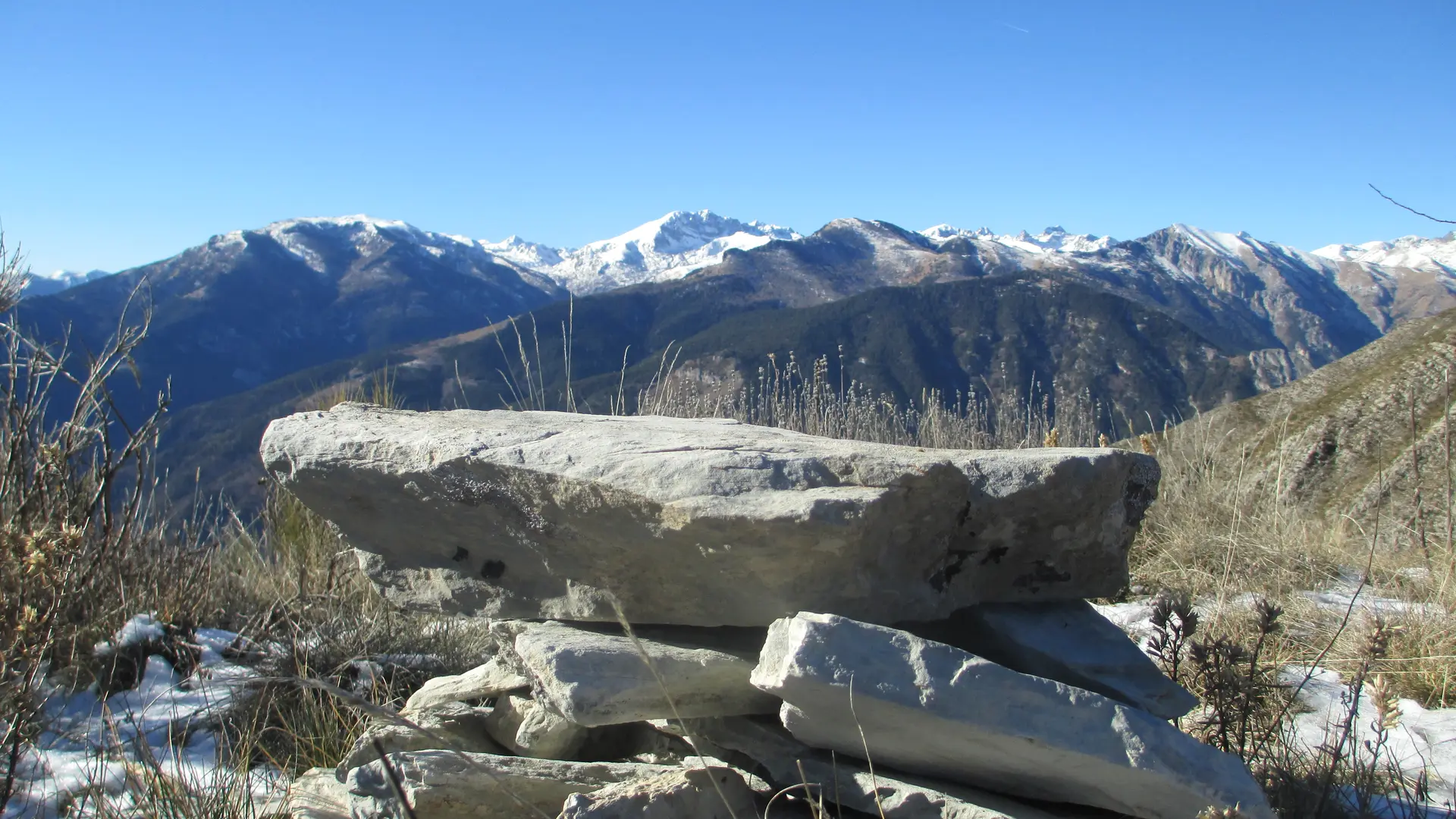
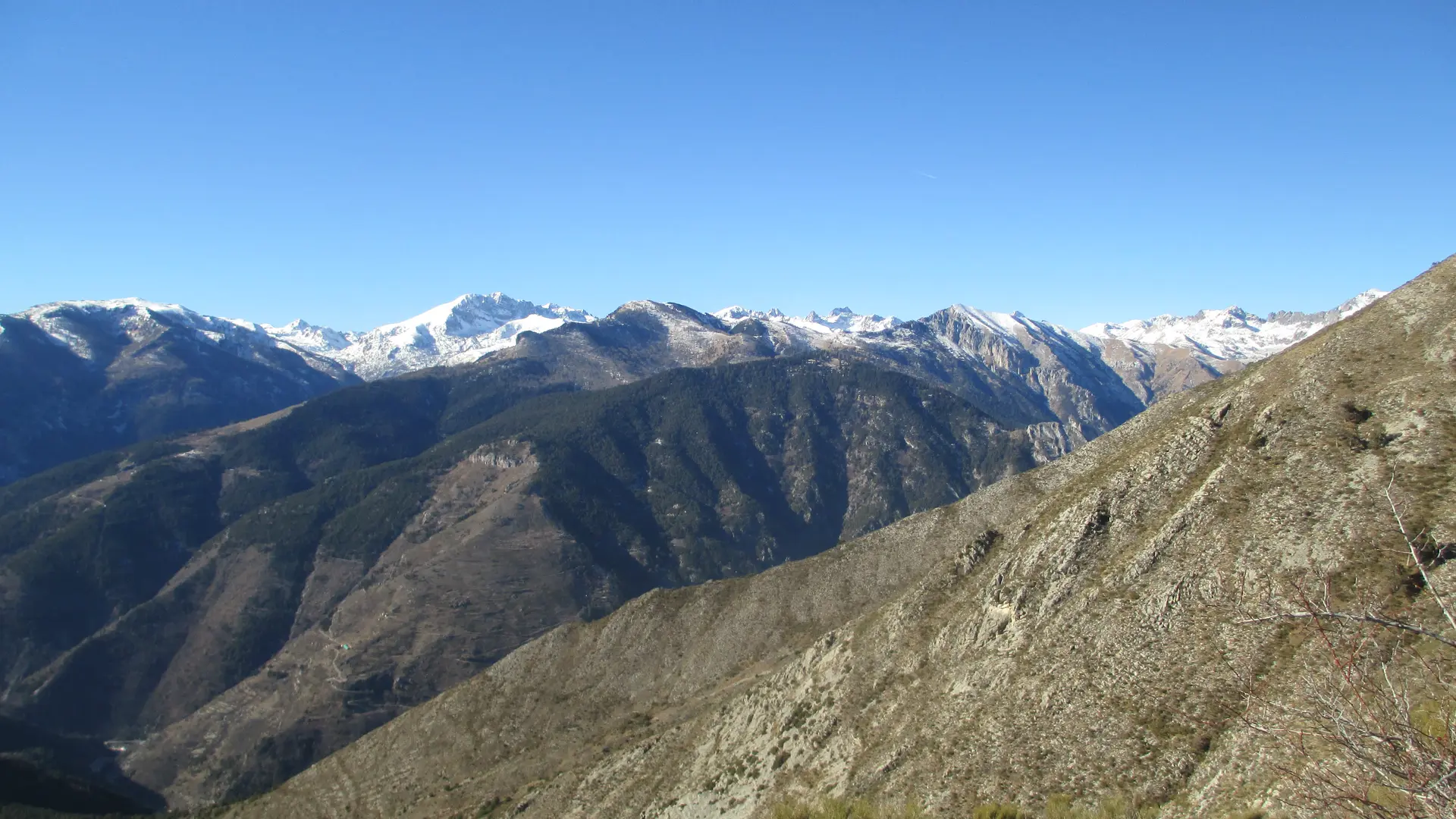
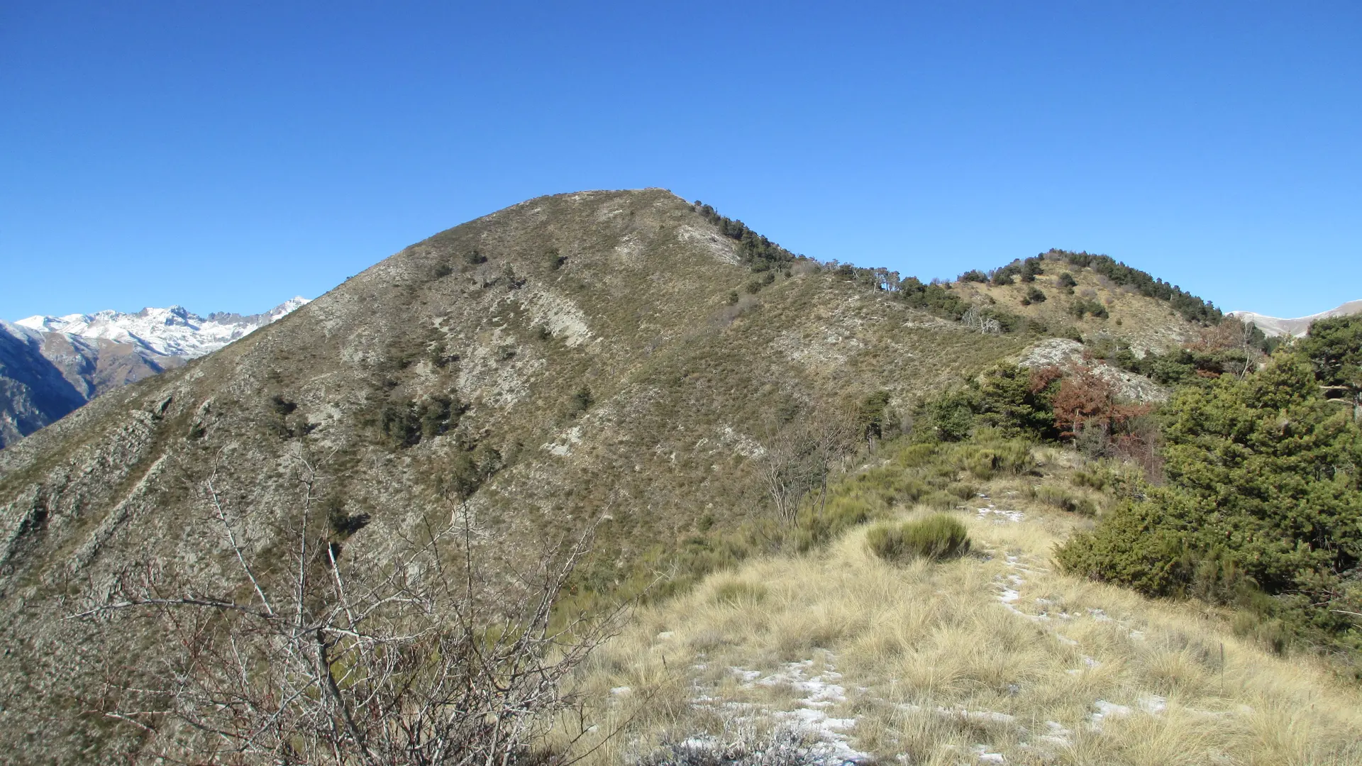
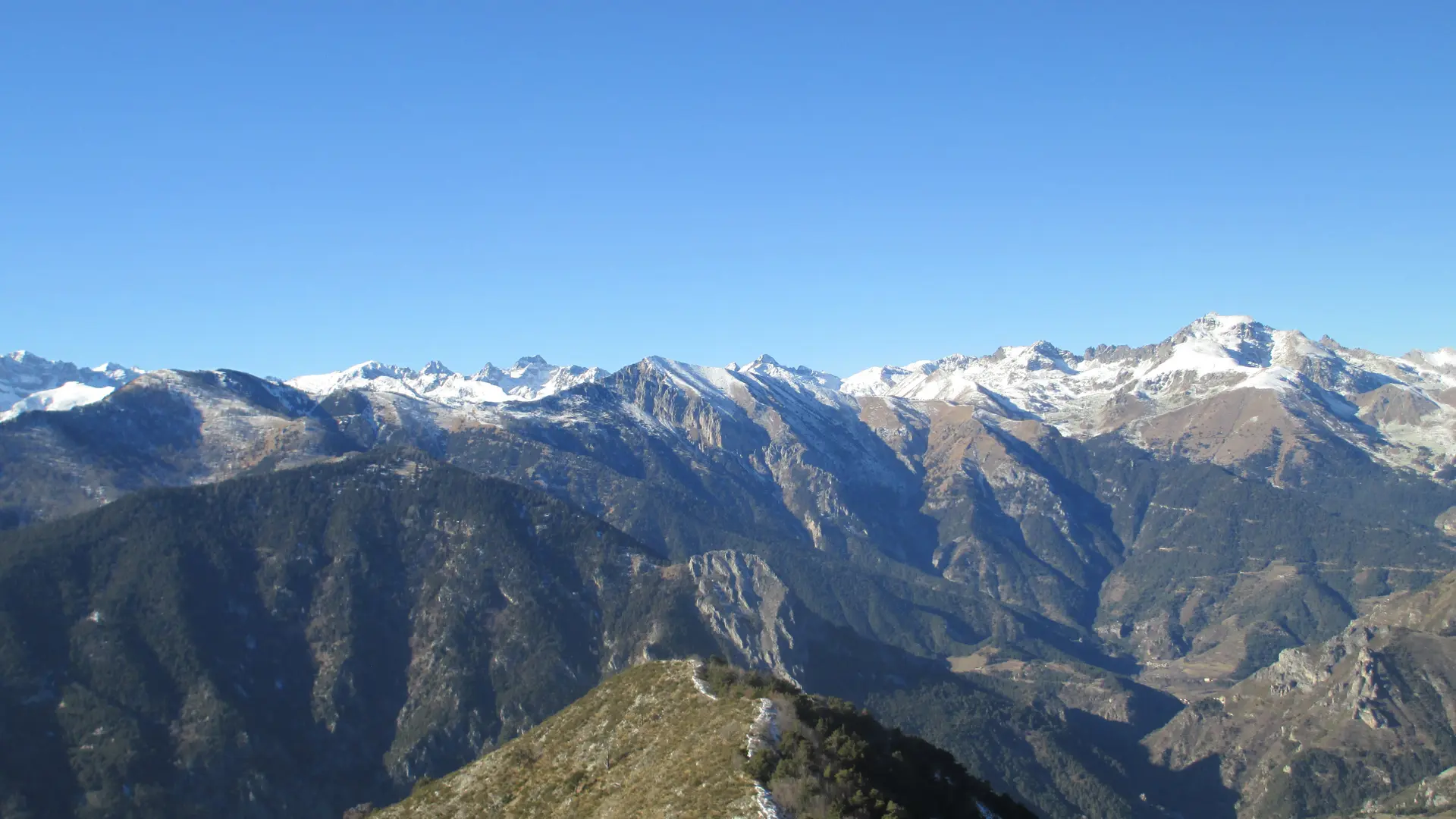
Departure * from the Ugail drop at 1,392 meters, accessible by car from the hamlet of Morignole via a track in good condition (approximately 6 kilometers). Park at the Ugail drop. Then head west opposite the 300 beacon. An unmarked trailhead goes through coniferous wood and climbs towards the crest of Ugail, use points 1 398; 1441; 1,618 and 1,666 on the “Vallée de la Roya” map TOP 25 n ° 3841 to find your way around; still heading west. This steep path gains height and will simply follow...