


Description
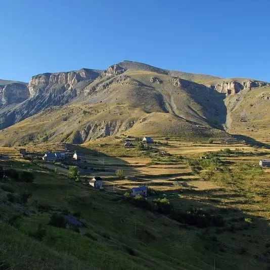
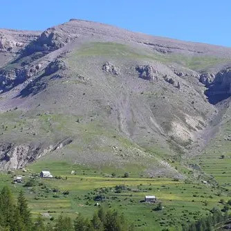
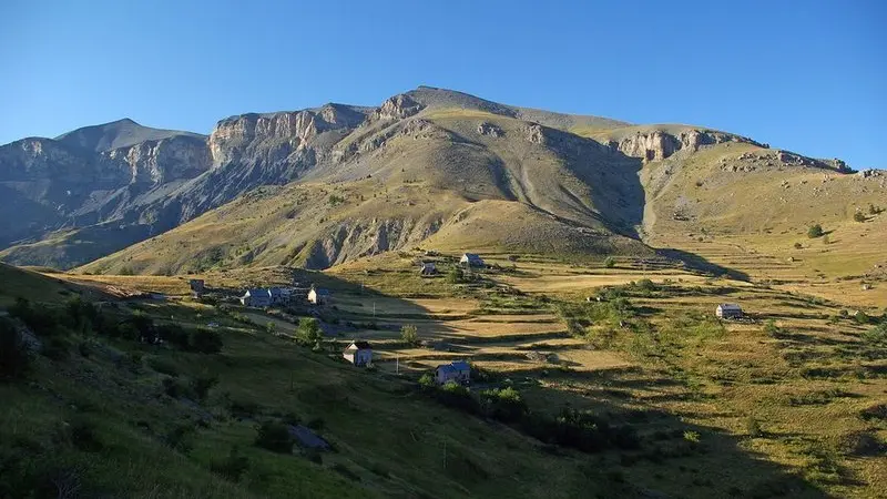
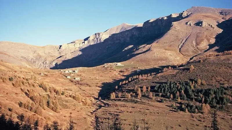
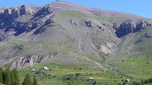
Explore mountain life as it was in the last century thanks to the small hamlet of La Colle. Its inhabitants were arable farmers, sheep and goat farmers and the richer ones were small-scale dairy farmers...
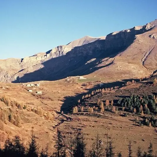
From the Col de l'Espaul, leave the Bois Garnier forest and the Lac de Beuil on your right. At the park signs, follow the dirt track which leads to the hamlet of La Colle.After the first houses, at marker 8 (directional arrow), take the Mont Mounier route which goes around the houses alongside the drinking trough and then the old sheep dips (dipping is a way of removing parasites).A wide path climbs upwards, touching upon agricultural terraces still covered in pasture. This is a very good area for seeing marmots.At marker 44, a delightful panorama over Beuil and Valberg opens up to you. At this marker, head down towards Beuil until you reach the sheep pens.Go pack up the path to get back to the hamlet of La Colle and the Col de d'Espaul, watching the delightful passerines such as shrikes or hoopoes. Migrating from Africa, this bird comes here to nest, setting a record for altitude!
Difficulté = Easy