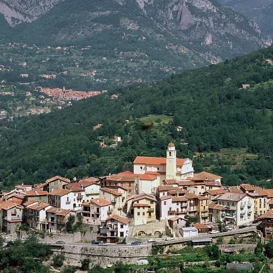
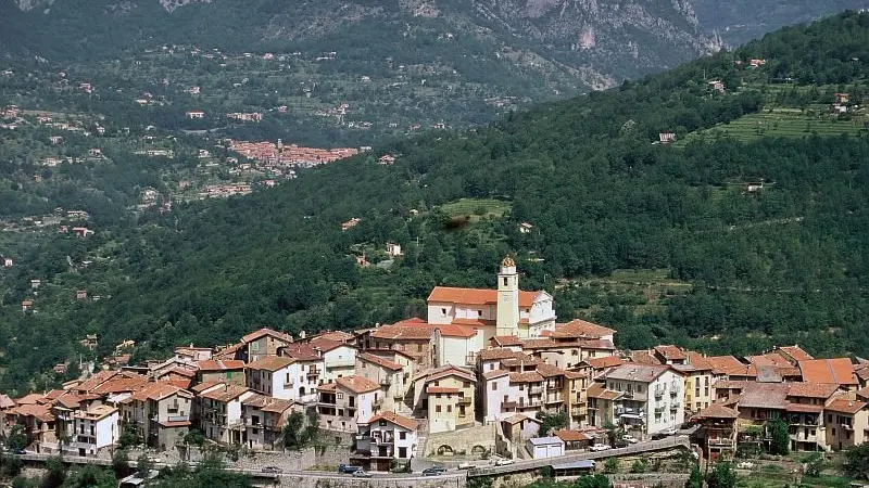
This hike, which features a good deal of climbing, takes place in a forest which represents a meeting point between a Mediterranean environment and the first slopes of the Alps.
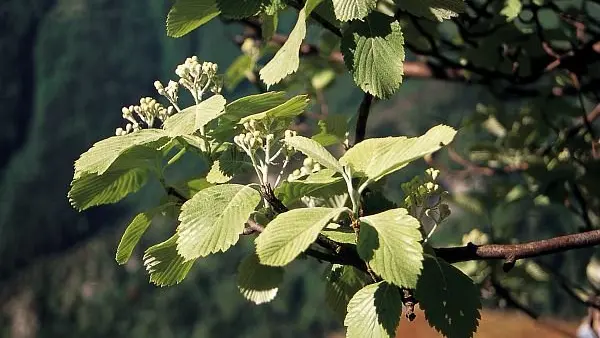
The departure point is at marker 247. The start of the itinerary is along the GR52A (red and white markers). Initially, you will be walking close to the Gordolasque mountain stream. The path then rises through the forest on a north-west facing slope until you reach marker 248.At the marker, leave GR52A and head left, crossing a flatter grassy section. The path follows a break in the foliage for 300 metres where you can see the former military installations which were part of the Maginot Line then leads onto a small road. Follow this road for a few metres then take the which is on the left.Enter the hop-hornbeam forest. At around 1250m altitude, then end of this hike is on the crest which separates the north- and the south-facing slopes. The path runs along this crest until it reaches Mont Péla (1465m) via marker 250.
Follow the same route for the return journey.
Difficulté = Hard
Location
Contact Le Mont Péla and the hop-hornbeam forest
Access
Access
- Departure : Véséou Bridge.
Arrival : Mont Péla.
From Saint-Martin de Vésubie, head down the M2565 towards Lantosque. After Roquebillière-le-vieux, go left towards Belvédère (M71). Continue for 650m and at the exit of the first left-hand bend, take the narrow road on the right signposted toward Véséou. Continue on the left at the following junction.
After approximately 1.5 km, you can park near to the bridge or marker 247.
