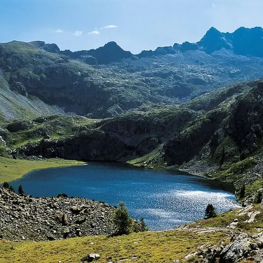


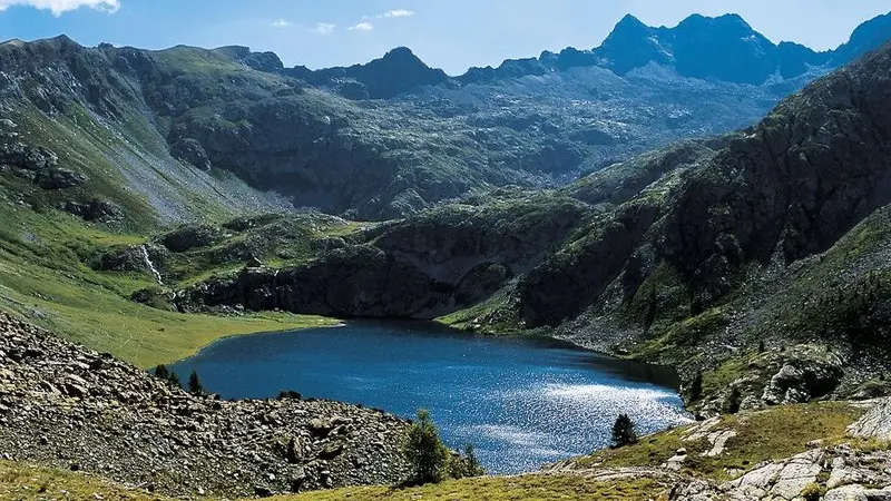
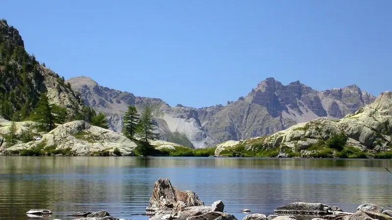
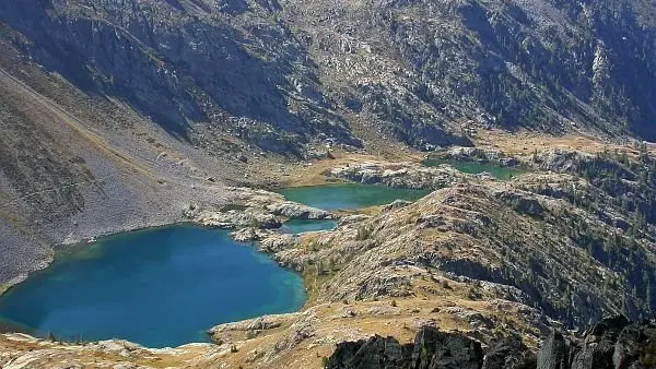
In the very heart of the National Park, discover an exceptional panorama with Alpine grasses, lakes, refuges and high transnational summits.
From Le Pra (1700m, marker 32), which you can drive to, follow the zigzagging path which overlooks the road before reaching the peaceful Morgon plateau and its old metal footbridge. Head through the larch forest and then a narrow section, denoted by marker 33, which provides access to the Tortisse Valley and to the forest houses (2252m) via a long stony passage. At marker 34, with a view over the Aiguilles de Tortisse, branch off to the right and take a good-quality path, which is often in the shade, to a narrow section which has no name, overlooking the Vens Valley (2422m). An airy path, which goes via an intersection at marker 23, leads to another narrow section (2409m) overlooking the large lake of Vens Supérieur. The refuge of the same name (2380m) can be seen at the other end of the lake above the waterfall.Follow the same route for the return journey. At marker 23, you can also, if the weather is not too hot, head down more quickly via the Vens valley and get back to the starting point of the itinerary.
Difficulté = Hard
Location
Access
Access
- Departure : Le Pra.
Arrival : Vens refuge.
Parking : Le Pra.
