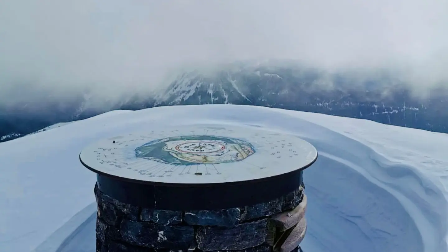
A hike that ends with a breathtaking view and an orientation table to enjoy the panorama.
Leaving from La Colmiane Valdeblore
Period: May to October
Duration : 4h30
Ascent: 760m / Descent : 760m
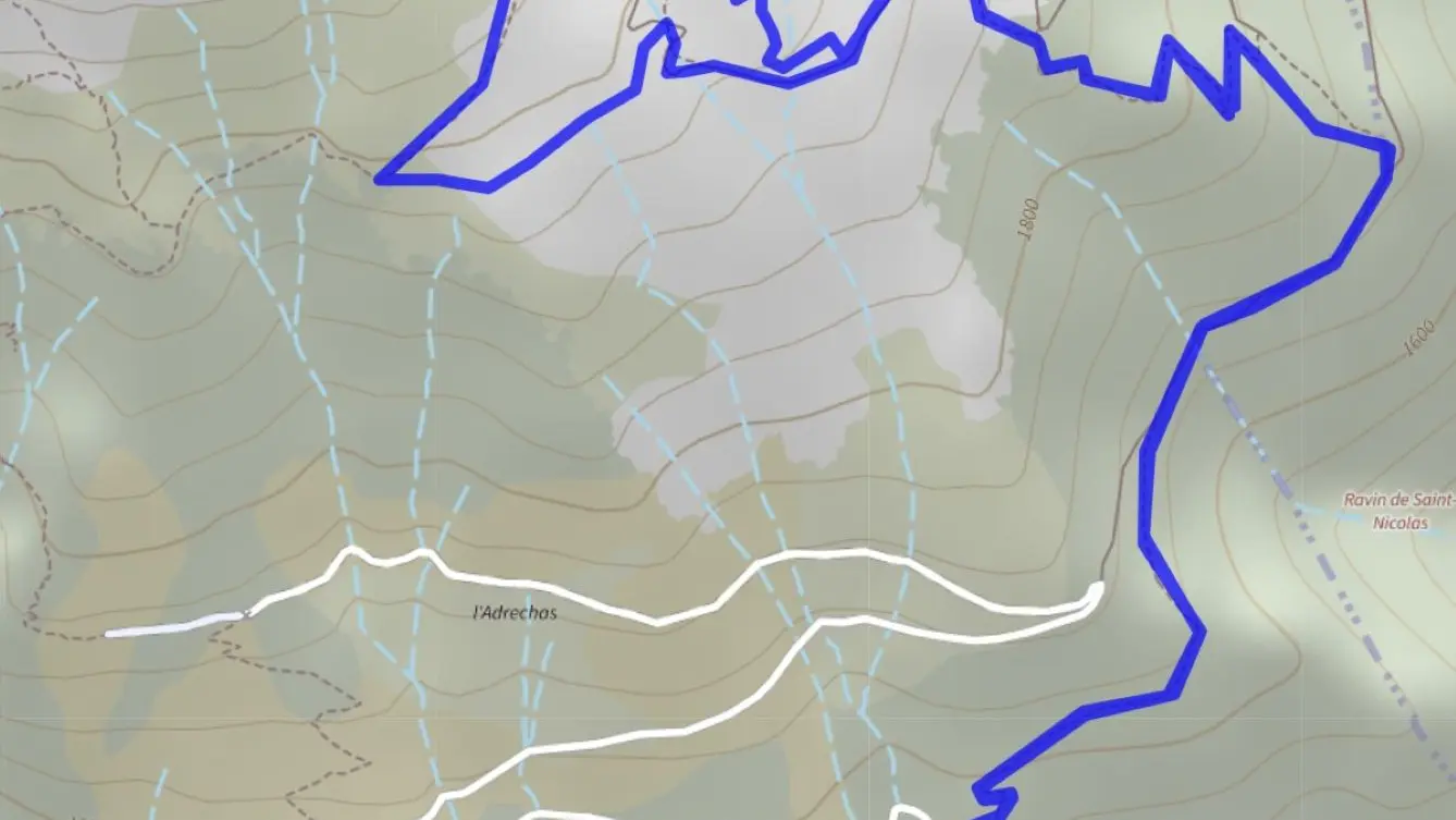
From La Colmiane (1500m - b.91), follow the wide Ecole des Neiges road.
A forest track then climbs into the pine forest (1697m - b.89).
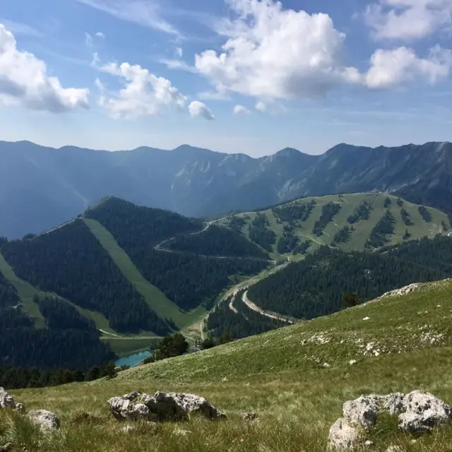
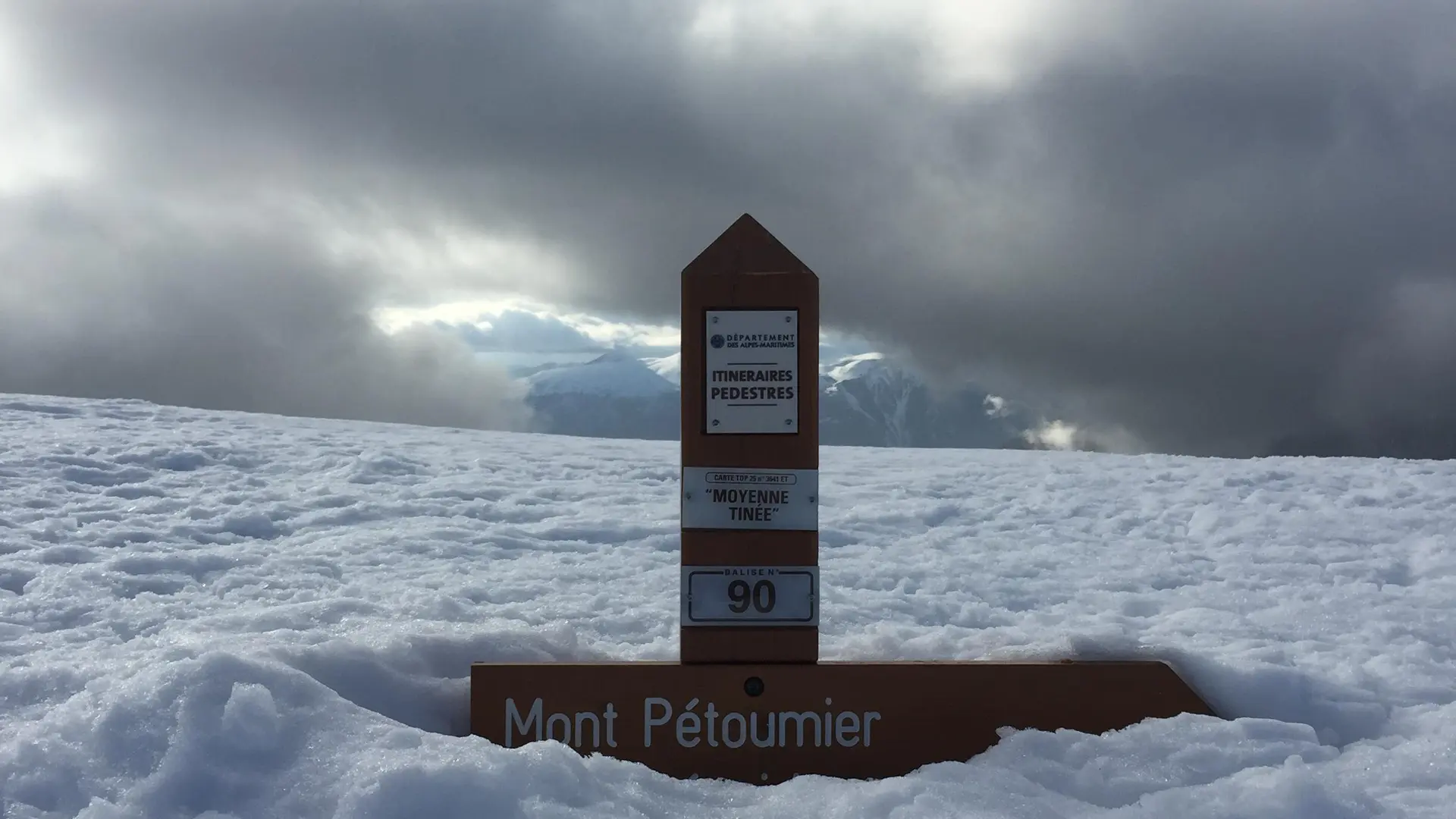
Turn left onto the path that winds up towards the mountain pastures as far as Petit Collet (b.90). Quickly reach the rocky summit of Baus de la Frema (2246m).
Return by the same route.
N. B.: You can continue this route by climbing Brec du Pétoumié (2566m).
From the Collet de la Balma, take the wide track on the right and after leaving a sheepfold on the left, the summit is in sight with a magnificent panorama of the Mercantour range.
(Allow 5 hours round trip and 1066m ascent).