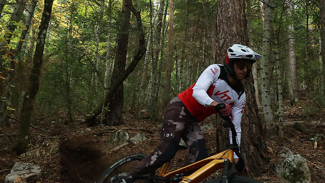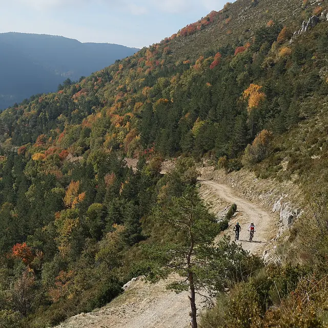
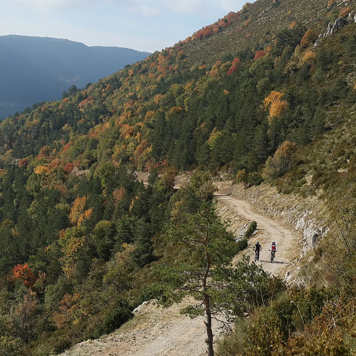
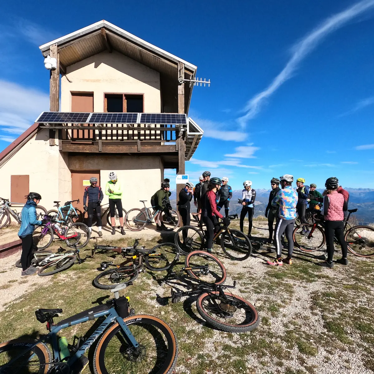
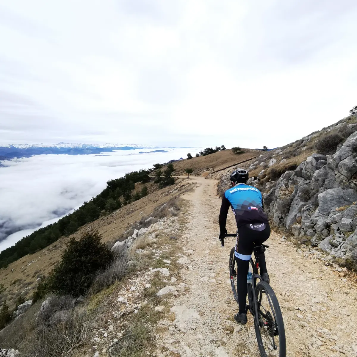
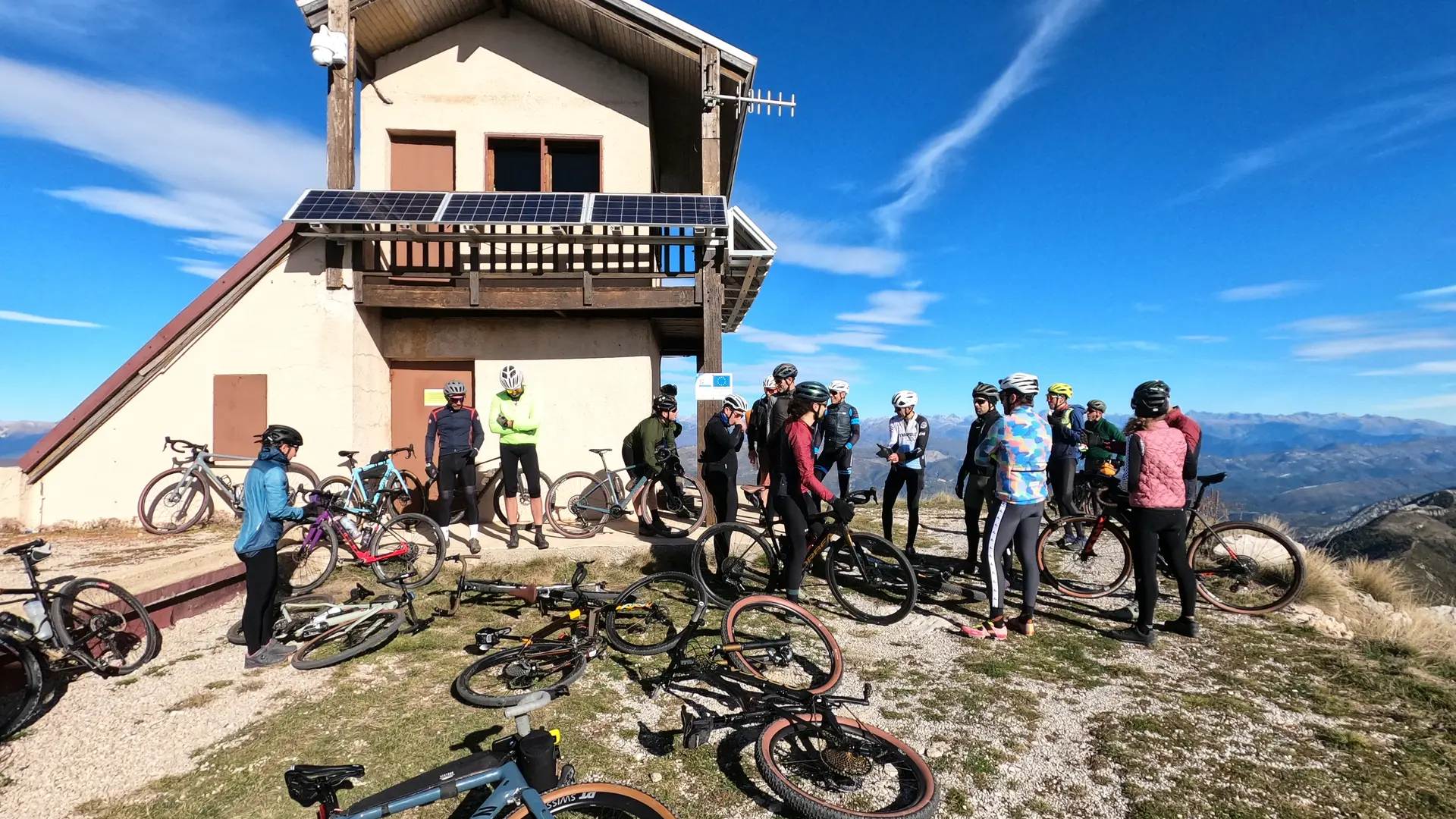
What better viewpoint to discover the landscapes than to climb to the summit of Arpille at an altitude of 1680m! This Gravel ride which has some elevation change can also be done by mountain bike or VVTAE. It takes place mainly on wide forest tracks and without great technical difficulty.
Type of activity: Gravel/E-MTB/XC
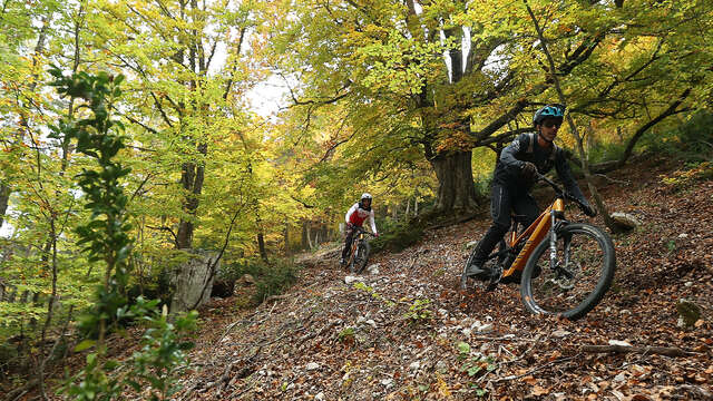
Type of route (65% trails, 20% roads)
Duration: 4.5 hours
Markings: Yes
Start: Village of Saint-Auban
This gravel route, which includes some elevation gain, can also be done on a mountain bike or electric mountain bike. It mainly follows wide forest tracks and is not particularly difficult from a technical point of view.
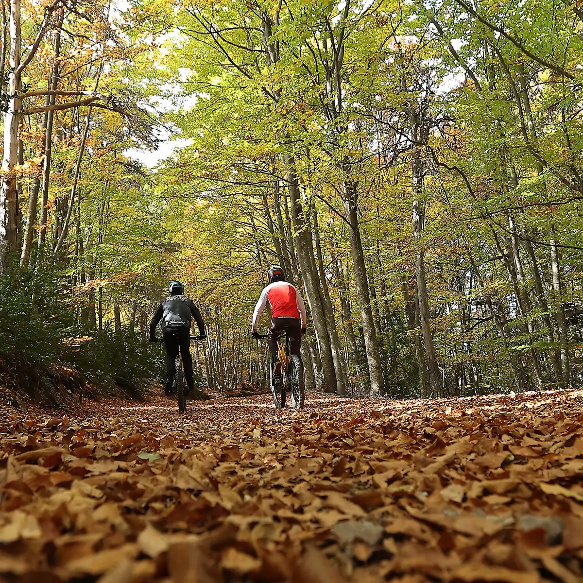
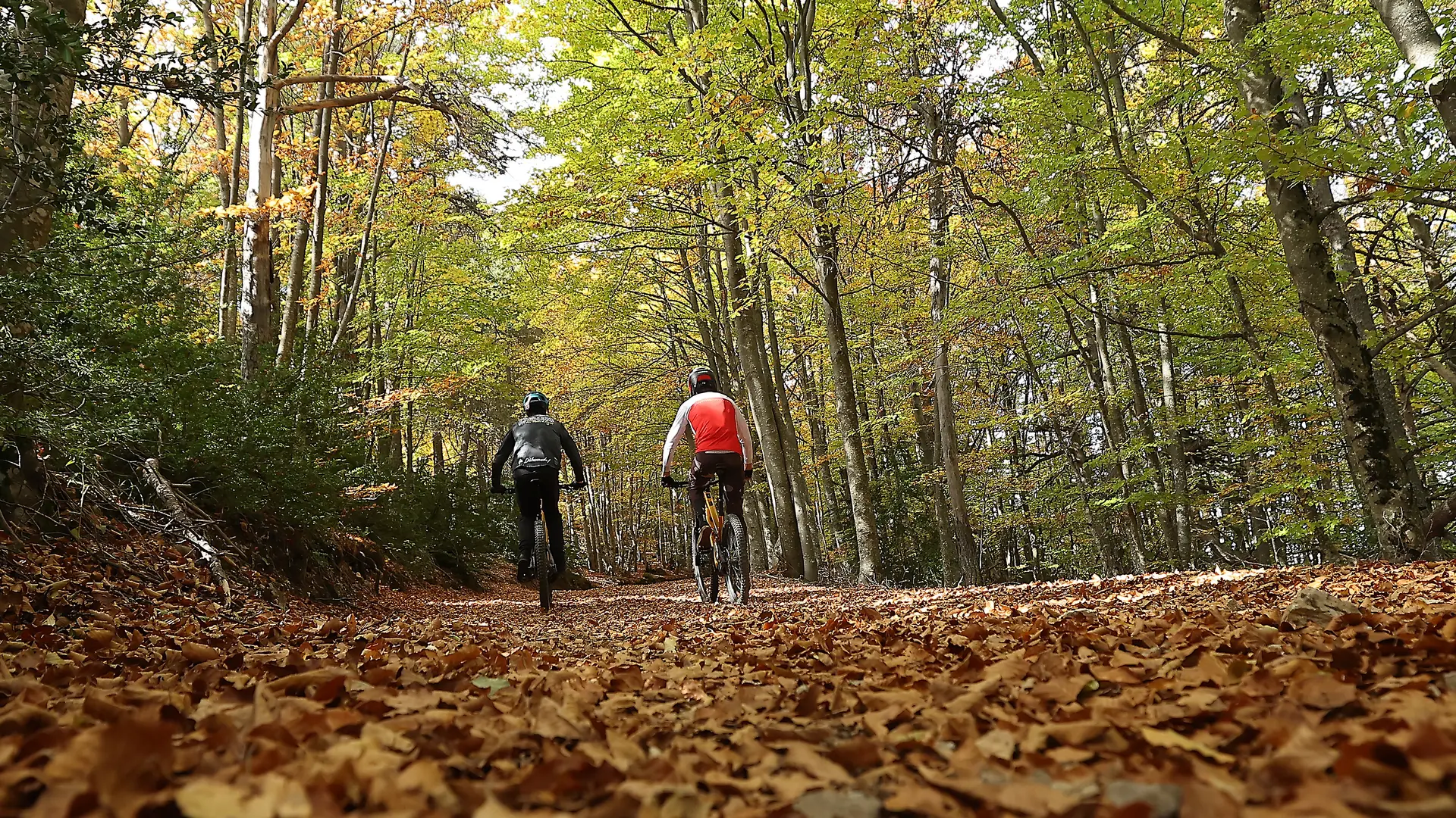
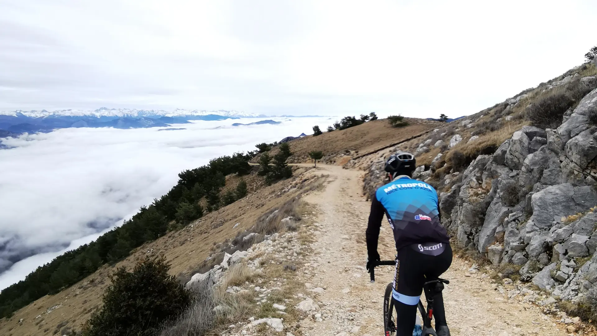
After crossing the beech forest, you begin the climb to L'Arpille along the track. You are then rewarded for your efforts with a magnificent view from the summit, where you can see the Mercantour mountain range. It is possible to camp at the summit in a designated area. The descent follows part of the same track used for the ascent to marker no. 110, where you turn left and return to the bottom of the Col de Bleine.
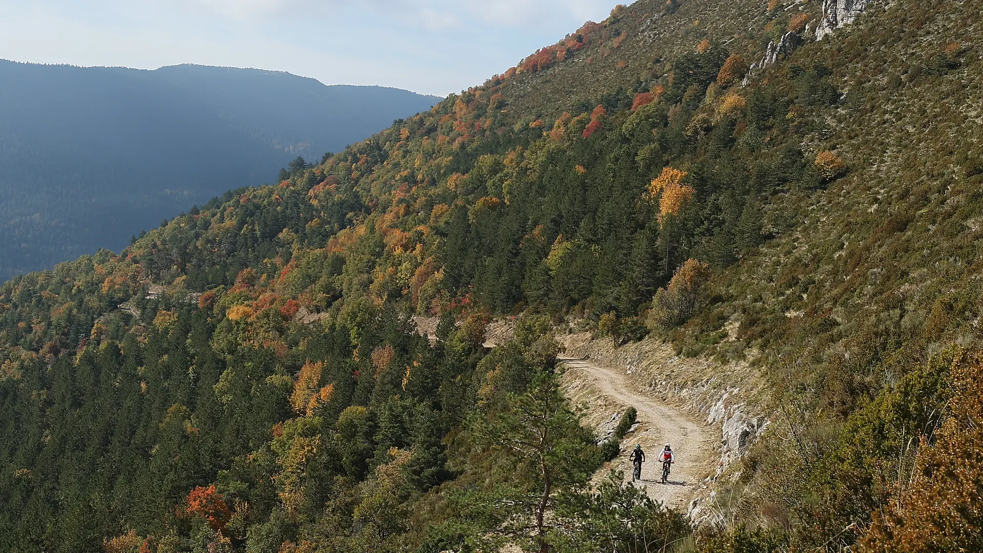
You then leave the road leading up to the Col de Bleine at the third hairpin bend on the left to tackle a nearly 5km downhill trail that takes you to the hamlet of Les Lattes. Please note that depending on the season, the trail may be a little rough for gravel bikes due to the presence of stones. Once you reach the junction with the RD221 departmental road, you return by road. You then leave this road just before the village to take a path that turns left and leads to the lakes of St-Auban. After the first lake, the route makes a right-hand hairpin bend and joins the RD221 departmental road to finally reach the finish.
Type of route (65% trails, 20% roads)
Duration: 4.5 hours
Markings: Yes
Start: Village of Saint-Auban
This gravel route, which includes some elevation gain, can also be done on a mountain bike or electric mountain bike. It mainly follows wide forest tracks and is not particularly difficult from a technical point of view.
After crossing the beech forest, you begin the climb to L'Arpille along the track. You are then rewarded for your efforts with a magnificent view from the summit, where you can see the Mercantour mountain range. It is possible to camp at the summit in a designated area. The descent follows part of the same track used for the ascent to marker no. 110, where you turn left and return to the bottom of the Col de Bleine.
You then leave the road leading up to the Col de Bleine at the third hairpin bend on the left to tackle a nearly 5km downhill trail that takes you to the hamlet of Les Lattes. Please note that depending on the season, the trail may be a little rough for gravel bikes due to the presence of stones. Once you reach the junction with the RD221 departmental road, you return by road. You then leave this road just before the village to take a path that turns left and leads to the lakes of St-Auban. After the first lake, the route makes a right-hand hairpin bend and joins the RD221 departmental road to finally reach the finish.
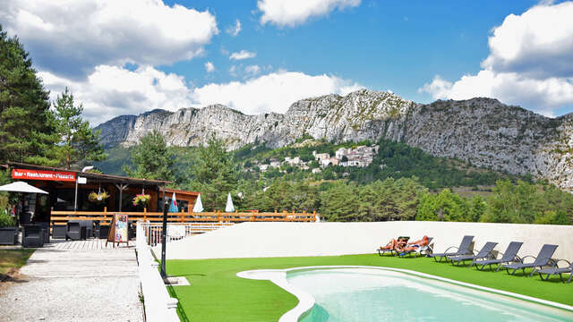
Services
Car park
Public WC
Charging stations for electric vehicles
Motorhomes allowed
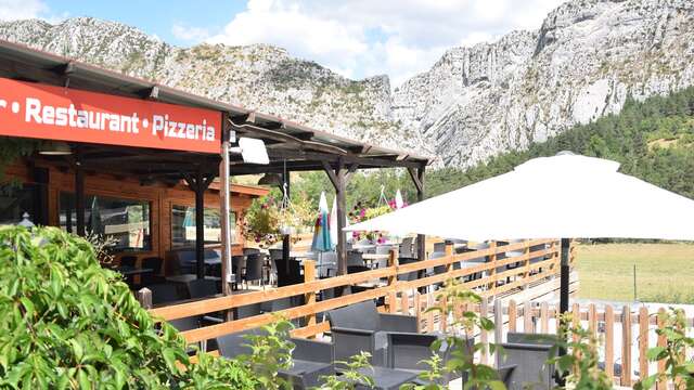
Restaurant
Openings
All year 2026 - Open everyday
Location
Spoken languages
Spoken languages