
Itinerary entirely on tracks, accessible by joëlette, offering a beautiful glimpse of the pastoral life still present around St-Dalmas-le-Selvage. On arrival at the Col d'Anelle, there's a splendid panorama of the Tinée valley and its peaks.
From the tourist office (marker 68), follow the GR5 (white and red markings) down past the Romanesque church, cross the bridge and continue on the left-hand track to marker 69.
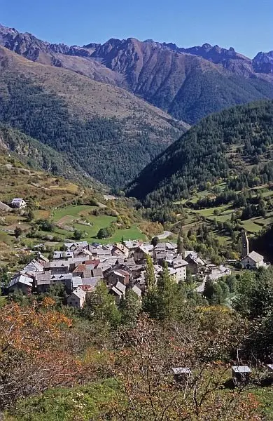
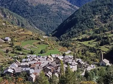
Continue on the track towards Col d'Anelle (GR5), which gradually winds upwards. The undergrowth and meadows are home to a wide variety of flora, depending on the season, such as Bertoloni's columbine on the shady slopes. Contemplate the magnificent view of the village of Saint-Dalmas-le-Selvage, with its proud Lombard bell tower, and the surrounding peaks, including the Fortin de la Tête de Vinaigre.
Reach the wide plateau with its larch-wood alpine barns, also known as "butières", and cross the plateau to continue along the track to the col (markers 70 and 71), from where there is a fine view over the Tinée valley.
Return by the same route.
