


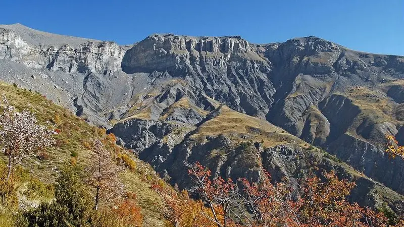
Once you reach around 2000m in altitude, you will have left the Mediterranean lavender and broom behind you and entered into an unfamiliar lunar landscape, illuminated by brightly coloured Alpine flowers.
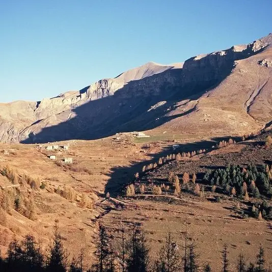
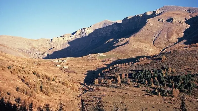
At the Park information boards, follow the dirt track which leads to La Colle along the mountainside.After the first houses, at marker 8, take the Mont Mounier itinerary which skirts around the houses, heading alongside the drinking trough and then the old sheep dips. A wide path rises, touching on the agricultural terraces. At marker 44, you will be able to appreciate the panoramic view over Beuil and Valberg.You will reach a first flatter, grassy section, followed by another flatter section and then reach the heart of the Park. Go over the ridge of Les Passes.At marker 47, another stop will be required to enjoy the panorama to the east of the Mercantour mountain chain and the direct view onto the ruined observatory.Head right, taking GR5 on the slopes of La Tinée. The path runs alongside the eroded slopes until Col des Moulinés, providing a view of the hamlet of Vignols and the Longon plateau.Head downwards onto the southern slopes towards the springs at Cians and at marker 45 you will reach the military track. Then follow directions to Col de l'Espaul until you reach the pastoral hut.A narrow footpath shortcutting the zigzagging path heads to the valley of Les Isclas and the former military camp around the barn.A 3km return journey via the path to Col de l'Espaul.
Difficulté = Medium
Difficulté = Medium
Location
Access
Access
- Departure : Col de l'Espaul, Valberg (commune of Péone).
Arrival : Col de l'Espaul, Valberg (commune of Péone).
At Valberg, opposite the chapel of Notre-Dame des Neige, turn left onto the road towards Les Huerris which rises via Avenue Jean Ray up to the Centre de l'Équipement. Then turn right onto the road towards La Colle, reaching the Col de l'Espaul (1748m) carpark 3km further on. National Park information board.
Parking : Carpark, Col de l'Espaul.
