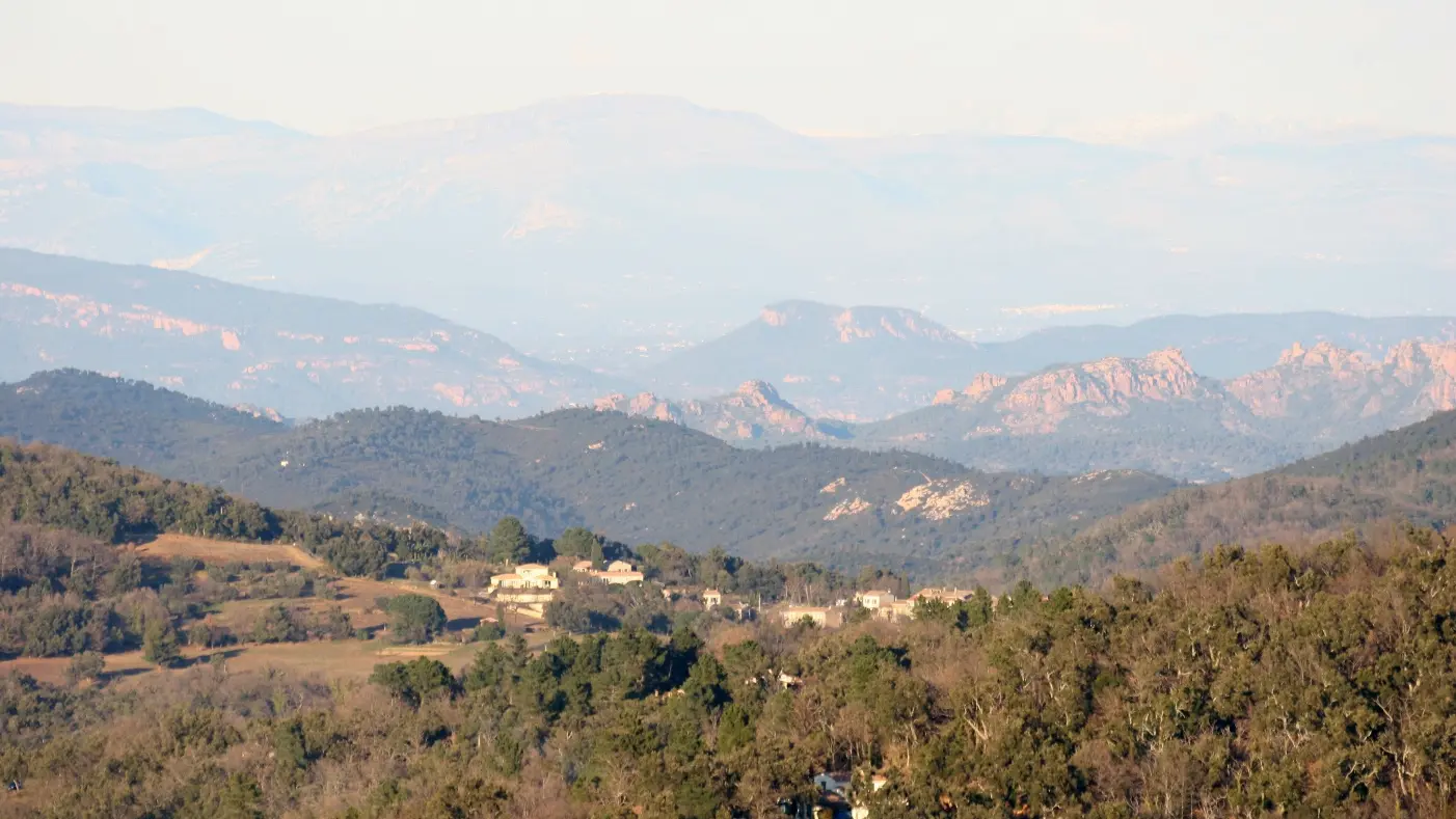
Starting from the hamlet of la Mourre discover the wild and preserved nature of the plain of the Maures as well as the views over the Maures mountains, « Mauro » in Provençal (Mistral), which means « the dark mountains ».
Hike 8
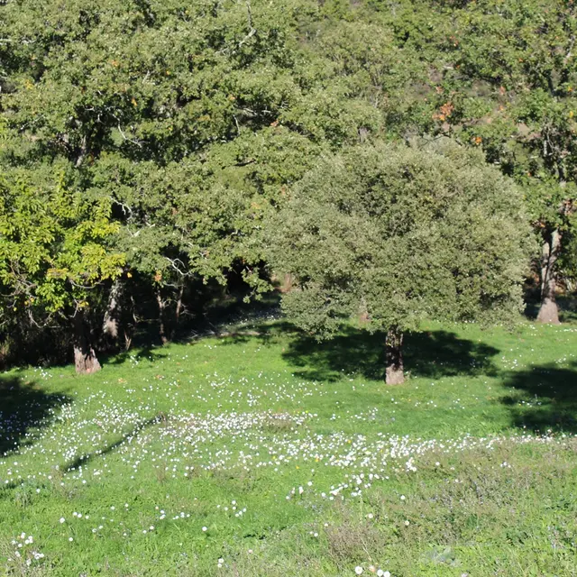
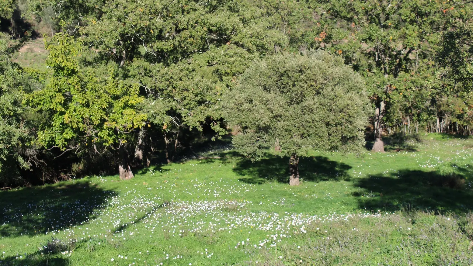
During this beautiful walk in the forest of the Maures massif, a few small hamlets on your route will enhance your itinerary.
PARKING: Free parking at the entrance to the Hameau de la Mourre, on the right, coming from La Garde-Freinet.
THE ROUTE :
This hike on a forest track crosses the Maures massif on a loop of about 16 km.
- Take the D75 towards Plan de la Tour by car, at the Col de Vignon turn left towards Hameau de la Mourre. There is a small car park on the right at the end.
- The hike starts at the entrance of the hamlet (indicated by a post with the number 8). Follow the track that goes down through the woods to the hamlet of Hautes Cabrettes (1 km).
- Follow the track to the left and descend for 500m to Basses Cabrettes. Leave the track and turn right after the ruined building, down the path in the undergrowth to the stream (300 m).
- Cross the small bridge and follow the path on the left which runs along the stream overhanging the river for 250 m. Go up to the right and follow the path along the vineyard (fenced) near an undergrowth for 50 m. At a fork (750 m), take the steep track that climbs to the right. At the top (green cistern), follow this track to the right. After 1.5 km there is a group of houses, Camp Long. The path passes an old mine (not accessible) and leads to the place called Les Poulas (1.4 km).
- Another 1.5 km on the same track you will see the distant landscape and a still wild nature.
- At the crossroads of the 4 paths (cistern) take the E 222 track which goes down to the right and leads to the hamlet of La Mourre (1,4 km.)
TO SEE / TO DO :
- Views of the massif and the Maures plain
- Visit the hamlet of La Mourre
- Hamlets of les Poulas, Camp Long, les Hauts Oliviers, les Basses et Hautes Cabrettes
RECOMMENDATIONS :
- Only use the path during authorised periods! Find out about the state of opening of the forests, especially in summer (see the Var prefecture website).
- Bring sufficient water and good shoes.
Take the D75 towards Plan de la Tour by car, at the Col de Vignon turn left towards Hameau de la Mourre. There is a small car park on the right.
The hike starts at the entrance of the hamlet (indicated by a post with the number 8). Follow the track that goes down through the woods to the hamlet of
Hautes Cabrettes (1 km). Follow the track to the left and descend for 500m to Basses Cabrettes.
Leave the track and turn right after the ruined building, down the path in the undergrowth to the stream (300 m). Cross the small bridge and follow the path on the left which runs along the stream overhanging the river for 250 m. Go up to the right and follow the path along the vineyard (fenced) near an undergrowth for 50 m. At a fork (750 m), take the steep track that climbs to the
right. At the top (green cistern), follow this track to the right. After 1.5 km there is a group of houses, Camp Long. The path passes an old mine (not accessible) and leads to the place called Les Poulas
(1.4 km). After another 1.5 km on the same track, you will see the distant landscape and a still wild nature.
At the crossroads of the 4 paths (cistern) take the E 222 track which goes down to the right and leads to the hamlet of La Mourre (1.4 km).