


Description
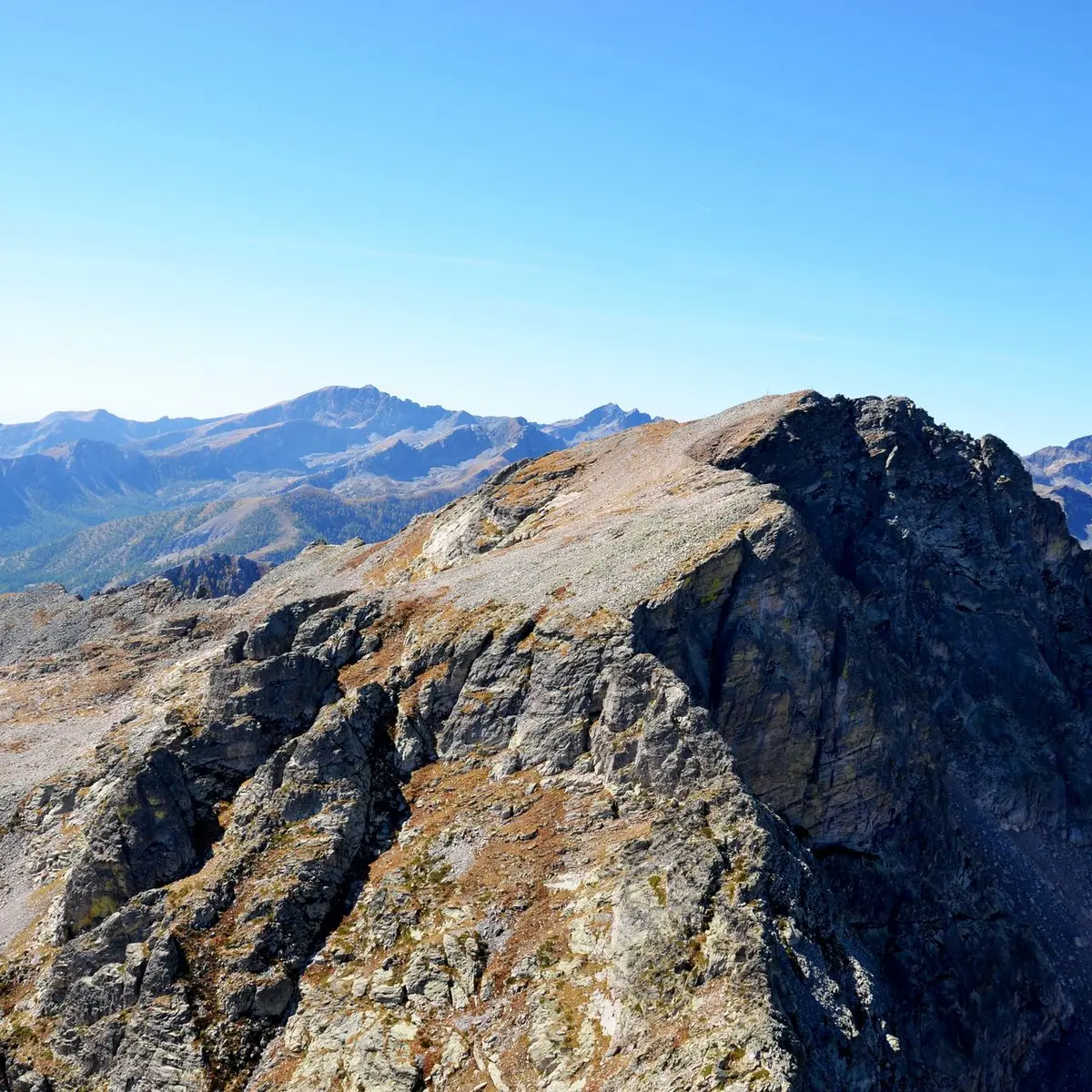
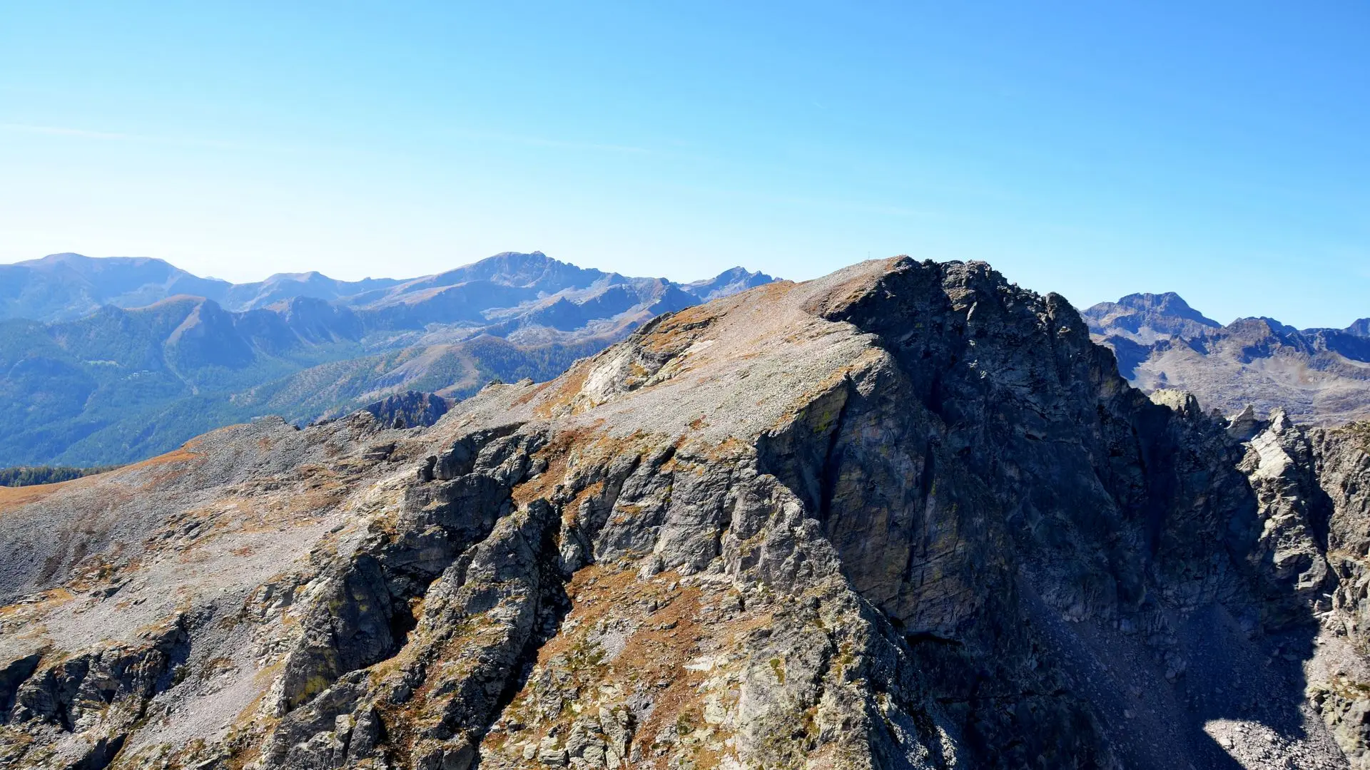
An emblematic sentinel summit of the Upper Roya, the Roche de l'Abisse occupies a privileged position on a promontory offering exceptional panoramic views of the Alpine arc.
Like a geography book, it offers hikers a breathtaking 360° panorama from the shores of the Mediterranean to the snow-capped peaks of Mont Viso, a giant of the southern Italian Alps at 3,841 meters, the Ecrins and Mont Rose (4,634 meters), the second highest peak in the Alps. Although the name suggests a vertiginous summit that's difficult to access, the itinerary proposed from Castérino takes advantage of the many difficulties of a rugged terrain to lead you through a variety of landscapes, from the mountain floor to the mineral world of the summit.
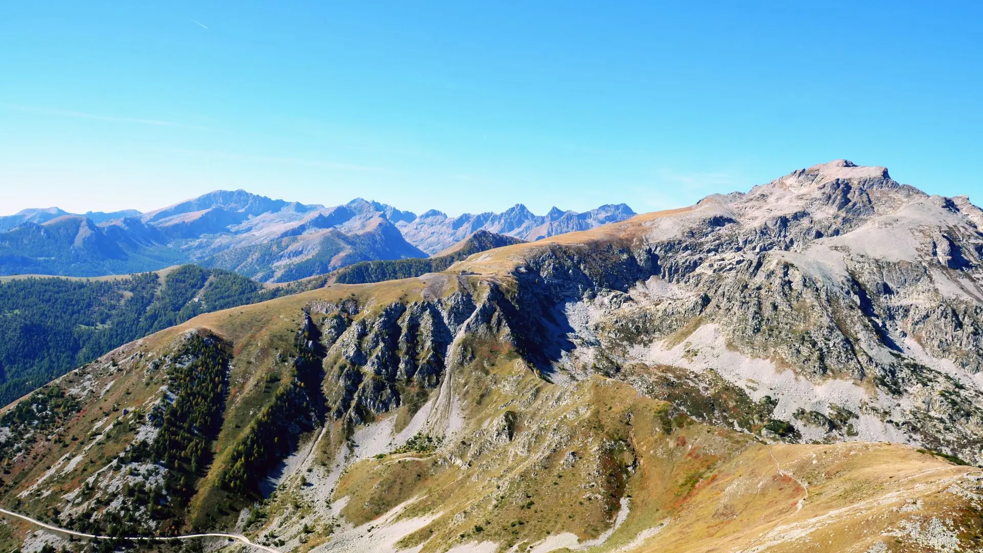
From Castérino's inns and hotels, descend 100 m onto the road (beacon [b.] 367); cross the Castérino valley and turn left (b.368) to climb the Peïrefique trail up into the melezin, to a junction of 4 trails (b.369). It's easy to reach the Peïrefique drop, a local toponym meaning "large, easily accessible flared pass" (2,050 m - b.370), then marker 371. Follow the path up to marker 372, the boundary of the Mercantour National Park. Quickly reach marker 377 and climb the ridge in wide laces (b.378); the path then turns northeast, where the slope becomes steeper and leads to an easily identifiable combe (2,120 m - b.379).
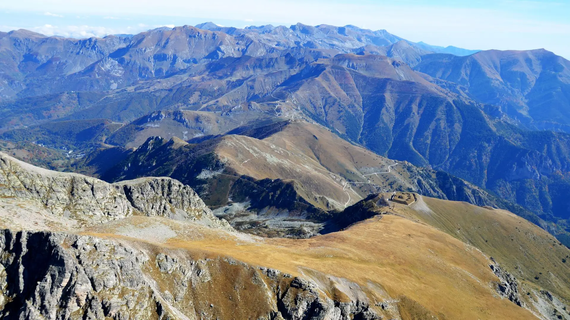
Change slope and continue climbing eastwards along a less obvious path through the boulders. Reach the Pra Giordan, a wide, bare ridge that surrounds the Fort de Giaure, a strategic military structure built by the Italians in 1860 (2,250 m - b.380). The route to the summit runs north-west and rises on the French side in a mineral environment, climbing without difficulty the last slopes leading to the summit cross (2,755 m).
Return by the same route.