A pathway through a harsh and romantic site which will provide fans of picturesque and unusual sights several viewpoints of one of the most curious geological areas in the Alpes-Maritimes region.
From the village, take the stony path for Les Tourrès, overlooking the Barlatte valley. At marker 198, head right into the Roumegier woods; the path descends rapidly in zigzags in the shade of the Scotch pines.
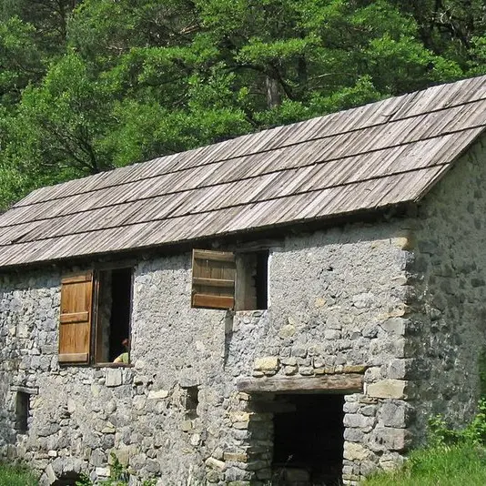
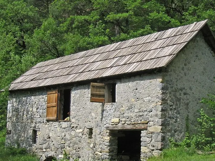
At marker 197, the path cuts across the channel which formerly supplied the village of Châteauneuf with water. Continue through a wood of deciduous trees and reach marker 196, above the mill.
The latter is nestled in the heart of a clearing, a calme and restful place to take a short break. Rejoin the path and follow directions for "Châteauneuf". The path includes shady zones and areas of marlstone which are fitted with a handrail.
The itinerary ends with a visit of the village of Châteauneuf.
A short variation is possible at marker 197: it allows you, by following the former canal path, to reach the remarkable Saucha Negra gorges where the Barlatte flows, providing water for the irrigation channel for the village and for the watermill.
Difficulté = Easy
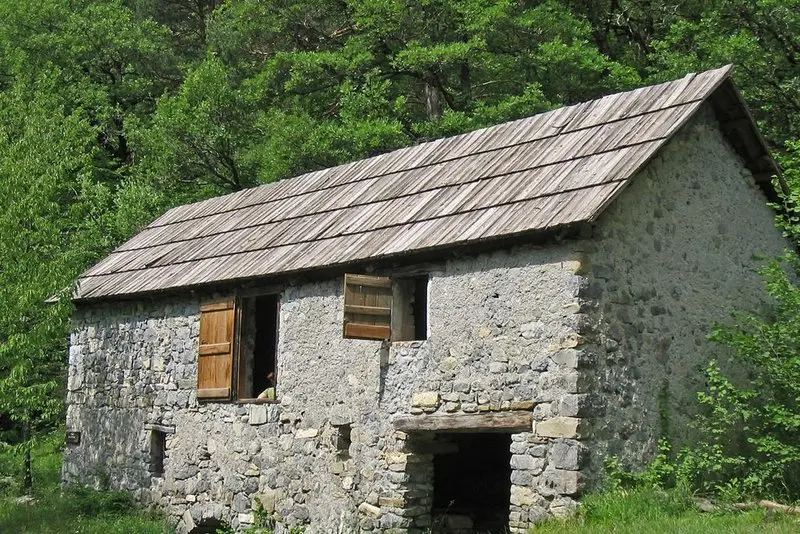
Location
Access
Access
- Departure : Entrance to the village, marker 191 .
Arrival : Entrance to the village, marker 191.
Châteauneuf d'Entraunes, 102km northwest of Nice via the M6202 then the D6202 to Entrevaux followed by the D2202 to Guillaumes and the D74.
Parking : Close to Saint Antoine chapel.
