
Location
Spoken languages
Spoken languages
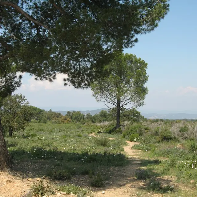
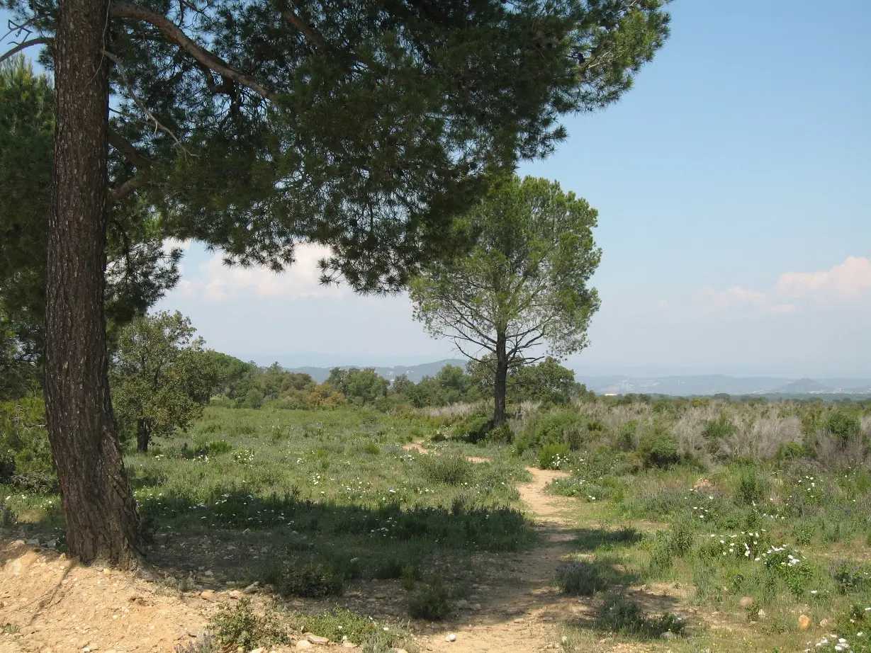
Environment
Environment
- In the country
Access
Access
- From La Garde-Freinet Tourisme, take the Chemin des Teilles, before the car park follow path 7. It runs along the valley and up to the RD558 at the place called l'Oratoire. Cross the RD with care (nice stone oratory on the left in the woods) and take the track opposite.
At the crossroads of 4 paths, take the one furthest to the right. After 200 m take the E96 Les Maximins track. At the next crossroads (400 m), take the track
the track that goes down to the left (1 km). When you reach the pumping station, follow the main road downhill (600 m) to a tarmac road, the Chemin des Plaines. Turn right and follow the road for 1.5 km, you will arrive on the RD 74. Follow it carefully to the right (departmental road) for 400 m.
After the bridge over the river, turn left, you arrive on 3 tracks, take the one in the middle: la Nible.
Follow this track staying on the left. At the tank (1 km) turn left, continue, at the crow's feet (500 m) turn right and take the Malatrache track which climbs to the Hameau de la Mourre (main track).
Leave the hamlet on the RD74 in the direction of La Garde-Freinet, go down the small road to the right at the old wash house (50 m). The path leads to a
tarmac road (400 m). Turn right towards Préverger. At the bottom of the valley, after the bridge, turn right and immediately left to
up towards Peygros (antenna).
At the crossroads of the 4 paths, go straight on the track that leads to Les Seignerolles (rando 4).
Turn right and follow the markings 4 over the road (RD75). Join the RD75, cross it and take the path that goes down opposite (chemin du Défend).
You will arrive back on the RD558 at the cemetery (on the left), follow the road for 100 m and go up the rue Saint-Jean opposite.
