


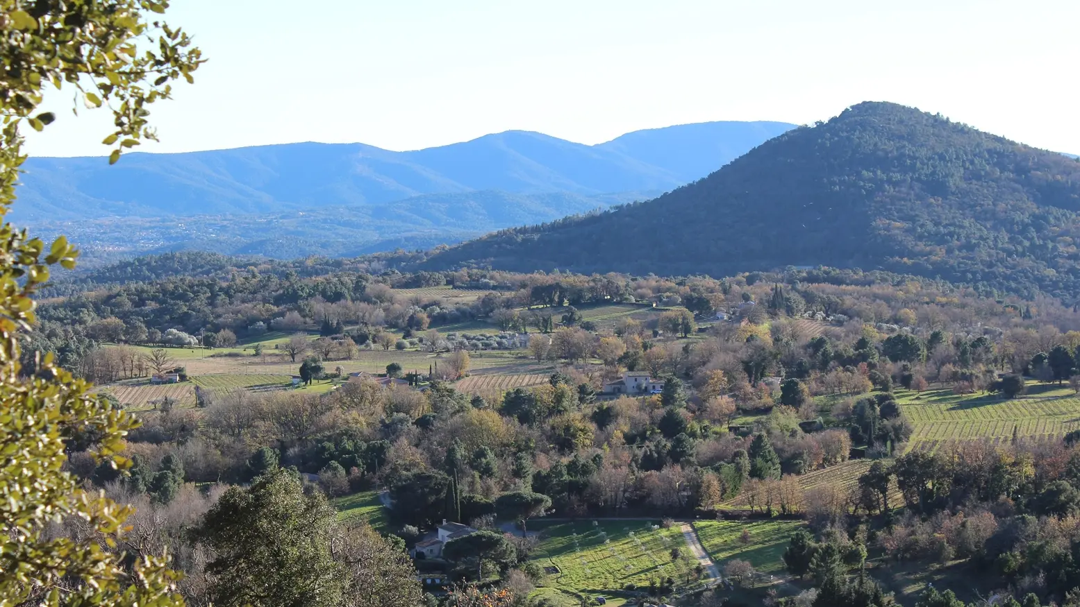
Nice walk for the whole family in the cool of the chestnut and cork oak trees.
Hike 2
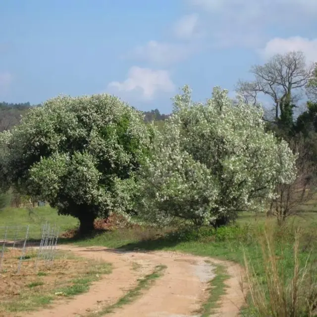
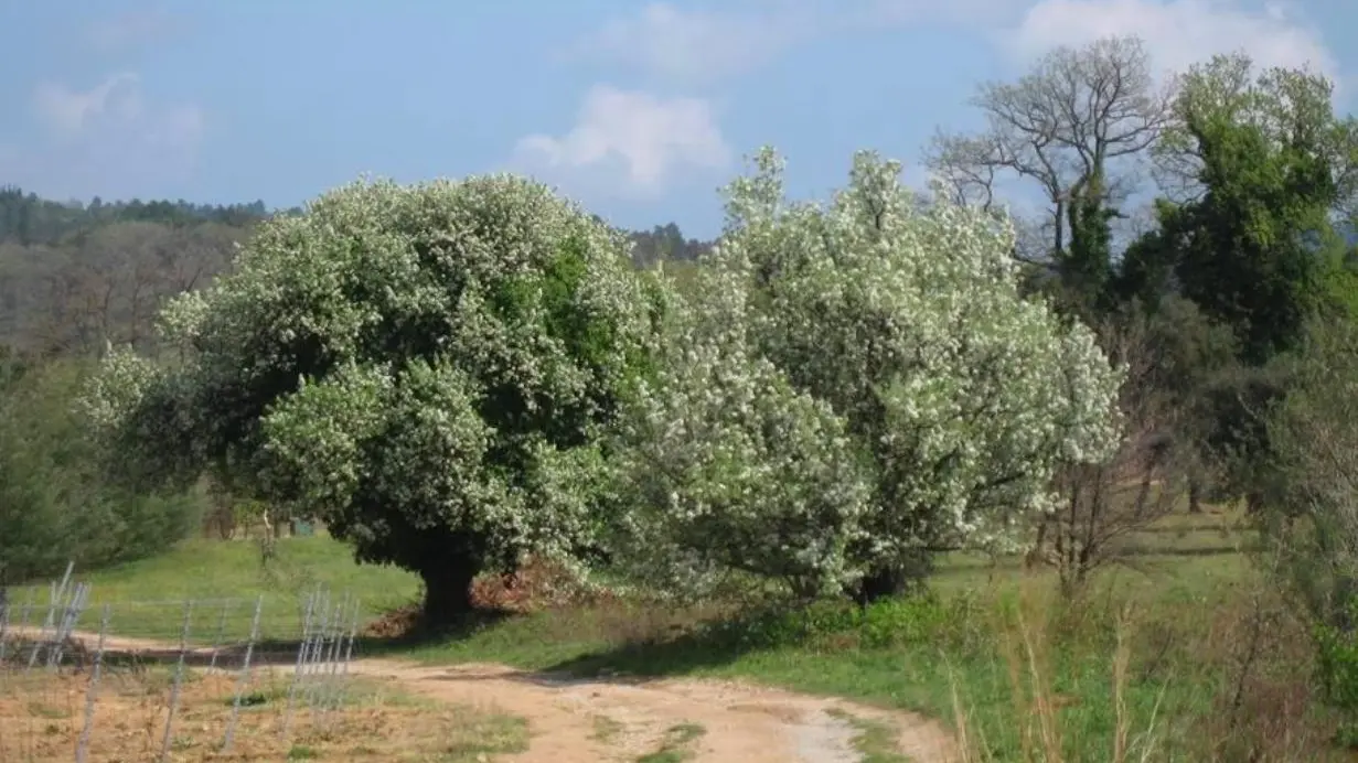
Nice walk for the whole family across the countryside, the vineyards and the fruit trees of St Clement, accessible to everybody and possible even with windy weather.
- TipsThe hike can be combined with hike 4 - Le Peygros
Services
Pets welcome
Rates
Free access.
—
Openings
All year 2026 - Open everyday
Subject to favorable weather
Location
Environment
Environment
- In the country
Access
Access
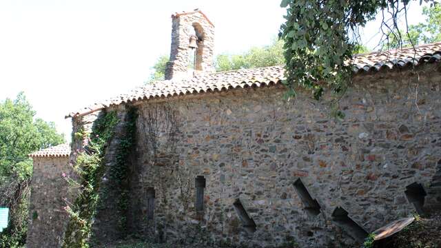
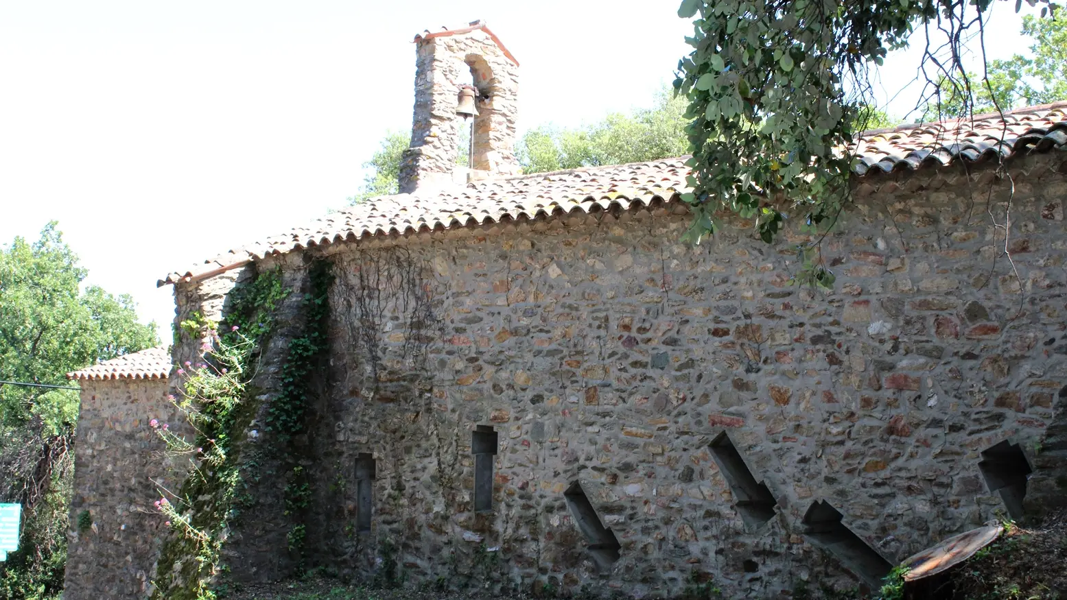
- From the Tourist Office, head towards the exit of the village in the direction of Grimaud, after the Chapelle St-Eloi take the small road on the left towards Saint Clément (behind the petrol station). Hike 2 is indicated by a green sign. After 400 m on the left, you will see the stele of St-Clément. Continue downhill for about 1 km until you reach the Chapelle St-Clément
(on the right). Follow the road to the left (towards Seignerolles). More
Continue straight ahead on the asphalt road that crosses chestnut groves and leads to the place called Les Seignerolles,
At the crossroads with the Plan de La Tour road (D75).
To join the Randonnée N°4 take the Chemin du Curnier which climbs up on the other side of the road. Otherwise, turn left and follow the markings N°4 which overhangs the road. Join the road, cross it and take the path
take the path that goes down opposite (chemin du Défend). You will arrive again on the RD 558, next to the cemetery. Cross the road and take the Rue Saint Jean opposite to return to the Tourist Office.