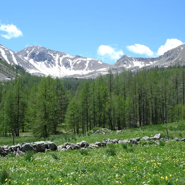
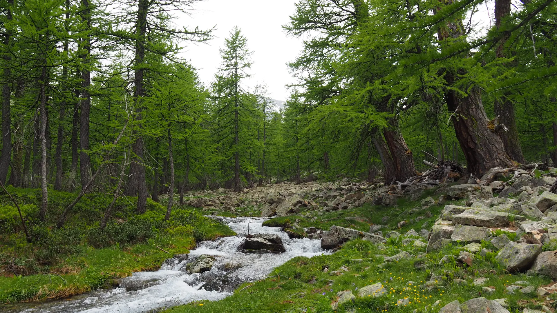
4 km from the village of Saint Dalmas up a small tarmac road that winds through the forest to the Col de la Moutière.
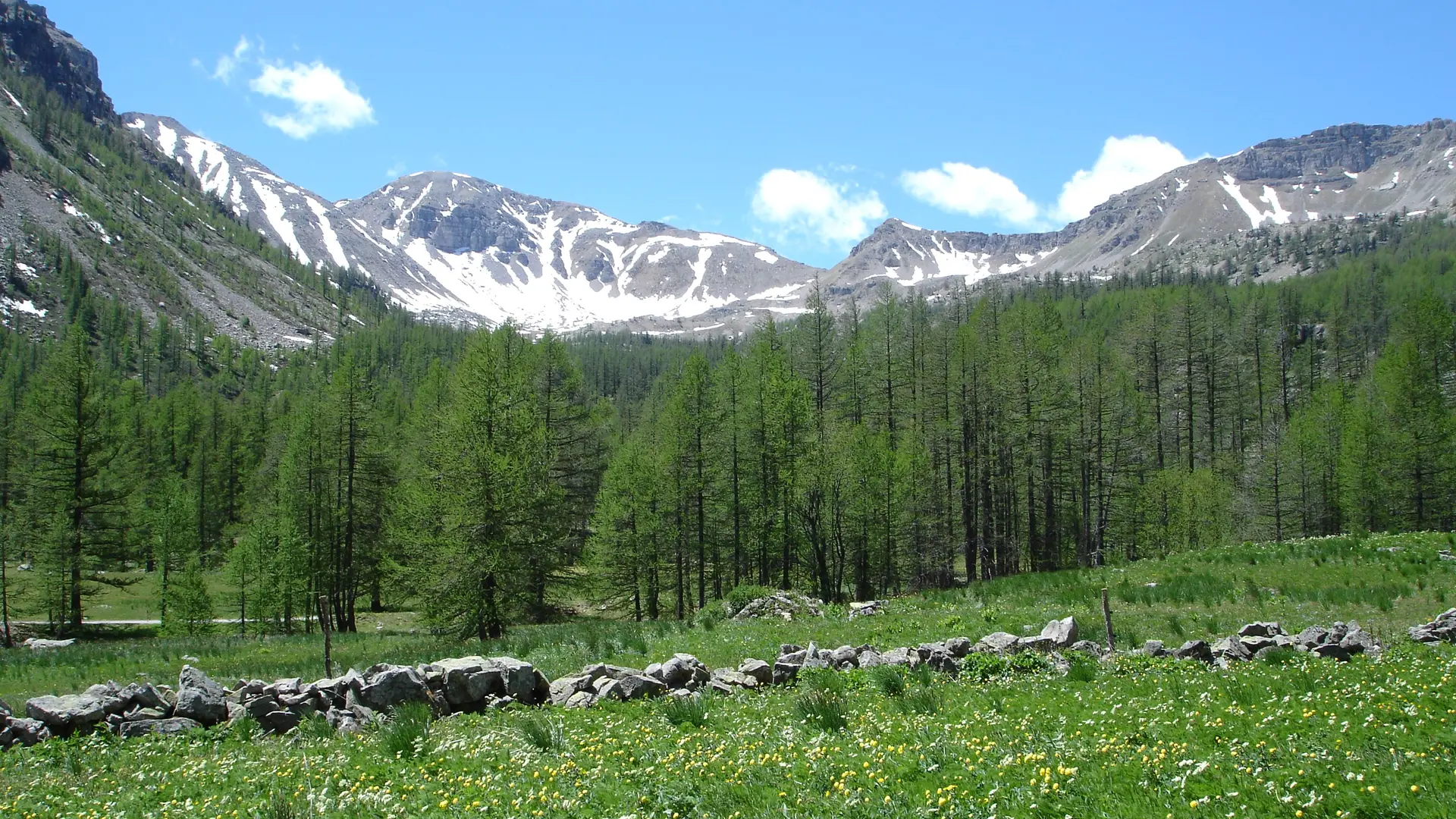
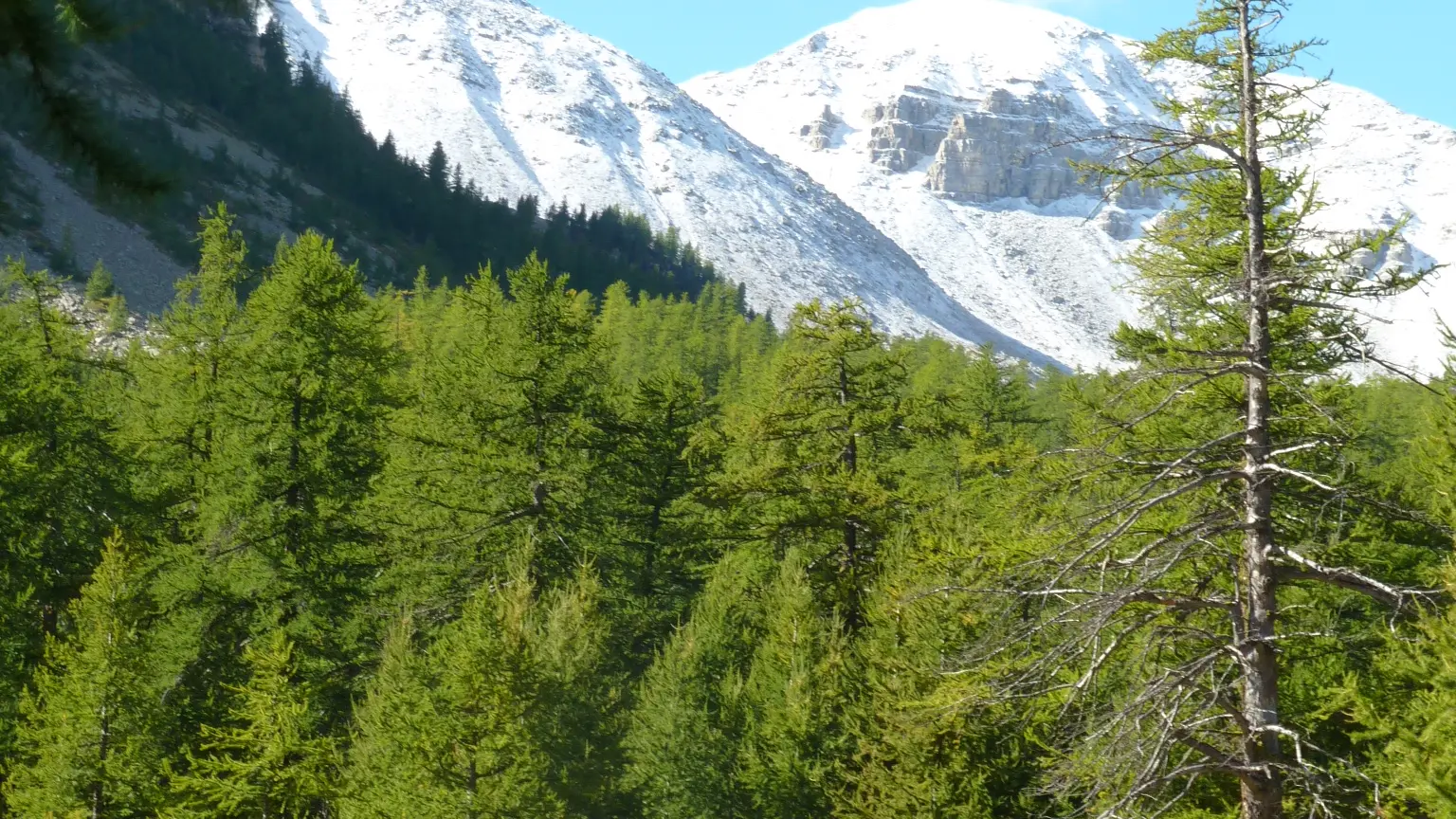
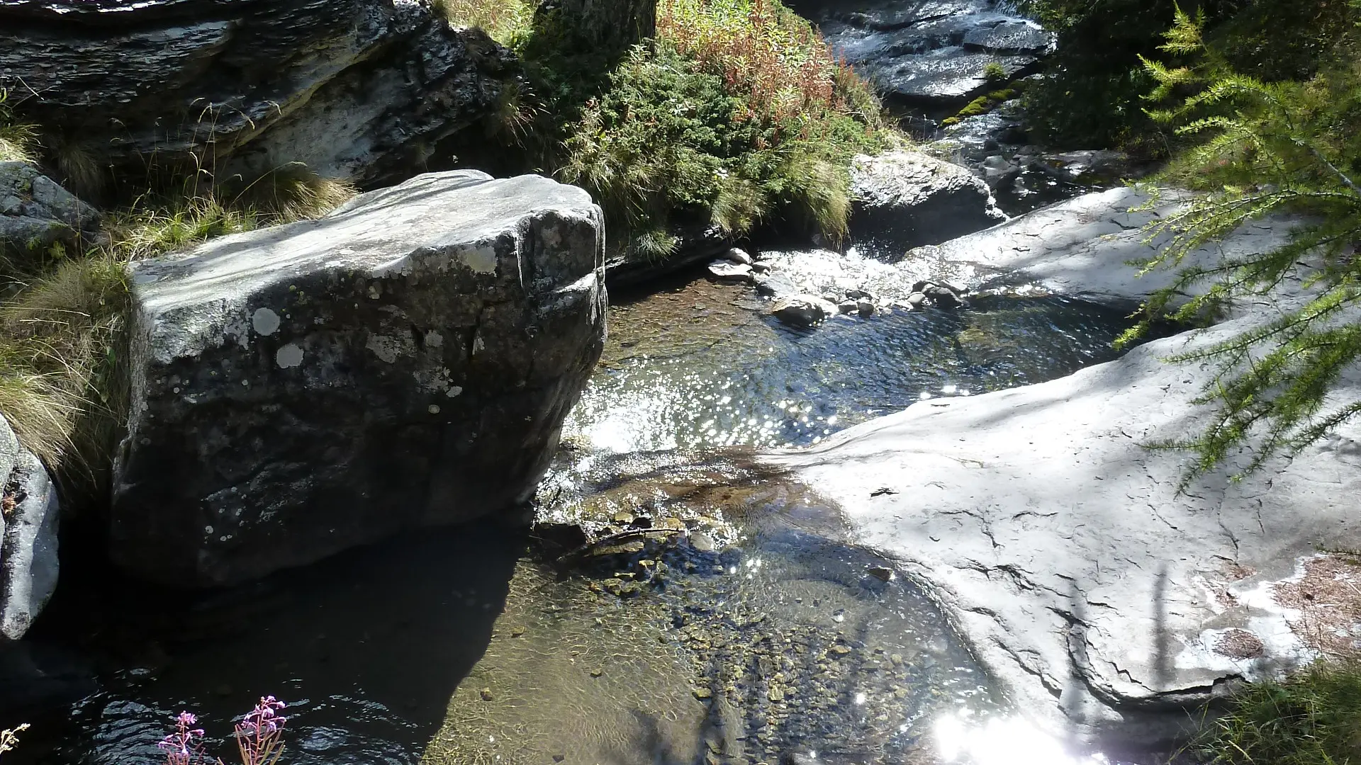
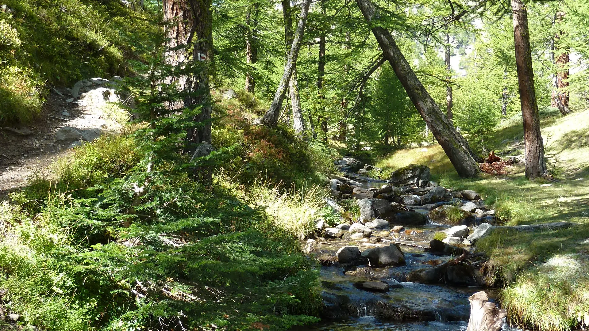
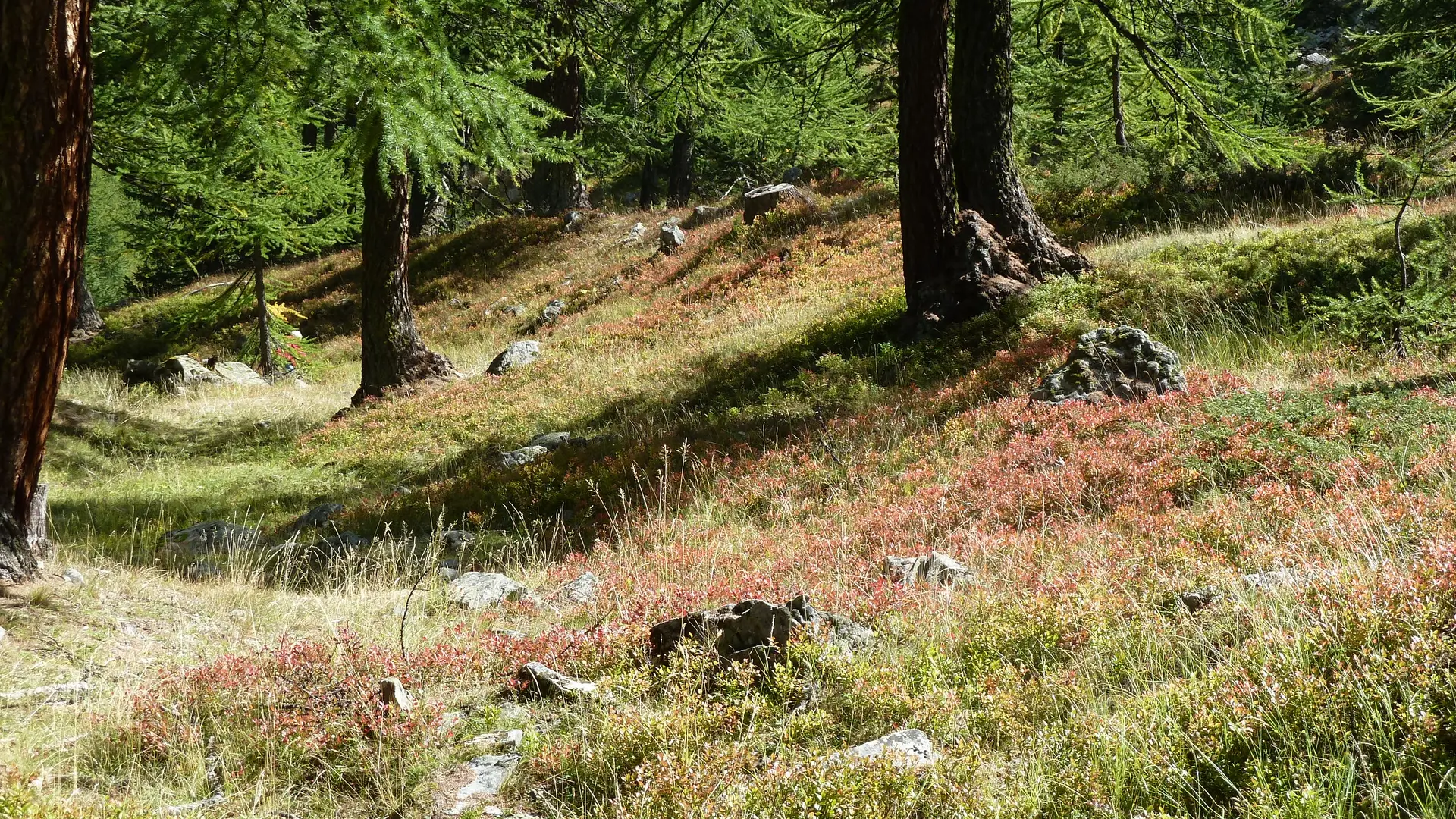
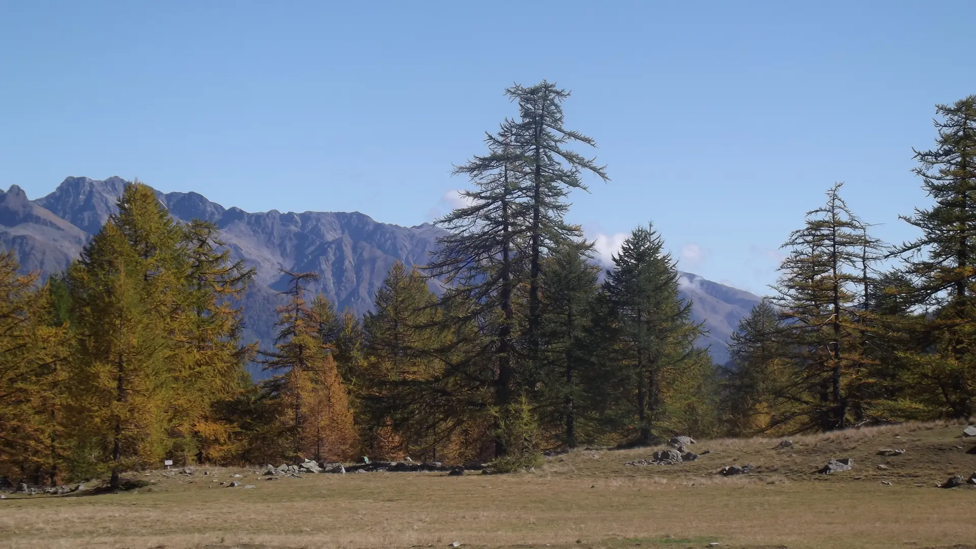
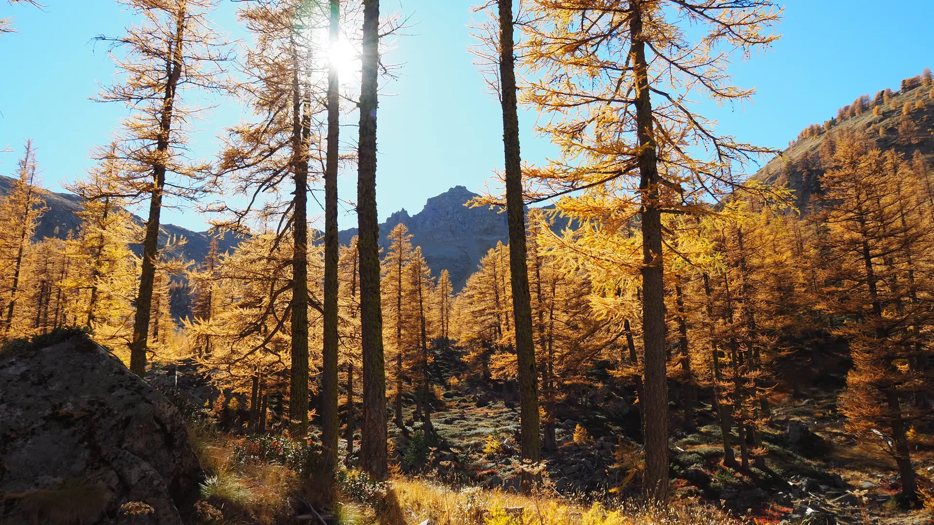
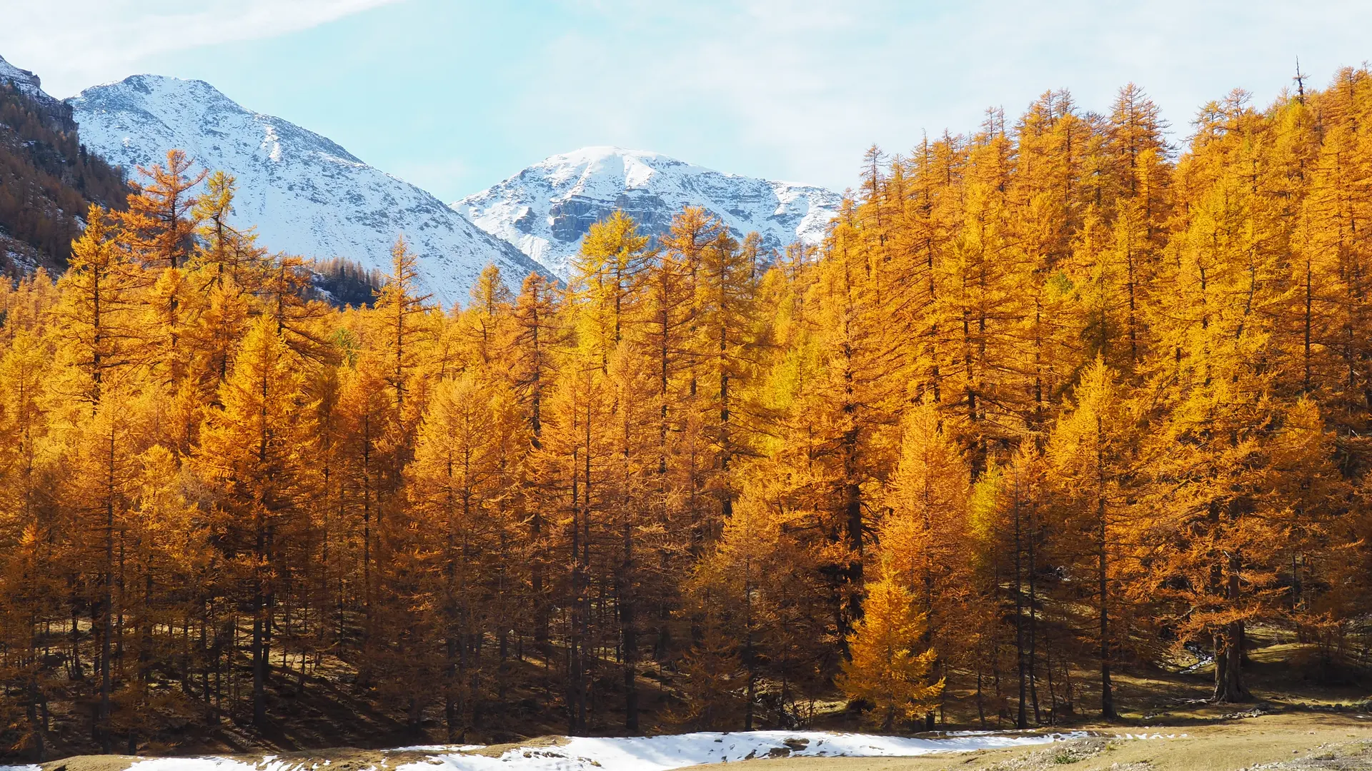
This plateau is full of cool streams and springs in the undergrowth. Situated in the Mercantour Park, it's an ideal spot for a picnic or a stroll at the foot of the centuries-old larch trees. You can hike up to the Col de la Braïssa, a 1-hour walk to the shepherd's hut, or up to the pass at 2599 m.
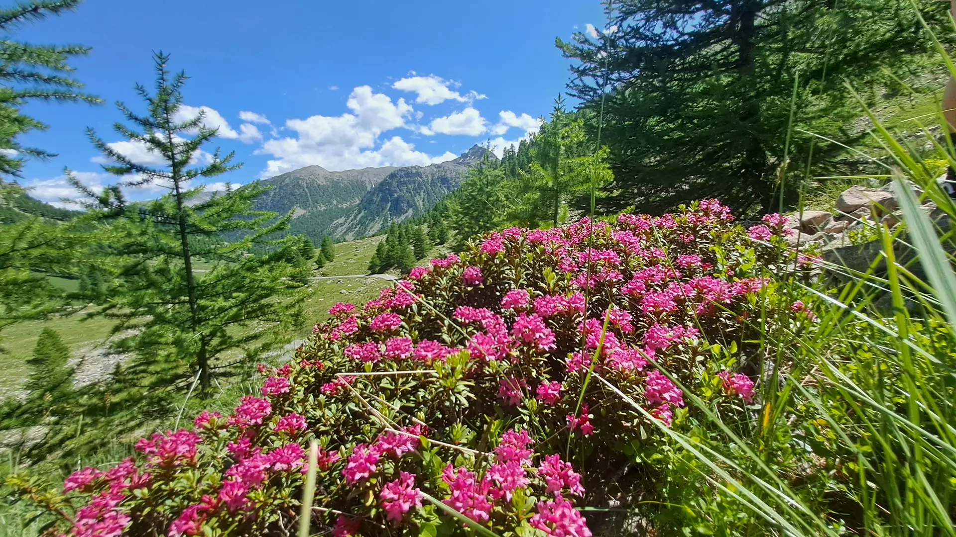
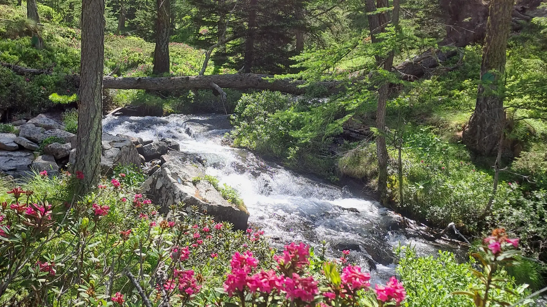
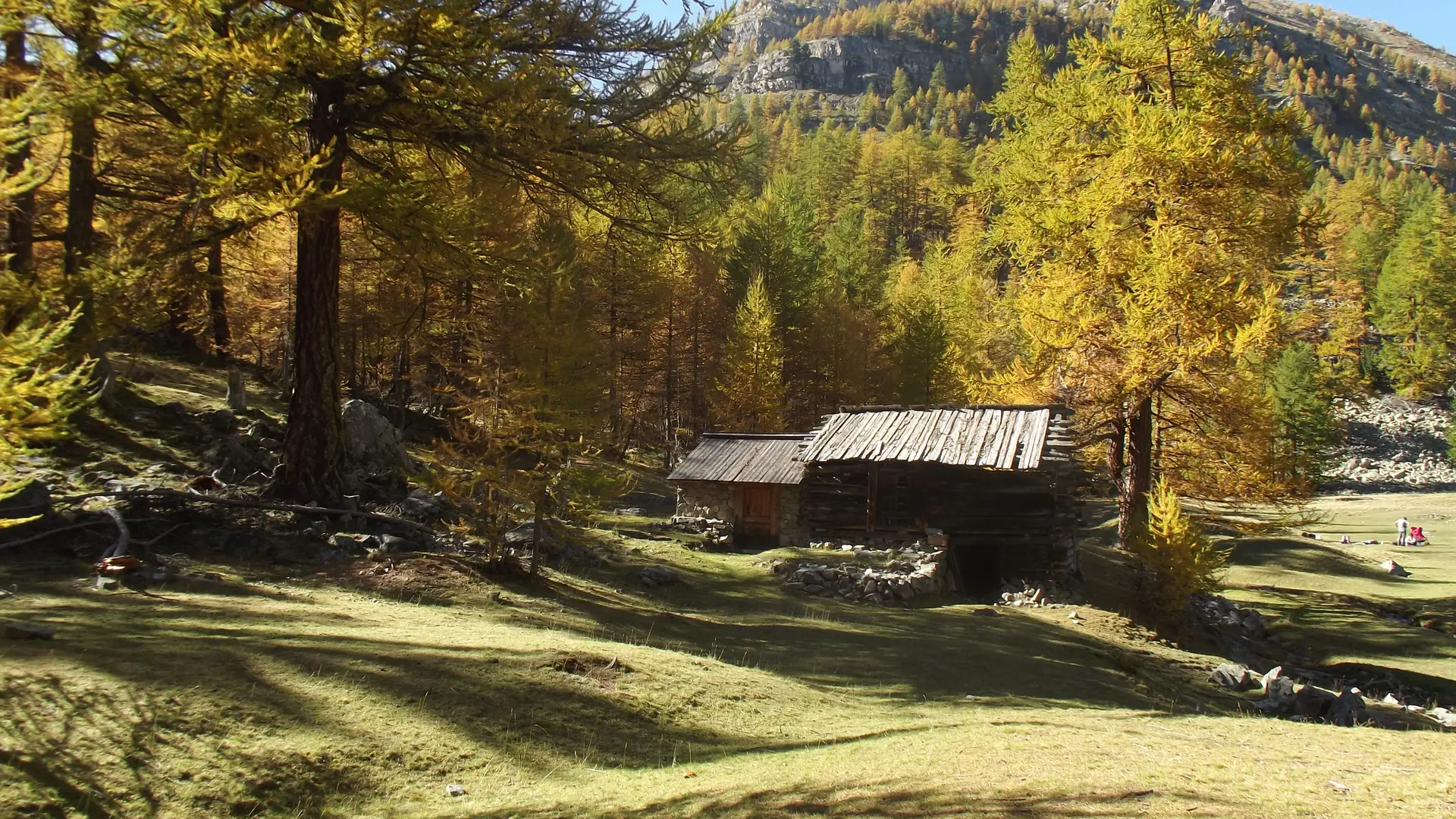
To reach the Braissa shepherd's hut, start from the entrance to the plateau of the bridge spanning the torrent at marker 57. You will wind through the forest between larches and blueberry bushes, along the torrent to marker 58.
The shepherd's hut is at 2,180 meters at the entrance to the Braisse mountain pasture.
The bravest can climb to the pass at 2,599 meters.
In summer, you will have the pleasure of admiring the mischievous marmots.
Read more