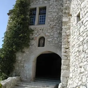

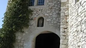

South gate of the village , the “New gate” leads to the 15th century first rampart, the old “chemin de ronde”.
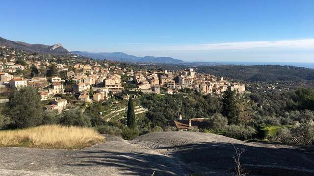
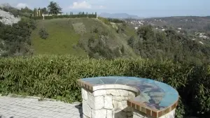
A ceramic orientation map offers an incomparable view over the French Riviera. And old roman way that used to go from Tourrettes to Antibes goes from this orientation map. It passes under the viaduct partially destroyed by the Germans in 1944 and finishes at a former station of the Provence Railways on the Nice-Draguignan line.
Newly restored icons representing Saints Mark and Michael can be seen on the oratory.
Rates
Free access.
—