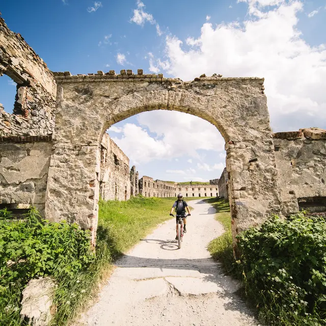
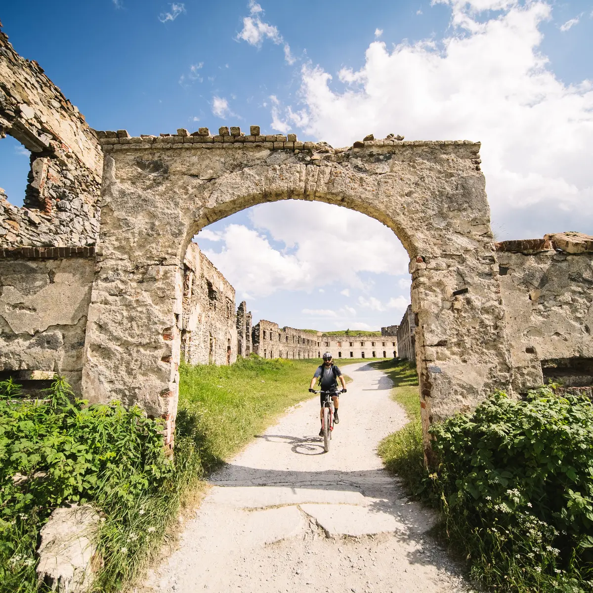
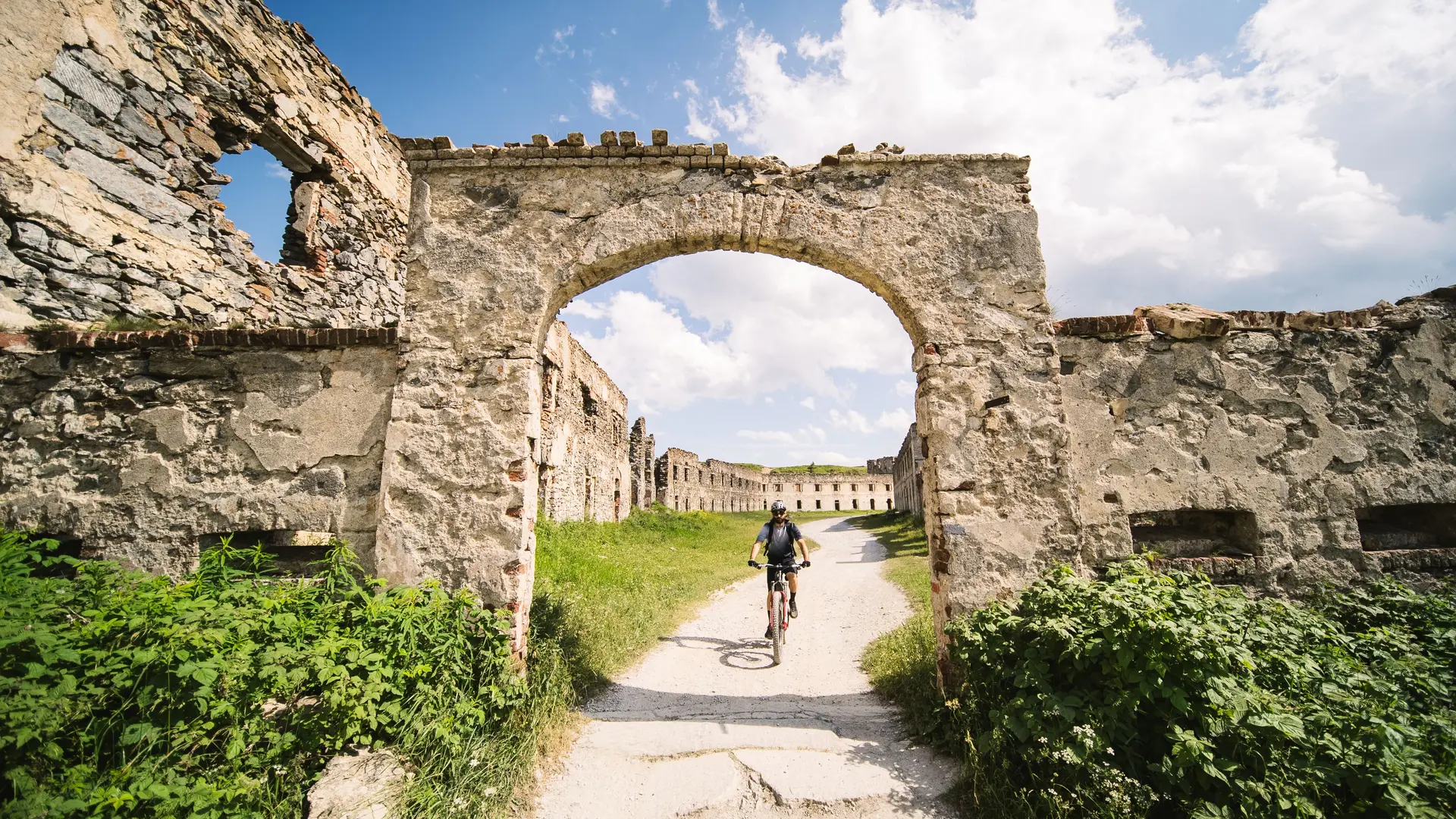
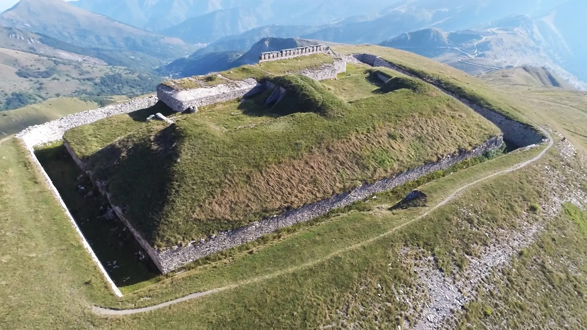
The route takes in high-altitude trails whose profile lends itself to mountain biking: the crossing is one of the most beautiful on the Upper Roya. The route passes through places steeped in history, such as the Col de Tende and its fortifications.
Itinerary:
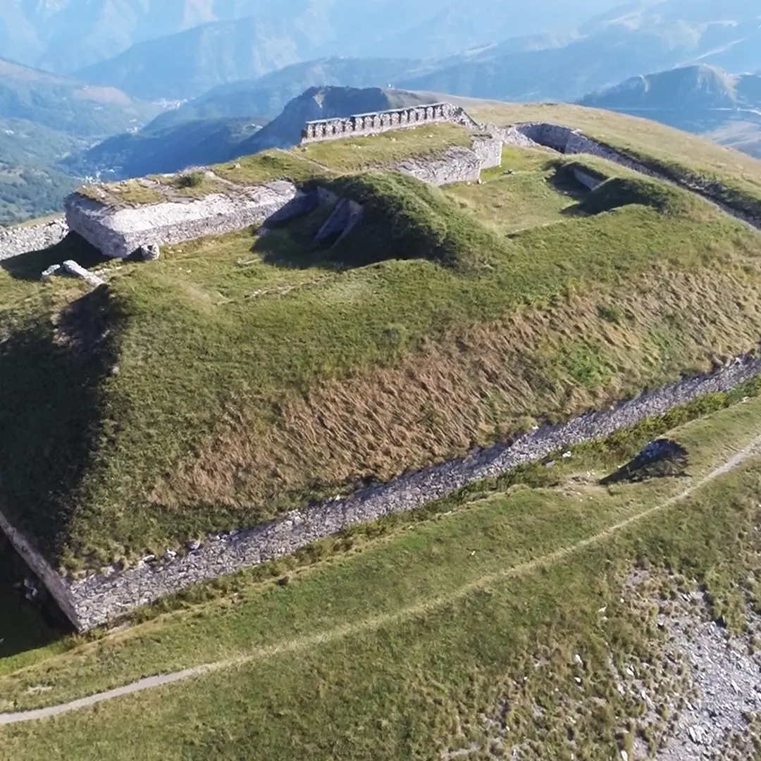
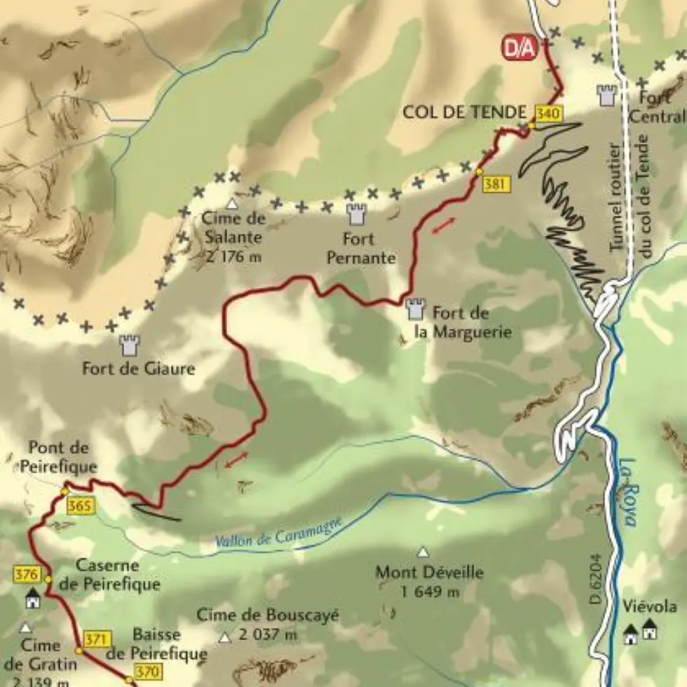
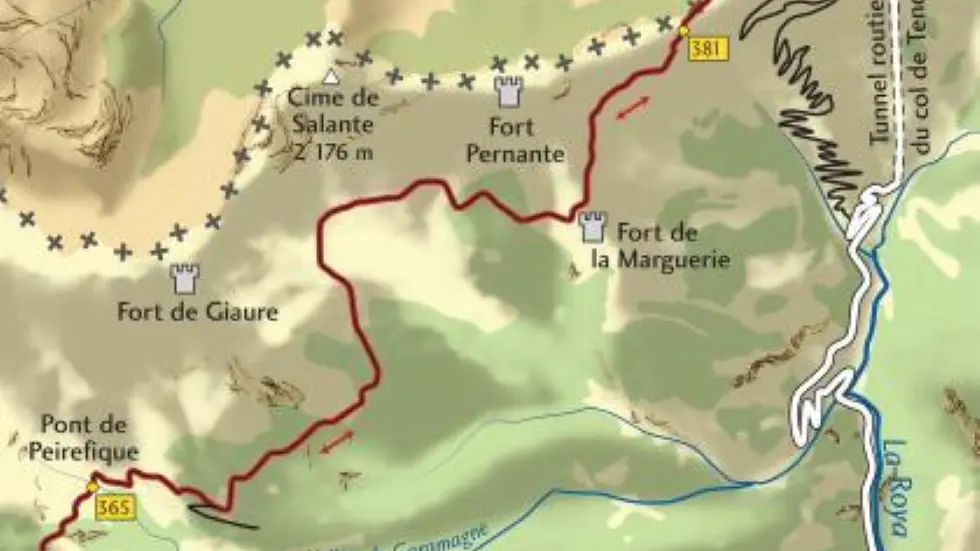
From the Col de Tende géographique (1,871 m - b.340), follow the track west to the Marguerie fort (1,860 m) and continue along a long flanking track that leads to the Peïrefique bridge (1,916 m - b.365).
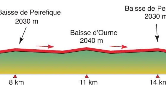
The trail then rises to pass under the Peïrefique barracks (1,974 m - b.376) before reaching the Peïrefique drop (2,030 m - b.370) via marker 371.
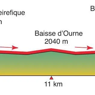
Continue south to marker 369 and continue straight ahead on the balcony track which crosses the slope to the Baisse d'Ourne (2,040 m - b.356). Return by the same route.
Alternative:
Descend directly to Tende from the Baisse d'Ourne on the very long military trail known as the "Speggi", which offers some 1,200 m of negative vertical drop (b. 353, 344, 343, 342, 65).
While the upper section, with its antiquated pavement, requires good steering skills, the lower section after the stage lodge is on asphalt.
From the Col de Tende géographique (1,871 m - b.340), follow the track west to the Marguerie fort (1,860 m) and continue along a long flanking track that leads to the Peïrefique bridge (1,916 m - b.365).
The trail then rises to pass under the Peïrefique barracks (1,974 m - b.376) before reaching the Peïrefique drop (2,030 m - b.370) via marker 371.
Continue south to marker 369 and continue straight ahead on the balcony track which crosses the slope to the Baisse d'Ourne (2,040 m - b.356). Return by the same route.
Alternative:
Descend directly to Tende from the Baisse d'Ourne on the very long military trail known as the "Speggi", which offers some 1,200 m of negative vertical drop (b. 353, 344, 343, 342, 65).
While the upper section, with its antiquated pavement, requires good steering skills, the lower section after the stage lodge is on asphalt.
Openings
All year 2026 - Open everyday
Subject to favorable weather
Subject to snow conditions
Location
Spoken languages
Spoken languages
Environment
Environment
- Mountain location
- River 5 km away
- Panoramic view
