


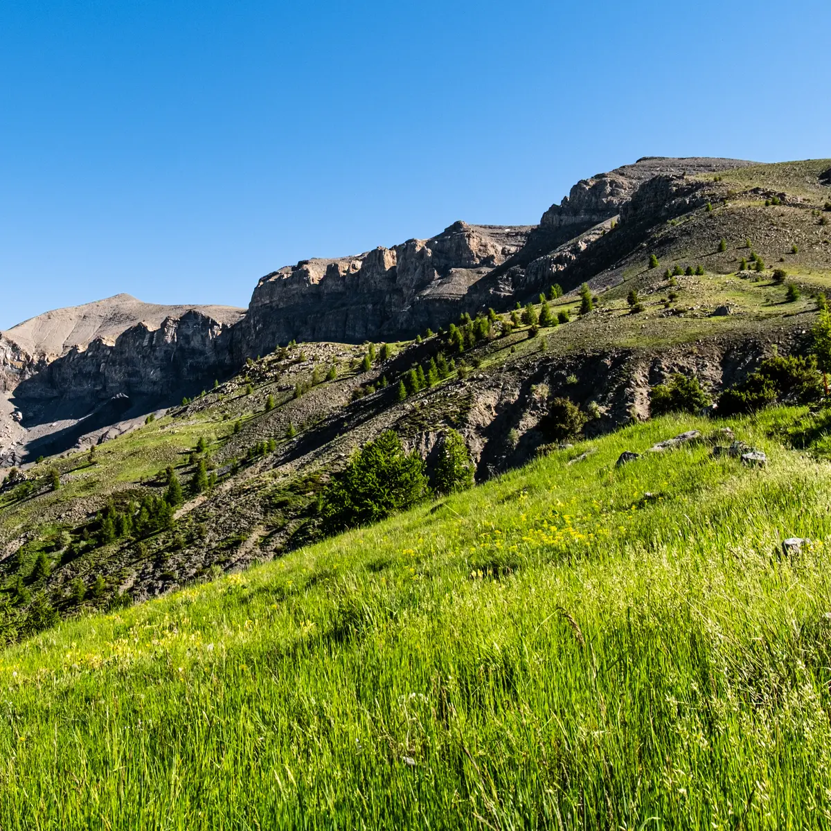
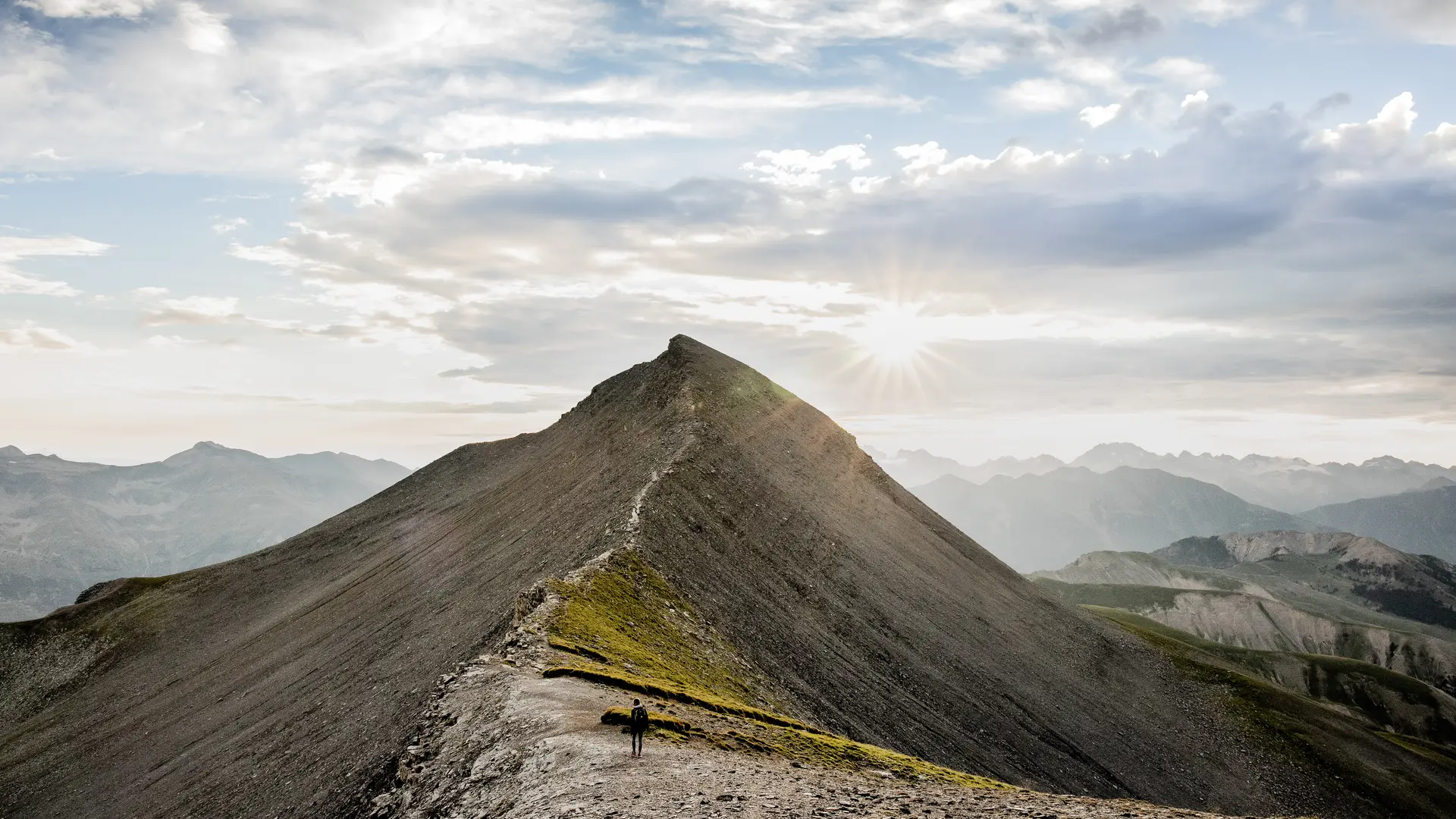
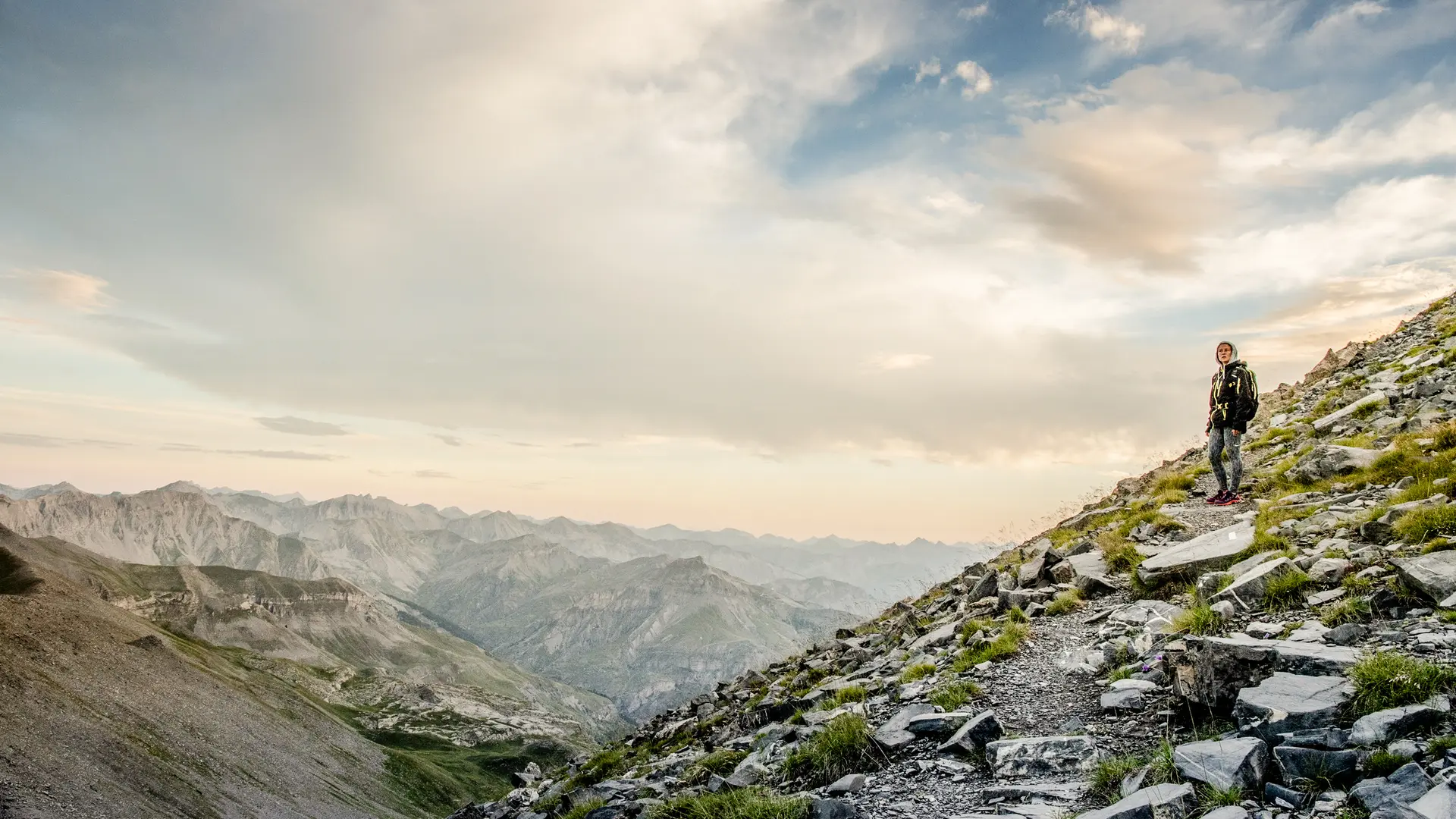
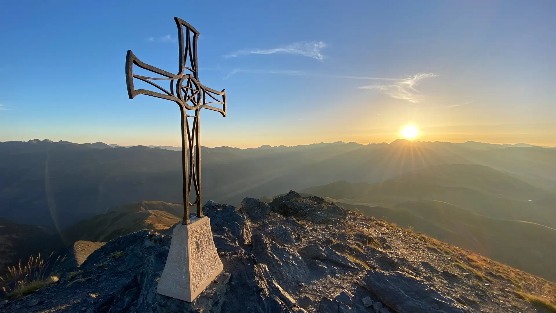
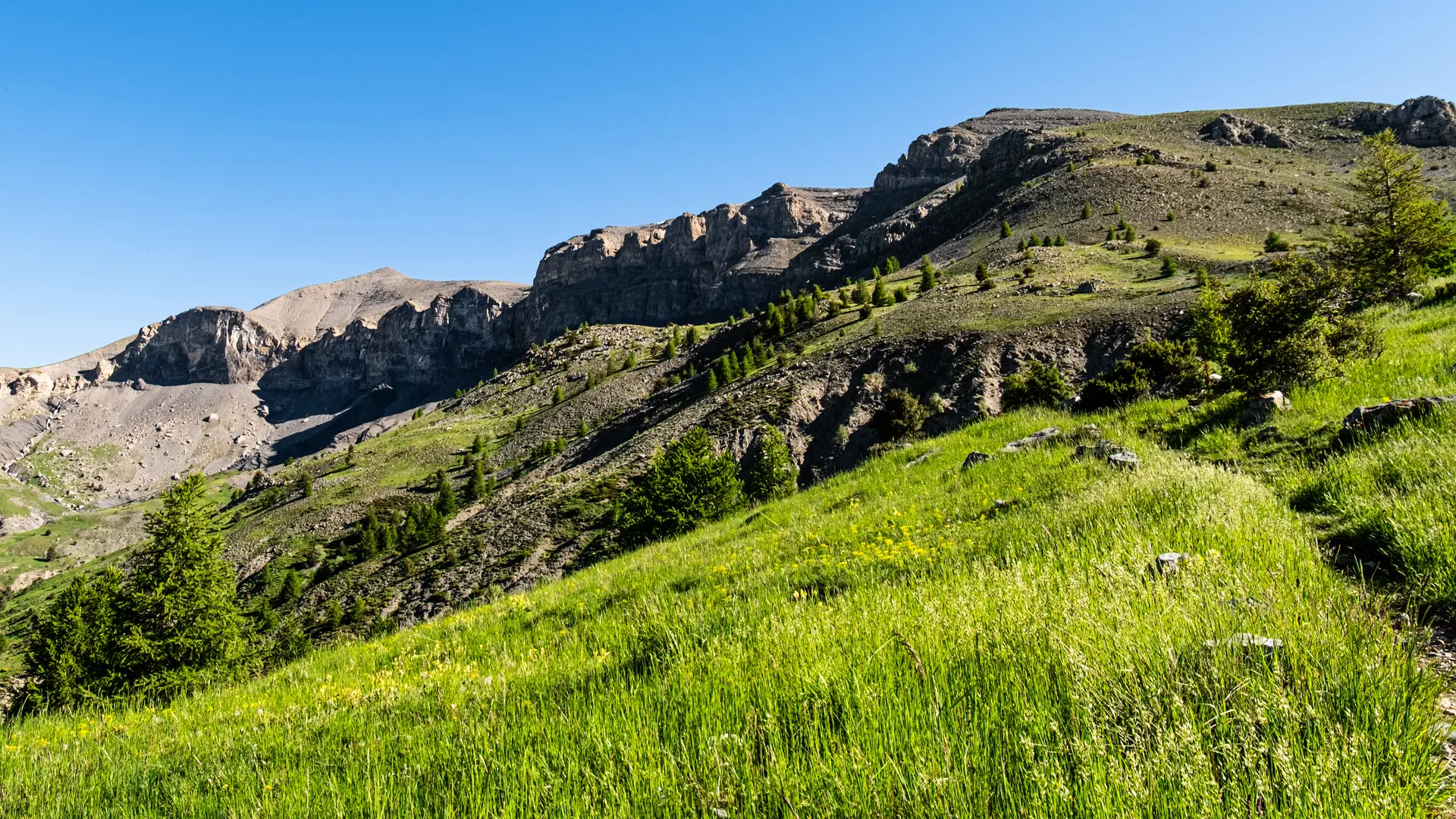
Encircled by high bars of tithonic limestone, with typical and recognisable facies, Mont Mounier imposes its massive presence as the undisputed master of this majestic landscape.In 1873, a team of researchers set off on its slopes to investigate the possibility of building a small observatory, which eventually saw the light of day in 1893 thanks to Mr. Bischoffsheim, and some ruins still remain on the Petit Mounier. The highest calcium peak of the Alpes-Maritimes, Le Mounier is surely one of the lookouts in the southern Alps. It is also a paradise for botanists, with exceptional flora which should be admired and not picked!Previously called “Mons Niger”, undoubtedly due to the black-ish colour of the rock (like its neighbour, the Cime Nègre), Le Mounier, now a bare and arid summit, was once wooded, as is attested to be ancient texts referring to numerous tree stumps studding its flanks.
