This section presents few difficulties, and the use of a rope is not essential.
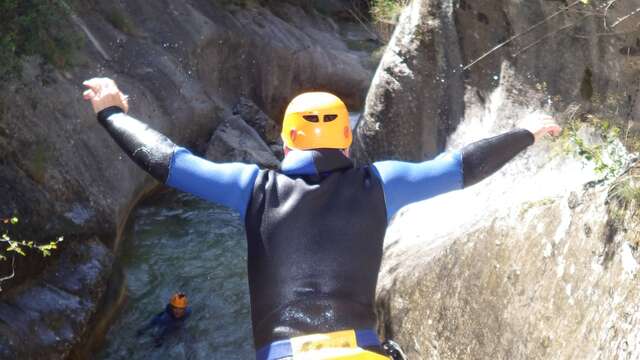
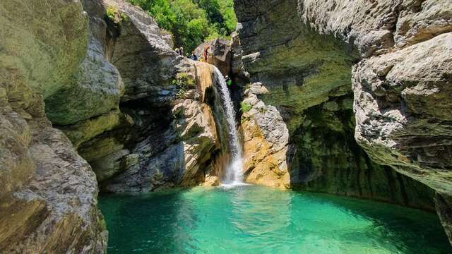
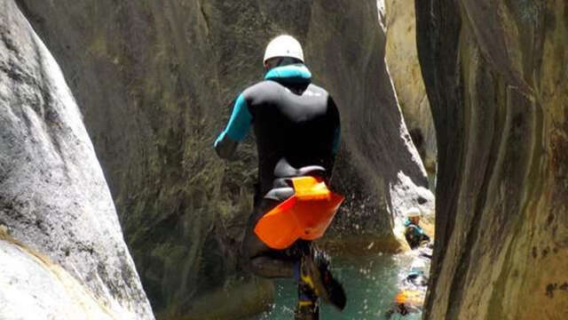
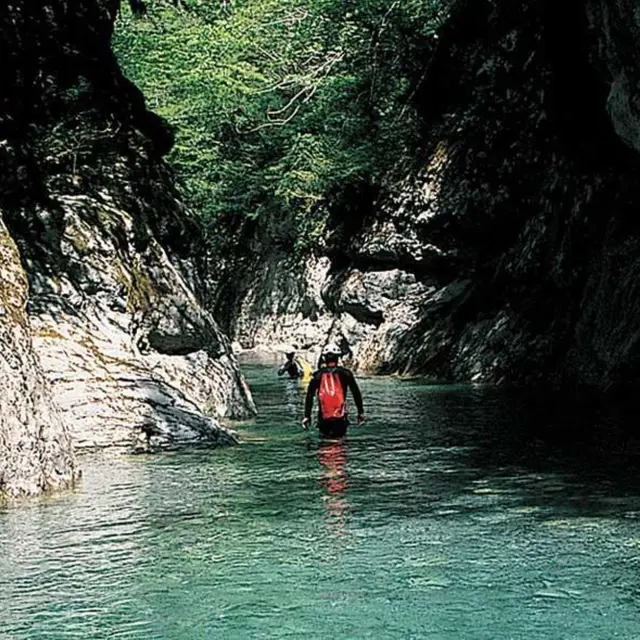
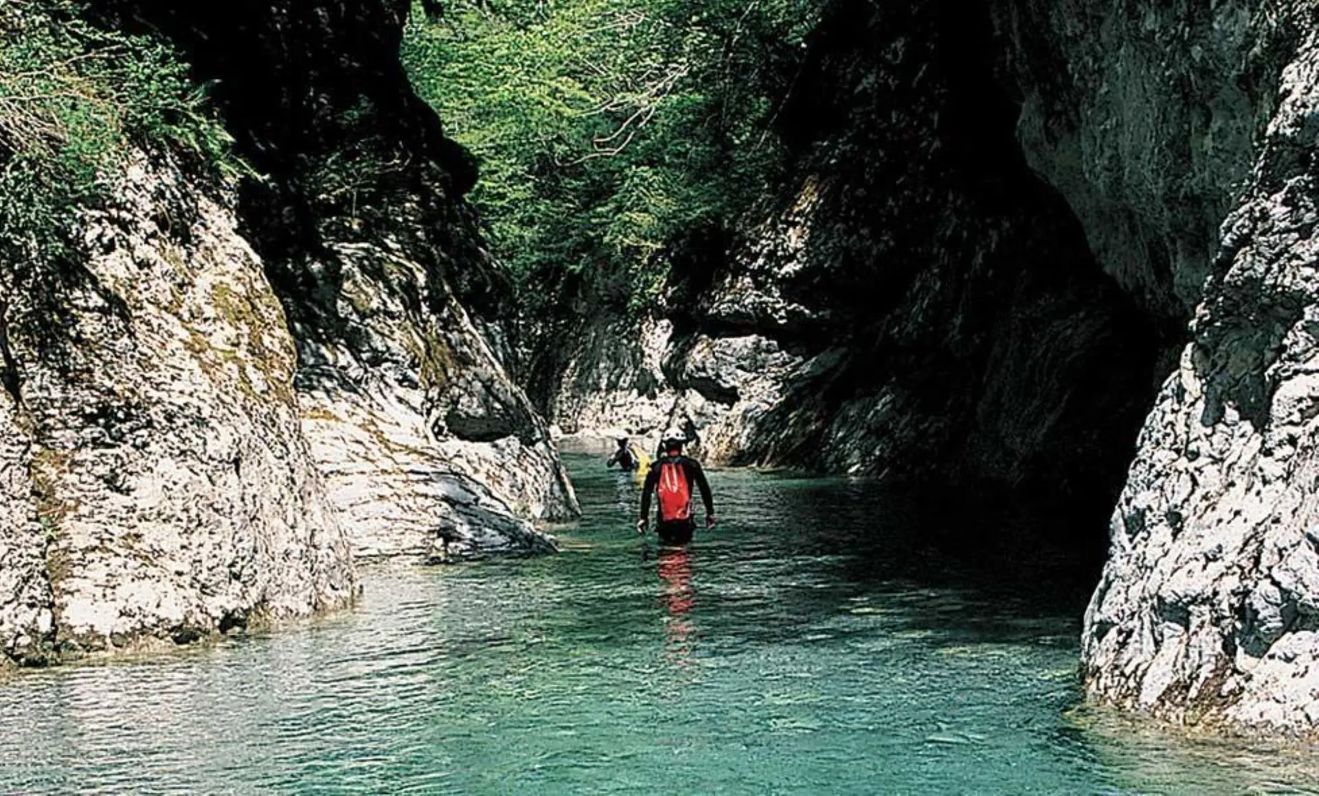
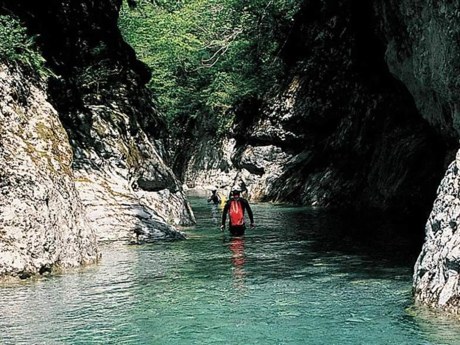
The gorges are full of long swims in an impressive wilderness environment where the steep walls leave no room for escape.
Level of difficulty: Rating .3.III
Vertical: Easy
Aquatic character: Not very difficult
Approach and Wingspan: III
Useful equipment: Personal equipment, Group equipment, 1 x 20m rope (handrail)
Type of rock: Limestone
Water flow (low water): 60 l/s
Water temperature: 16° to 17° C
Catchment area: 28 km2
Maximum waterfall: 3 m
Flood risk: 3/5
Shuttle vehicles: None
Access on foot: 3 hours
From marker 161 (480 m), at the junction with the RD 138 under the chapel of Madone del Poggio, on the bend, follow the track closed to traffic which leads to the hamlet of Castou (b.168) and the Bendola valley. Cross over a beautiful stone bridge (Pont de Castou) and follow the Bendola upstream along an ancient path on the left bank (b.167).
After a climb, a flank crossing leads to marker 166.
Descend to cross the Madonina valley, climb up along an old field and, after a steep, winding descent, reach the Baragne footbridge spanning the Bendola valley (520 m).
Descent of the canyon: 3 hours
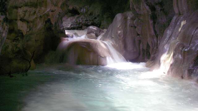
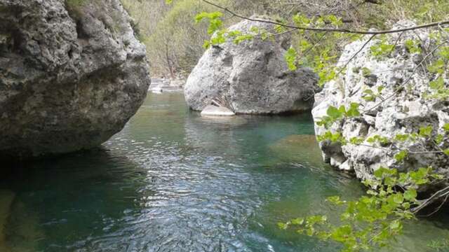
From the footbridge, climb down into the Bendola and follow the valley, which quickly becomes steep and offers an uninterrupted succession of swimming sections. Some spectacular narrow passages and beautiful tufa waterfalls on the banks punctuate the descent, which ends at the Castou bridge used on the outward journey (428 m). Please note that it is forbidden to descend the Bendola between the Castou bridge and the RD 6204.
Return on foot: 1 hour
Return to your vehicle via the track used on the outward journey.
Location
Spoken languages
Spoken languages
Environment
Environment
- Mountain location