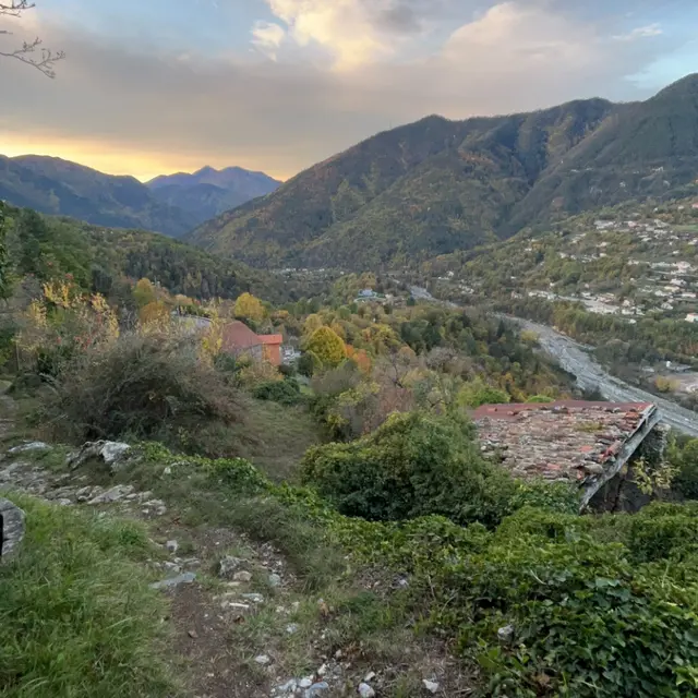
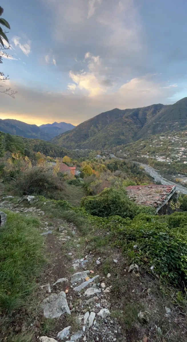
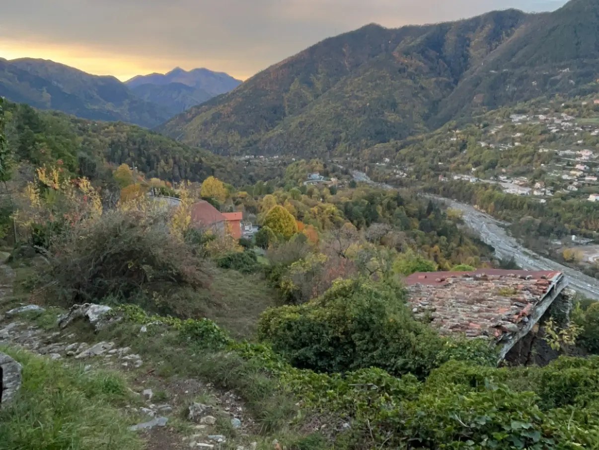
This route leads to the nearest village, although the main town is now on the right bank of the Vésubie.
From the town hall, cross the Place des Tilleuls and the start of the Avenue des Platanes, and turn left down a flight of steps onto a sharp bend (b.86). Take a small path that joins and crosses a bend in the M71 road, before a second bend (b.85) on the way back. The path (north) descends to a new bend in the road (b.84), follow this road for about 250m, before leaving it for a shortcut. Cross the M71 twice, and finally emerge on the M2565 (b81) almost opposite the bridge over the Vésubie. Make a short round trip downhill for a hundred metres or so to turn right (b. 82) onto the path that crosses the Vésubie via the old bridge with its large arches. It is worth visiting the church of St Michel de Gast, situated in the bed of the Vésubie, which is one of the rare examples of late Gothic architecture in the Alpes-Maritimes (rf: les Carnets de l'AMONT n°1). Since its creation, the village has been rebuilt more than six times, having suffered numerous natural disasters, including floods, earthquakes and a tragic landslide, before finally settling on the right bank of the Vésubie.
Descend to marker 83, staying on the pavement of the M.2565 before skirting the area of the dramatic landslide of 1926 that devastated the village of Roquebillière by eight metres. A good path heading south keeps slightly above the M.2565, passing by the ruined chapel of St Roch. Follow a service track past a house and, less than 400 metres further on, leave it for a path that branches off to the left. It is worth taking the short one-kilometre round trip to visit the little chapel of St Julien. This building, which underwent a number of alterations between the 15th and 18th centuries, has a lovely fresco by Jean Massa (rf: Pays Vésubien). In the past, children's wounds were washed with holy water from St Julien, the patron saint of the village. This path skirts a hairpin bend in the M71 (645m) and rises towards the Preinas district, before a second hairpin bend (718m), from where it climbs quickly to marker 85. From this point, follow the same route back to the village.
Descend to marker 83, staying on the pavement of the M.2565 before skirting the area of the dramatic landslide of 1926 that devastated the village of Roquebillière by eight metres. A good path heading south keeps slightly above the M.2565, passing by the ruined chapel of St Roch. Follow a service track past a house and, less than 400 metres further on, leave it for a path that branches off to the left. It is worth taking the short one-kilometre round trip to visit the little chapel of St Julien. This building, which underwent a number of alterations between the 15th and 18th centuries, has a lovely fresco by Jean Massa (rf: Pays Vésubien). In the past, children's wounds were washed with holy water from St Julien, the patron saint of the village. This path skirts a hairpin bend in the M71 (645m) and rises towards the Preinas district, before a second hairpin bend (718m), from where it climbs quickly to marker 85. From this point, follow the same route back to the village.
Rates
Free access.
—
Openings
All year 2026 - Open everyday
Location
Spoken languages
Spoken languages
