Circuit starts from the parking lot of the La Maunière shooting range (if starting from the Velodrome parking lot, allow for a 1.6 km link).
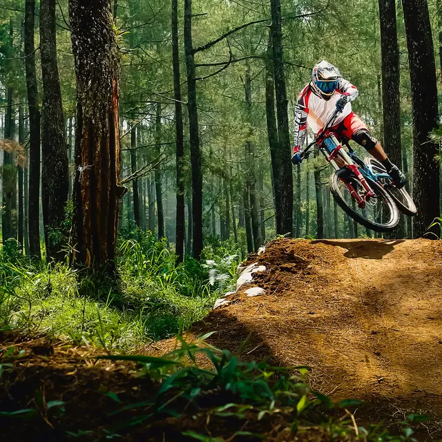
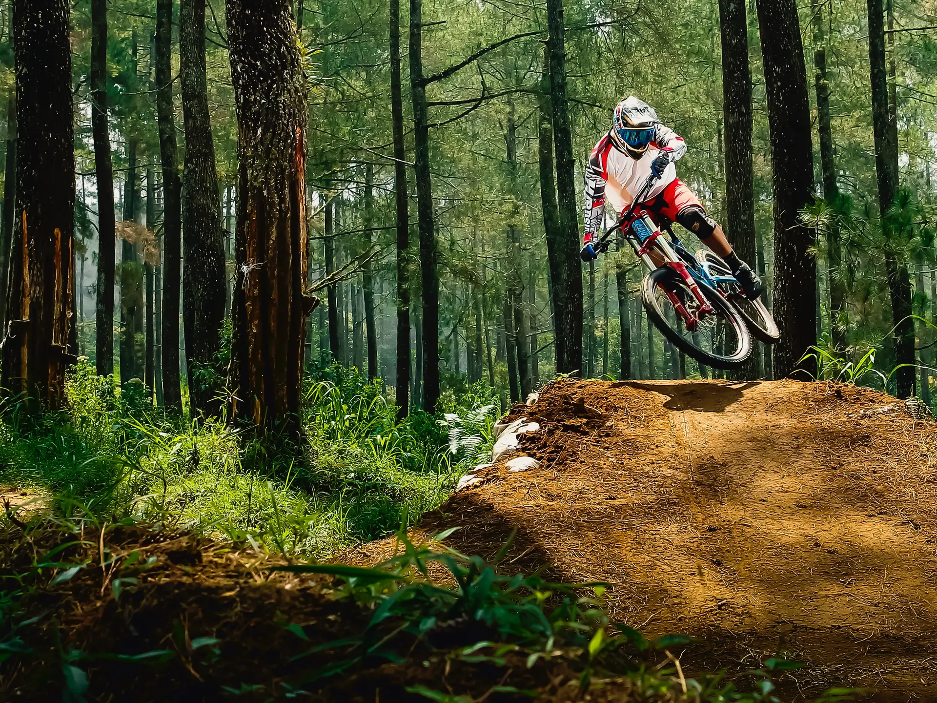
Difficult
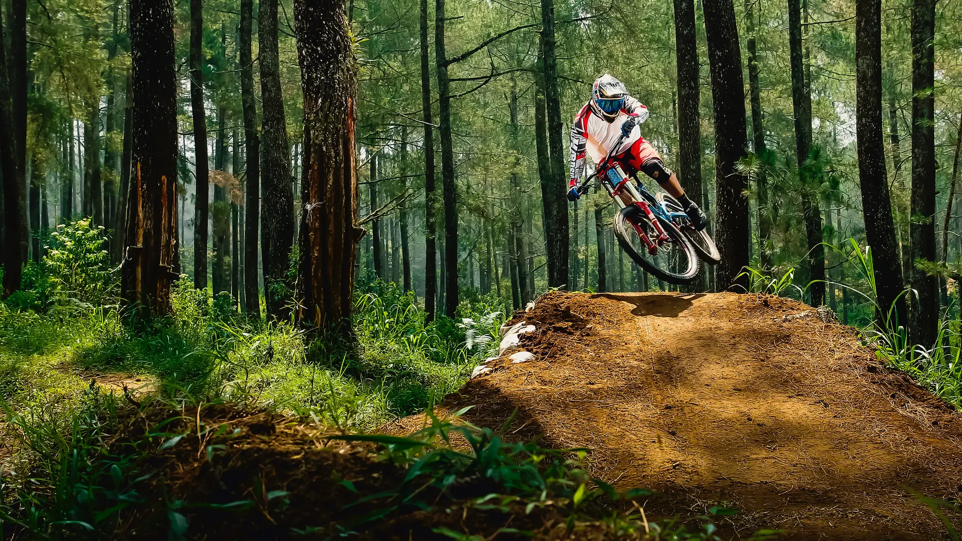
Difficult
Take the path up into the forest behind the shooting range, a relatively short but very intense climb.
Then we're on a ridge line where you can admire the entire palm city.
The descent is on a small grassy path with no major difficulties, but beware of the slope.
You then pick up a large track that climbs steeply to a cistern. Stay on the big track for around 2 km to reach a flat spot and then a relatively wide but steep descent with a mixture of dirt and pebbles.
The final stretch is on a stretch of road that leads out of the housing estate for around 300 metres, to pick up a steep dirt track on the final section to reach a flat area, which continues downhill to return to the shooting range parking lot.
Notes: To return to the velodrome, take the track winding through the maritime pines, which leads to the foot of the main track and then up towards La Coupiane. At the cistern, take the link back to the velodrome.
Rates
Rates
Free access.
—
Openings
Openings
All year 2025 - Open everyday
Medias
Medias
vidéo hyères maunière![vidéo hyères maunière]() Missing video caption
Missing video caption

