sentiers de randonne mercantour
©Isabelle Fabre

7 ideas for walks in the Mercantour National Park this summer

The Mercantour National Park is the last link in the Southern Alps, plunging into the Mediterranean. It is one of France’s richest natural areas in terms of biodiversity. There’s a wide choice of itineraries to suit all abilities. Discover our selection of breathtaking hikes for all levels!

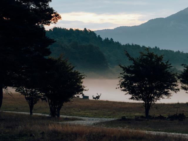
1 – HIKE TO MONT MOUNIER FROM VALBERG

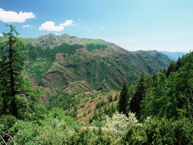
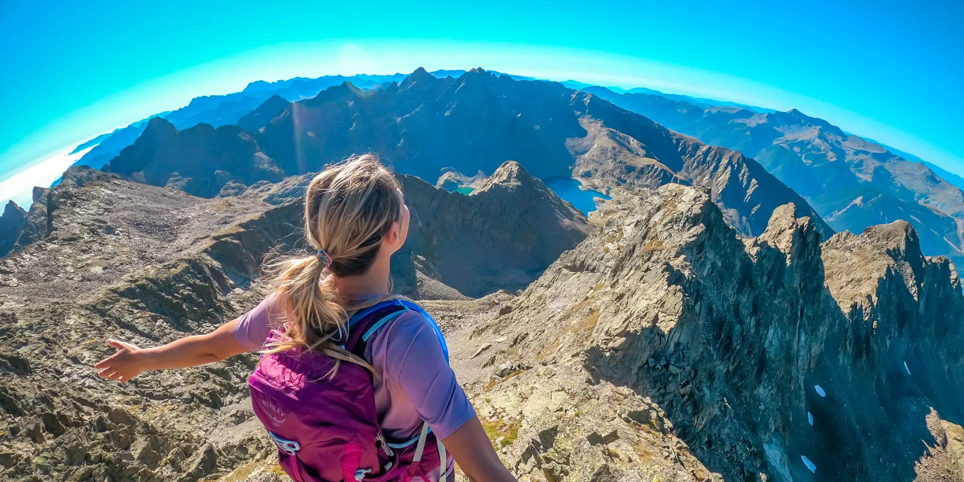
From Valberg, a 6-hour loop in the heart of the Mercantour National Park awaits you to reach the summit of the typical facies of Mont Mounier, the highest limestone massif in the Maritime Alps at 2800 m altitude! Mont Mounier is undoubtedly one of the best viewpoints in the whole of the Southern Alps. It’s also a botanist’s paradise, with exceptional flora that we’ll of course be content to admire without picking!

This hike leads to a unique 360° viewpoint, as Mont Mounier is isolated between the Tinée and Var valleys.

And there’s no difficulty involved, as the route is perfectly signposted and takes you along an easy path.

Check out the itinerary: Hike on Mont Mounier

2 – HIKE TO THE CIME DE CHAMOUSSILLON AND THE OBSERVATORY OF THE CIME DE L’ASPRE FROM CHÂTEAUNEUF D’ENTRAUNES

Cap on the Haut Var from Châteauneuf d’Entraunes starting from the magnificent, medieval hamlet of Les Tourres! This immersive 5-hour loop hike will take you to the Cime de Chamoussillon and then the Cime de l’Aspre, where the remains of an old observatory still stand. “L’Aspre” lives up to its name, for nothing grows on this austere, wind-beaten summit… apart from the remains of an old observatory, proof of the purity of the sky.
Careful! Be sure to follow the path markings to respect the pastoral activity that is very present in this area, which requires strict respect for the peace and quiet of the herds, and to adopt the appropriate reflexes in the event of an encounter with guard dogs.

Consult the itinerary: Randonnée de la cime de l’Aspre

3 – FRESH HIKE STARTING FROM MOULINET TO THE PEIRA-CAVA BAY

Starting from the village of Moulinet, a village situated at an altitude of 800 metres in the Mercantour National Park, set off on a 5-hour walk where a change of scenery is guaranteed!

Discover this ancient hamlet in the commune of Sospel founded in the 12th century by farmers who, to avoid a 12 km long journey, stayed put in the country.

Thus they built a small flour mill (“molinetto” in dialect) for their own use, hence the current name.

Until then, these farmers lived in thatched barns during the “summer” season; their ever-increasing numbers and the development of arable land gradually settled a few families who built stone dwellings.

Check out the itinerary: Peira-Cava walk

4 – HIKE ON THE ROADS OF SALT TO THE COL DE CERISE STARTING FROM LE BORÉON

A 5-hour hike will be needed to discover the historic communication route between France and Italy commonly known as the Col de Cerise trail!
It links the villages of Saint-Martin-Vésubie and Terme di Valdieri. It was created in 1430, when the highlands of Nice came under the control of the House of Savoy, in order to collect the “gabelle” tax.
From the Latin “cerasus” come the imaginary place names of “ciriega” (in Italian), “cirieia” (in dialect) and “cerise”, alluding to the fruit trees that once dominated the Lac du Boréon. But while this evocative name may conjure up dreams of delicious red fruit, it’s in the Alpine zone that you’ll find a sustained ascent to the border ridge, in the heart of the Mercantour, whose nearby summit gave its name to the National Park.
Coloured gneiss cliffs, mélézin with imposing shafts and high altitude lakes punctuate an ascent whose successive jumps (Cavalet plateau, Cerise lake) require a certain physical investment.

Consult the itinerary: Randonnée du Col de Cerise

5 – HIKE TO MONT PÉPOIRI STARTING FROM VALDEBLORE

Like the previous hike, this one will also only require a 2-hour walk, starting from Valdeblore, but the level will be sportier.

At the very top of Valdeblore and Vésubie, a beautiful hike in the Valdeblore Alps, with the ascent of a major summit in the area, Mont Pépoiri, offering an exceptional view of the entire border ridge of the Mercantour massif.

The ascent of Mont Pépoiri has a low gradient in relation to the interest of the route and the quality of the panorama, but the reward is worthy of the last efforts made as the summit offers a fabulous 360° panorama of the region, with the Millefonts lakes below…

Check out the itinerary: Hike Mont Pépoiri

6 – HIKE TO LA BAISSE DE DRUOS STARTING FROM ISOLA 2000

Easy to reach from the resort of Isola 2000, this hike is accessible to all as it only takes 2 hours to get there. It offers extraordinary scenery, particularly over the Terre Rouge lakes.

Located just above the lakes, La Baisse is on the border between France and Italy and offers two magnificent viewpoints too. On the French side, you can see the Terre Rouge lakes and the Isola 2000 ski resort in the distance; on the Italian side, you can discover the Italian rocky cirque of Valscura with its lakes (Valscura lakes).

Early in the morning or late at night, it is often possible to encounter ibex, chamois and mouflon on the Italian side, where the descent is easy.

Check out the itinerary: Hike Baisse de Druos

7 – HIKE TO THE BOIS D’ANELLE CIRCUIT FROM SAINT ETIENNE DE TINÉE

On this suggested hike from Saint-Etienne de Tinée, allow a good 4 hours’ walk to visit the bucolic plateau d’Anelle (derived from the Provençal “agnel” meaning “lamb”). This was once a “summer pasture” district, as evidenced by the many mountain pasture barns built of larch wood, locally known as “butières”, which were used to shelter precious fodder in preparation for the long winters.

The sunny countryside of Ublan, which is still tended and irrigated (meadows, vegetable gardens, orchards), leads on to a dry area of sheep pasture before the cool upper melezin of the ubac of Anelle.

The northern slope of the cime d’Anelle offers several views of the border range, including Mont Ténibre, the highest point of the Haute Tinée. At 3,031 metres, it towers majestically over the entire valley.

Check out the itinerary: Randonnée du bois d’Anelle

You'll love it too!