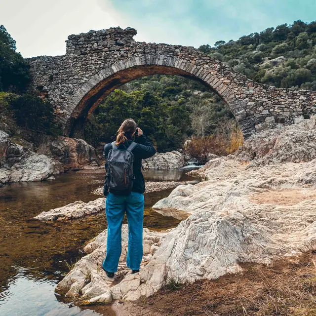
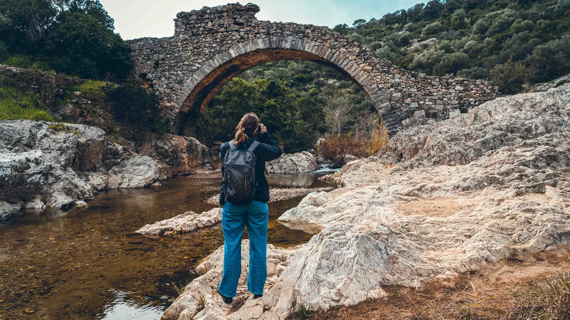
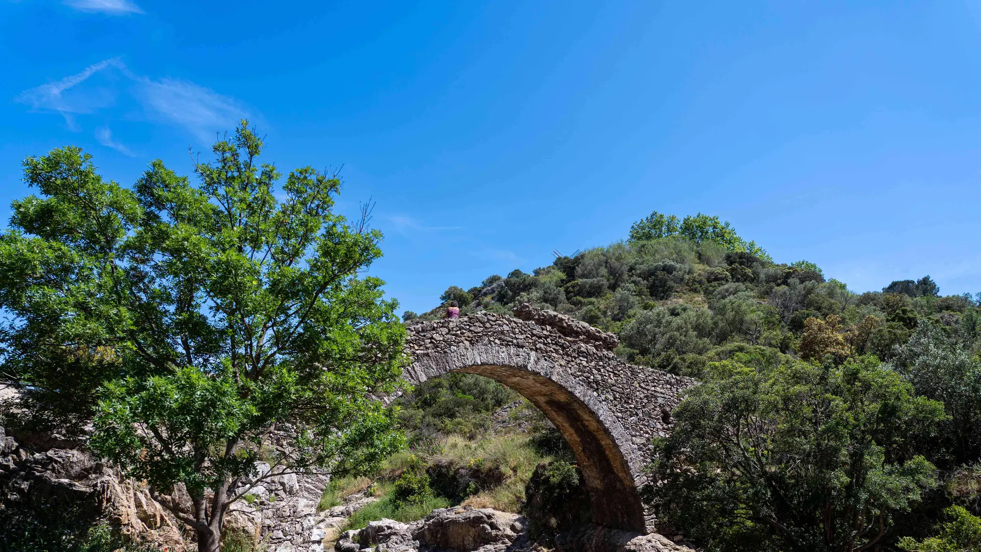
Just a stone’s throw from the village of Grimaud, dominated by its castle overlooking the Gulf of Saint-Tropez, this circular walk will allow you to admire the valley’s natural and historical heritage, the River La Garde and the Pont des Fées.
ACCESS
▪️Park in the car park near the skate park and the multi-sports ground.
▪️GPS coordinates: 43°16'34.8‘N 6°31'17.4’E
STARTING POINT
▪️GPS coordinates: 43.277271, 6.521772
▪️In front of the trail’s starting sign.
PLEASE NOTE
▪️ Markings: Yellow
▪️ A stony path with rocks and roots; suitable footwear is essential.
▪️ This trail is not recommended in wet weather due to the risk of the river rising.
▪️ Sensitive area: please stay on the path.
▪️ The trail may be closed in summer due to fire risks. Check the access map for the Var forest areas from mid-June to mid-September.
▪️ The river is usually dry during the summer months due to the heat.
▪️ To make the most of the trail and the surrounding countryside, we recommend visiting from autumn to spring.
ITINERARY
1 – From the car park, head down towards the boules court, walking alongside the cemetery on your right. Walk past the boules court and follow the path until you reach the sign marking the ‘Vallon du Pont des Fées’ trail.
2 - The sign tells you about the Pont des Fées and its history, what you’ll see during your walk, and also shows the route of the trail, which forms a loop. Facing the sign, the trail begins with a flight of steps on your left. Take these steps.
3 - After three steps, an information board tells you about Grimaud Castle, another must-see landmark in the village.
4 - The staircase then narrows; please take care on the descent as some steps may be covered with earth and pebbles.
5 - At the end of the steps (around sixty), turn right and follow the path: it slopes gently downwards.
6 - At the end of this first straight stretch, take the path that continues to the left (a hairpin bend), which is on a slope. After a few metres, there is an old well on your left, and a bench on your right where you can take a break if needed.
7 - Continuing along the path, you’ll come to a junction. Take the path on your right with some steps (about ten steps). At the end of the steps, you’ll rejoin the path (which is stony). You’ll come to another flight of steps (about twenty steps). Follow the path (straight ahead) and you’ll come across a sign telling you about the flora found along the path.
8 – Facing the sign, take the path that continues to your left (hairpin bend).
9 – At the end of this slope, you’ll come to a junction. To the left is an information board about the black alder riparian woodland, a bench, and another bench where you can take a break. You’ll need to return to the junction to continue along the path. You’ll start to catch sight of the valley. To your left is the River La Garde and to your right, the rocks.
10 - Carry on straight ahead, following the river. You can either go over the rocks or follow the path between the earth and the rocks (it looks as though it’s been carved into the rocks). Depending on the season, there may be water here.
11 - In the distance, ahead of you, you’ll see an information board set slightly higher up. Head towards it. The information board tells you about the water mills. You’ll have a lovely view of the River La Garde.
12 - As you head back down from the sign, follow the dirt track that branches off to your right. After a few steps, the path climbs slightly to the right and the Pont des Fées will be on your left. You’ll see a bench and an information board on the Pont des Fées.
13 - Carry on straight ahead after this sign to continue the walk. The path is relatively flat. After a short walk, you’ll come to a sign telling you about the olive tree.
14 - Continue along the path; you’ll reach a junction with directional signs and see a sign about the local wildlife.
15 - Continue to the next junction with directional signs and an information board about the reintroduction of the maritime pine.
16 - Follow the path towards “Le Pierredon”; a few metres further on, you’ll see yellow signposts again. Take the path to the right of these signposts and follow the wooden post with the yellow markings. From here, the path becomes stony, with tree roots and an uphill gradient.
17 - After a few metres, you’ll see a yellow sign indicating a rest area with a bench. Take a break or carry on along the path.
18 - Soon, you’ll see a bench ahead of you, followed by a bend to the right which you should follow.
19 - Shortly afterwards, there’s another junction. Ignore the path leading down to your left and carry on straight ahead until you reach a bend to your left and another junction. Take the narrow path on the right to find another information board explaining the geology, the landscape and the vegetation cover.
20 - Retrace your steps to rejoin the main path, continuing to follow the yellow markings past the wooden post on your right.
21 – You’ll come to another junction. On your right is a sign telling you about the local wildlife. Straight ahead is a path that goes round the mill, and on your left is an uphill track to complete the loop. Take the latter and follow the signposts.
22 - At the top of this climb, you’ll find a wooden gate and another junction: the village is to the left and the mill to the right. Head up towards the mill.
23 – You’ll arrive at the mill and see a panoramic sign to the right of it. This sign shows you the Gulf of Saint-Tropez and offers a lovely view. Head towards the mill. You can see the castle behind you.
24 – In front of the mill, you’ll see a round stone slab. This is a threshing floor that was used to separate the grain from the ears of wheat.
From the threshing floor, you’ll see some steps leading down to the left of the mill. Take them (about ten steps). Carry on straight ahead, follow the signposts, and continue down the steps (about twenty steps). Carry on via the next flight of steps (about forty steps).
25 - Go straight ahead to return to your starting point at the sign saying ‘Welcome to the Pont des Fées trail’.
Enjoy your walk!
Find the route description, map and points of interest for free on the “Cirkwi” app.