The largest dolmen in the Var at La Londe les Maures
Although often overlooked, the megaliths of Provence represent a rich part of the region’s heritage. Of the nearly 160 monuments recorded in the Provence region, the Var has by far the largest number, with around twenty menhirs and some sixty dolmens.
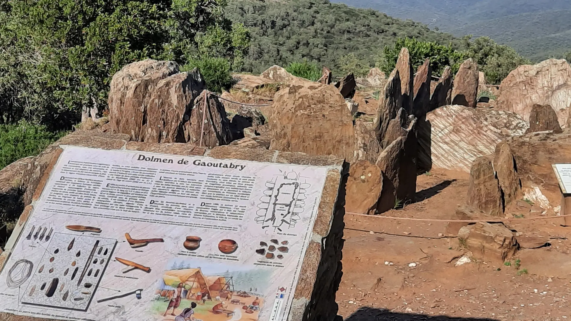
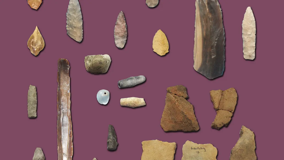
Discovered in 1876 and excavated on several occasions, the Gaoutabry dolmen is a collective burial site: it contained burnt human remains belonging to at least 34 individuals, accompanied by grave goods (pottery, flint tools, beads). Due to the acidity of the soil and losses incurred during the initial excavations, this rich collection of artefacts is but a pale reflection of what the tomb must originally have contained. The tomb was in use during two periods: the late Neolithic (2,800 years BC) and the early Copper Age (2,000 years BC).
The place name ‘Gaoutabry’ probably derives from the monument’s location on the crest of a hill. The Provençal word ‘gaouto’, meaning ‘cheek’, likely refers to this crest. The adjective “gaou”, meaning “hot”, also describes this burial shelter in relation to its exposure to the sun.
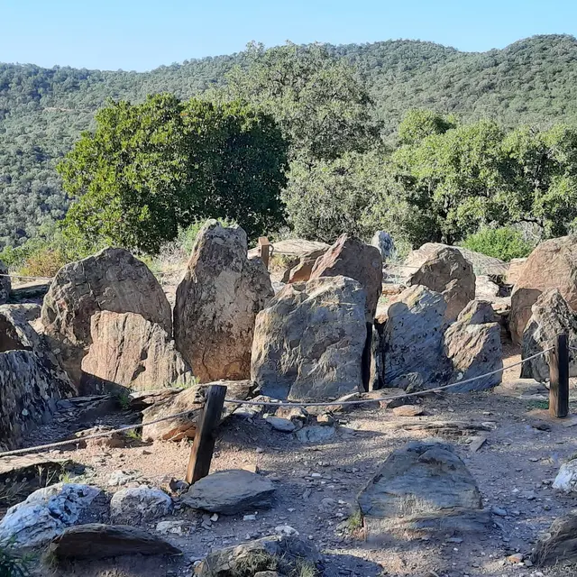
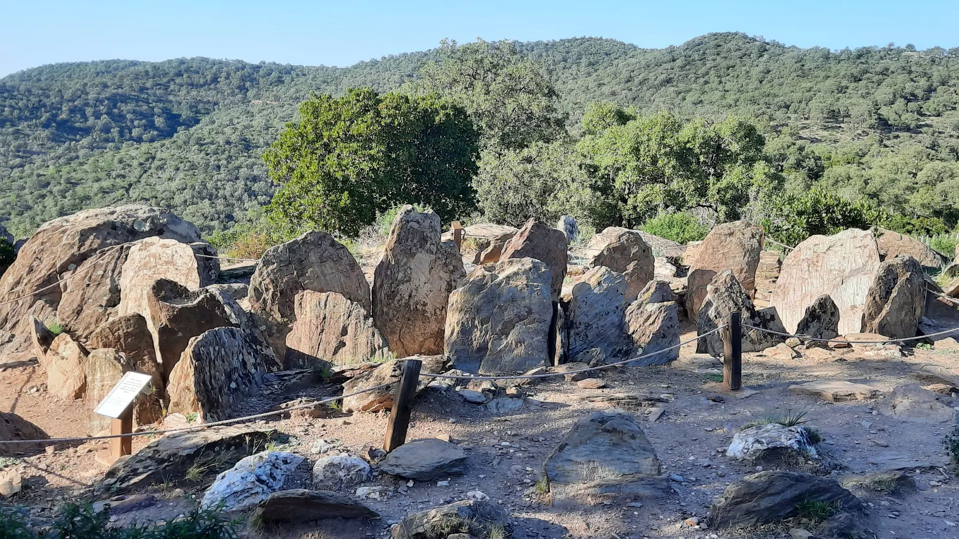
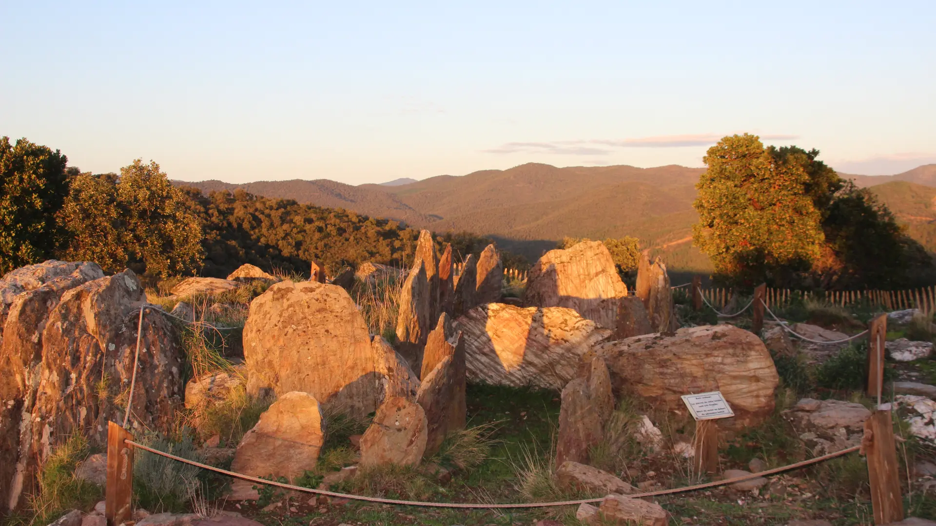
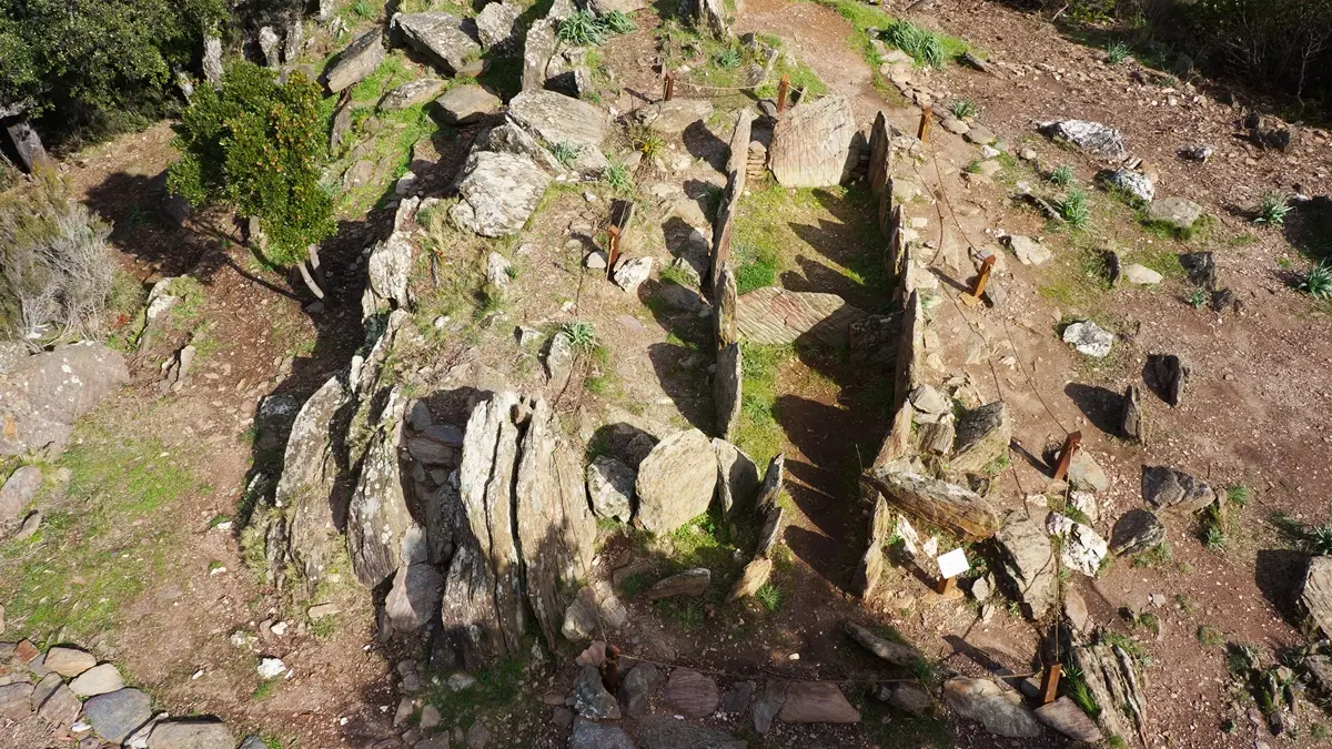
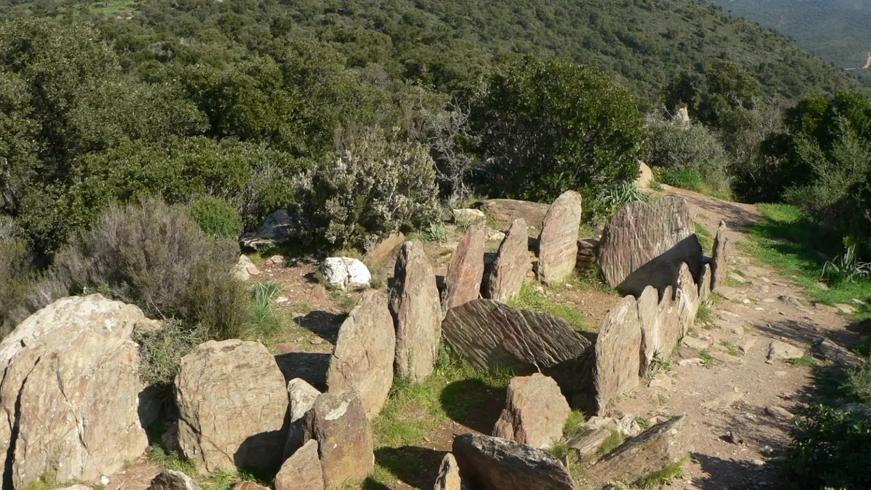
Built in the centre of a burial mound that is now badly eroded, the dolmen measures 6.5 m in length and 1.5 m at its widest point, covering an area of nearly 10 m², making it the largest in the Var in terms of surface area. Constructed from large slabs of schist, it features a chamber with an antechamber, in an elongated rectangular shape. This architecture, typical of dolmens in western Provence, sets it apart from those in the Var, which are predominantly small, single-chambered and square in shape.
The symbolic orientation of its entrance towards the setting sun at the winter solstice is no coincidence. The absence of a flat capstone may be due to the nature of the materials used – likely wood, as suggested by the gaps between the vertical slabs. In any case, the thinness of the slabs rules out the possibility of it having been covered by a large stone slab.
Listed as a Historic Monument since 1988, it remains a fragile structure, which has already undergone several restorations. The monument is now empty of the artefacts discovered during the excavations, which are on display at the Archaeological Museum of St Raphaël.
A viewing platform offering an exceptional panoramic view.
Follow the D88 towards Collobrières, then park at the foot of the Notre Dame des Maures trail. Walk along the trail, following the blue markings and the stone steles bearing pictograms.
Free car park at the foot of the Notre Dame des Maures trail.
Regulated access depending on the opening of the massifs (fire alarm plan).
Distance: 2.3 km
Elevation gain: 150 m
Tips
Guided tours on scheduled dates for individuals and on request for groups.
Follow the D88 towards Collobrières then park at the foot of the Notre Dame des Maures trail. Follow the blue markings and the pictogrammed stone steles on foot.