Description
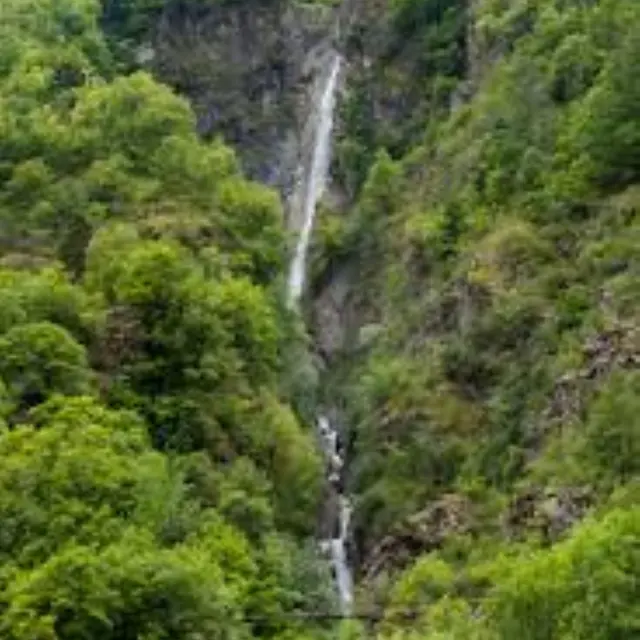
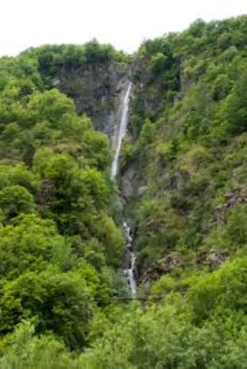
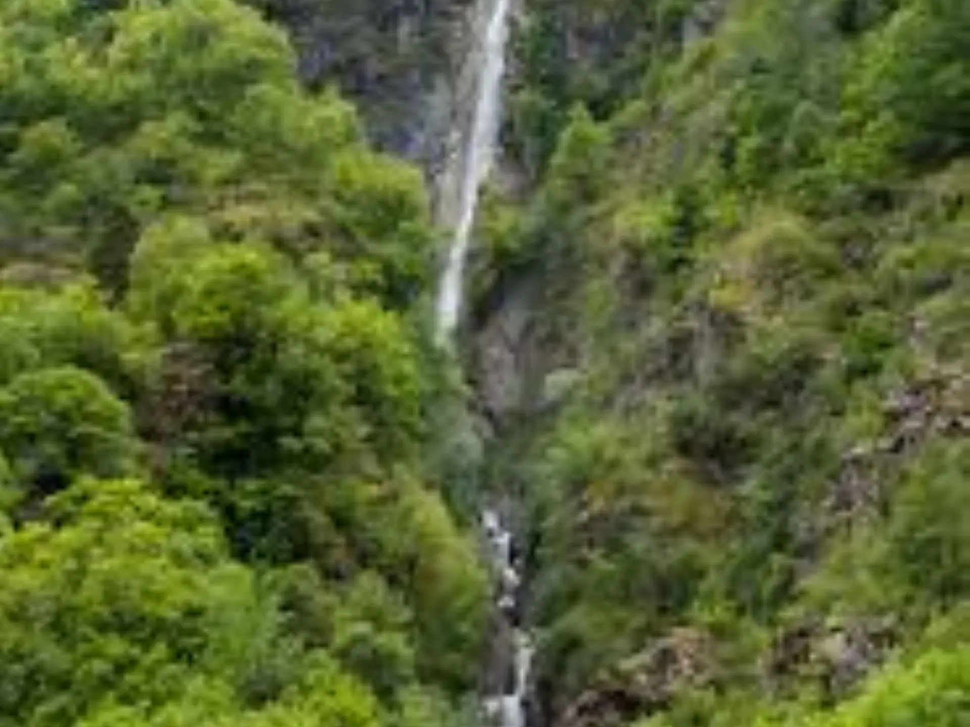
A 3-hour hike to reach our emblematic waterfall, the Cascade de Louch.
The route starts opposite the rescue center, below the village (b.1); cross the Tinée on a bridge (b.2) and turn left onto the old military track as far as the second hairpin bend (b.3). At this point, abandon the track for a path that climbs through larch and birch trees (b.5).
Turn right to pass an oratory and a few barns, then continue to the Louch track (b.6); follow it right for about 800 m to the highest point of the circuit, the Clot Gili barns (b.7), which offer an interesting view of the northern peaks of the Tinée and the resort of Auron Ouest. Start the descent by taking the path to the right through meadows and raspberry fields.
Cross a track, then continue along the path as far as marker 4, where you can see the roofs of the village, which you quickly reach on a beautiful, winding paved path (beware of the unwanted water pipe that clogs up part of the route).