Description
A beautiful 5h30 hike that takes in the Tête Mercière, the magnificent alpine cirque that surrounds the resort of Isola and the high Mollières valley.
From the Maison d'Isola, cross the Vallon de Castillon (b.80) to follow the Chemin des Italiens up under the Grand Tour trail. Turn right to reach the base of the Col de la Roubine (b.96, 96a).
Follow a path that starts to climb the northern slope of the Tête Mercière, whose summit is reached by a series of switchbacks (2,491m). On the way down, follow a well-marked path on the north-east ridge that divides the Chastillon and Mollières valleys, taking you to the edge of the National Park, to an old military cable car at Col Mercière (2,342m - b.95). From the pass, don't follow the main track down into the Mollières valley, but take the small path and the cairns.
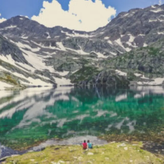
Descend and skirt a rocky bar, then climb a little to reach the Tavels lakes (2,235m). Return along the same path to Col Mercière. From the pass, turn right onto the almost level path that joins the route to the Terre Rouge lakes (b.92).
Fork left: the path soon fords the Terre Rouge valley, then crosses the station's adret to marker 91. At marker 91, descend left to b.90 and b.80.