


Description
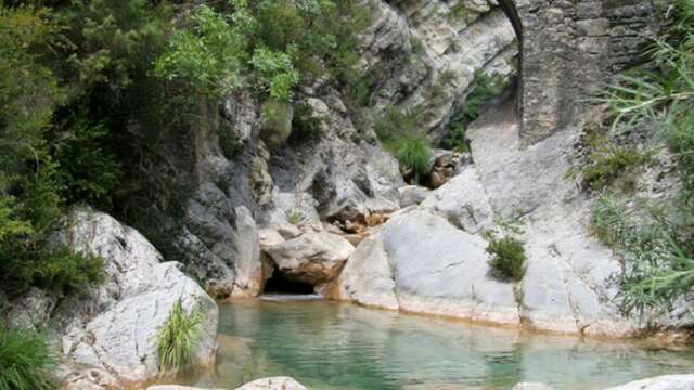
Un percorso ideale per tutte le stagioni sulla riva sinistra della Roya, che offre una vista mozzafiato sul fiume, sulle cime innevate dell'Alta Roya e sul Mediterraneo. Prosegue verso la valle di Carleva in un ambiente naturale più selvaggio e intimo.
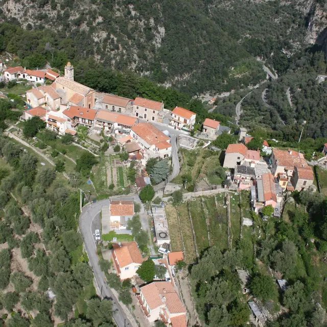
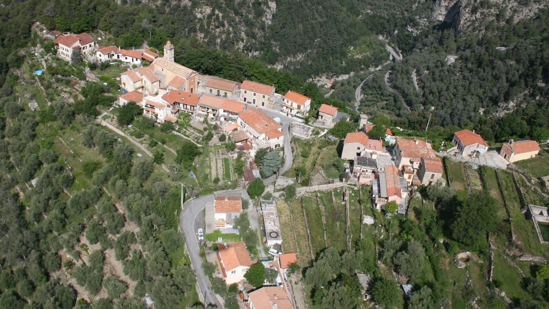
The route is dotted with ‘casouns’, the emblematic buildings of the valley whose architecture combines stone and lime mortar and is more reminiscent of the Moorish or Sicilian styles than that of the Côte d'Azur, underlining the scarcity of local materials.
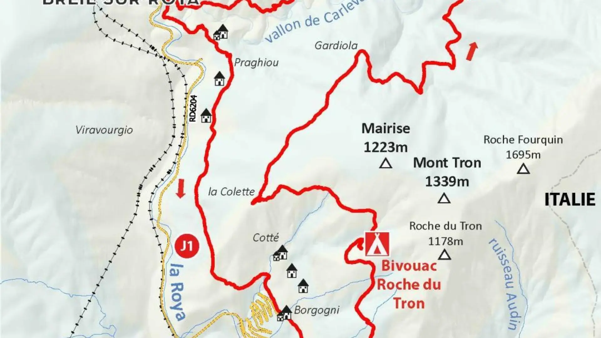
DAY 1: BREIL-SUR-ROYA TO THE ROCHE DU TRON BIVOUAC
Ascent: + 850 m / - 210 m
Distance: 8.5 km
Time: 4 hrs 30 mins
Physical effort: difficult
Technical nature of the trail: medium
1/ From the tourist office, turn left and walk past the town hall. Head downstream along Boulevard Rouvier as far as the lower bridge over Lac de Breil (290 m - b. 1 then b. 3);
2/ Walk along the fortification wall, down towards the chapel of Saint-Antoine and pass under the Porte de Gênes to follow the Roya as far as an oratory (b. 105).
3/ Continue straight ahead on the valley path, cross the Carleva valley and climb back up to the Praghiou track (b. 104).
4/ Continue along the track on the right until you find the path on the left (397 m - b. 106);
5/ Follow the balcony, cross a valley and reach the first houses in Cotté (b.422).
6/ Go 500 m up the road on the left to reach the Place de Libre (480 m) and find the path passing in front of the church (b. 417).
7/ Climb up through a pine forest to a ridge (b.418).
8/ Turn left and continue (b.419) ;
9/ Leave the Roche Fourquin path and follow the route to the left (north), crossing several valleys and spurs to the ridge below the Roche de Tron (1,223 m - b.420).
10/ Reach the bivouac just after the ridge on a level path.
DAY 2: BIVOUAC FROM LA ROCHE DU TRON TO BREIL-SUR-ROYA
Ascent: + 420 m / - 1 050 mm
Distance: 11.5 km
Time: 5 hrs 30 mins
Physical effort: difficult
Technical nature of the trail: medium
1/ Return to the main path and continue to the right to start the ascent;
2/ Then start down the Vallon de Mure, which is quite steep at first, towards the small Colette plateau (b. 421).
3/ Turn right to continue along a long traverse (b. 107).
4/ Pass through the cirque, alternating between flat sections and short climbs and descents through hop-hornbeam thickets.
5/ Cross the panoramic spurs of the Serres de Poggio Armina, Mont Vert, Pozzo and Cabanasso, as well as the tributary valleys forming the Carleva downstream.
6/ Continue along the upper basin of the Carleva and, past the remains of the old quarry, descend through the steep rocky bars of the southern slopes of the cime d'Aïné.
7/ Pass between the houses of Vésaire and join the valley path (oratory - b. 105) through the olive tree terraces.
8/ Return to Breil-sur-Roya via the Porte de Gênes.