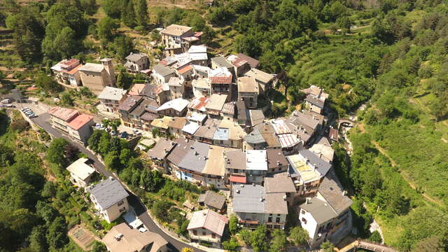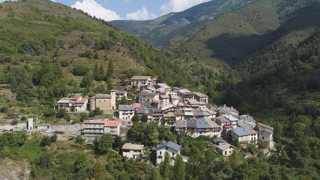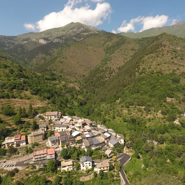


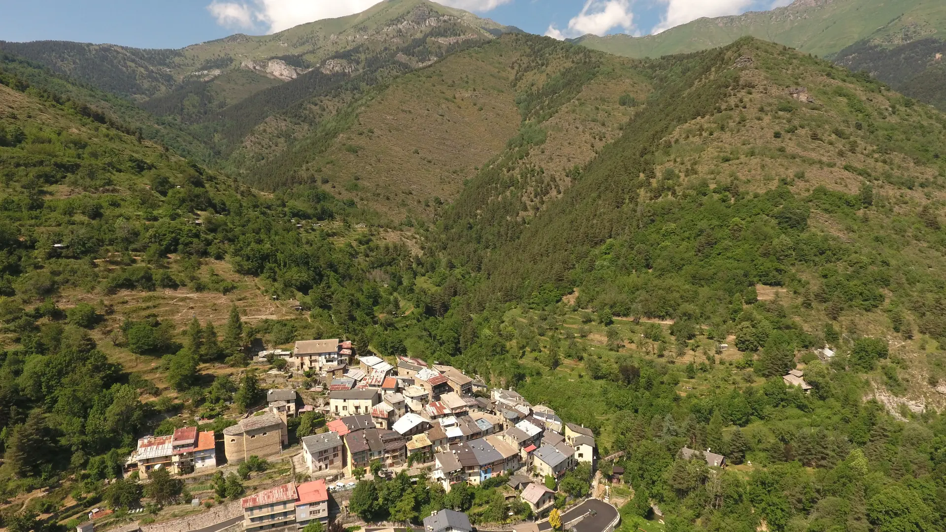

Description
A superb hike with a vertical drop of over 1,000 metres, Mont Bertrand offers one of the finest views of the Brigasque land, known as Téra Brigašca in the local dialect, and of the Ligurian pre-Alps.
The starting point for this hike is the drop-off at Ugail, where you can park your car, accessible via the track from the hamlet of Morignole. Beacon 300, at an altitude of 1,392 m, indicates the direction to follow. Initially, the trail crosses a valley to join the ridgeline, followed by a track leading to the Crouseta drop. At marker 312 (1,677 m), turn towards marker 301, thus starting the climb along the ridge towards marker 327c, perched at 2,000 m altitude.
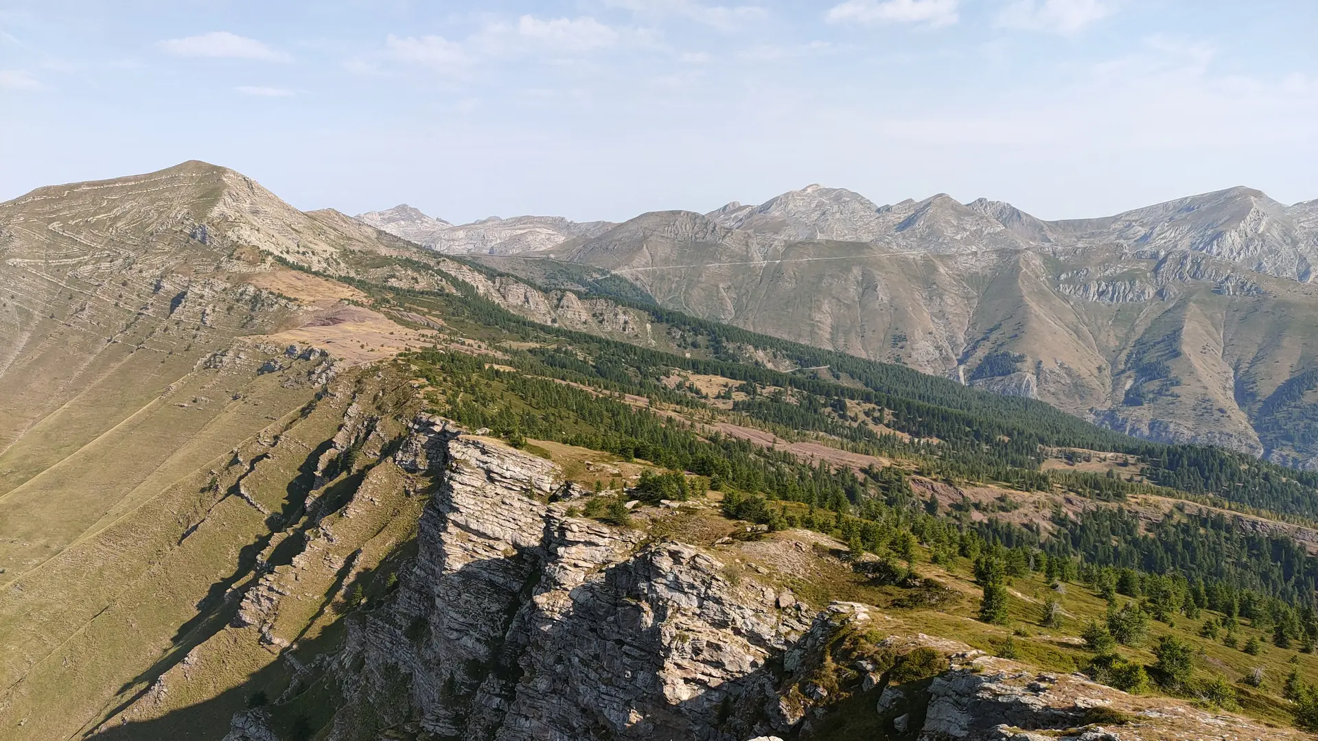
As you progress, the landscape changes, giving way to the steep, rocky slopes of Mont Bertrand. The trail winds through a wood of Scots pine and larch, skirting the ruined Crouseta blockhouses. At marker 327c, continue along the ridge towards Mont Bertrand. This bare ridge gradually slopes down to give way to the panoramic summit plateau, culminating at 2,482 metres. From here, you can enjoy a 360° view of the extreme south-east of the Alpes Maritimes: the Col de Tende and the Massif du Marguareis to the north, Mont Saccarel to the east, the Balcon de la Marta to the south, and majestically to the west, Mont Bego in the heart of the famous Vallée des Merveilles.
For the return journey, follow the path you took on the way up. If you prefer an alternative, you can start the hike from the hamlet of Morignole at marker 305, then follow markers 304, 303, 302 and 301 to reach the Crouseta drop. This option increases the altitude difference by 500 m.